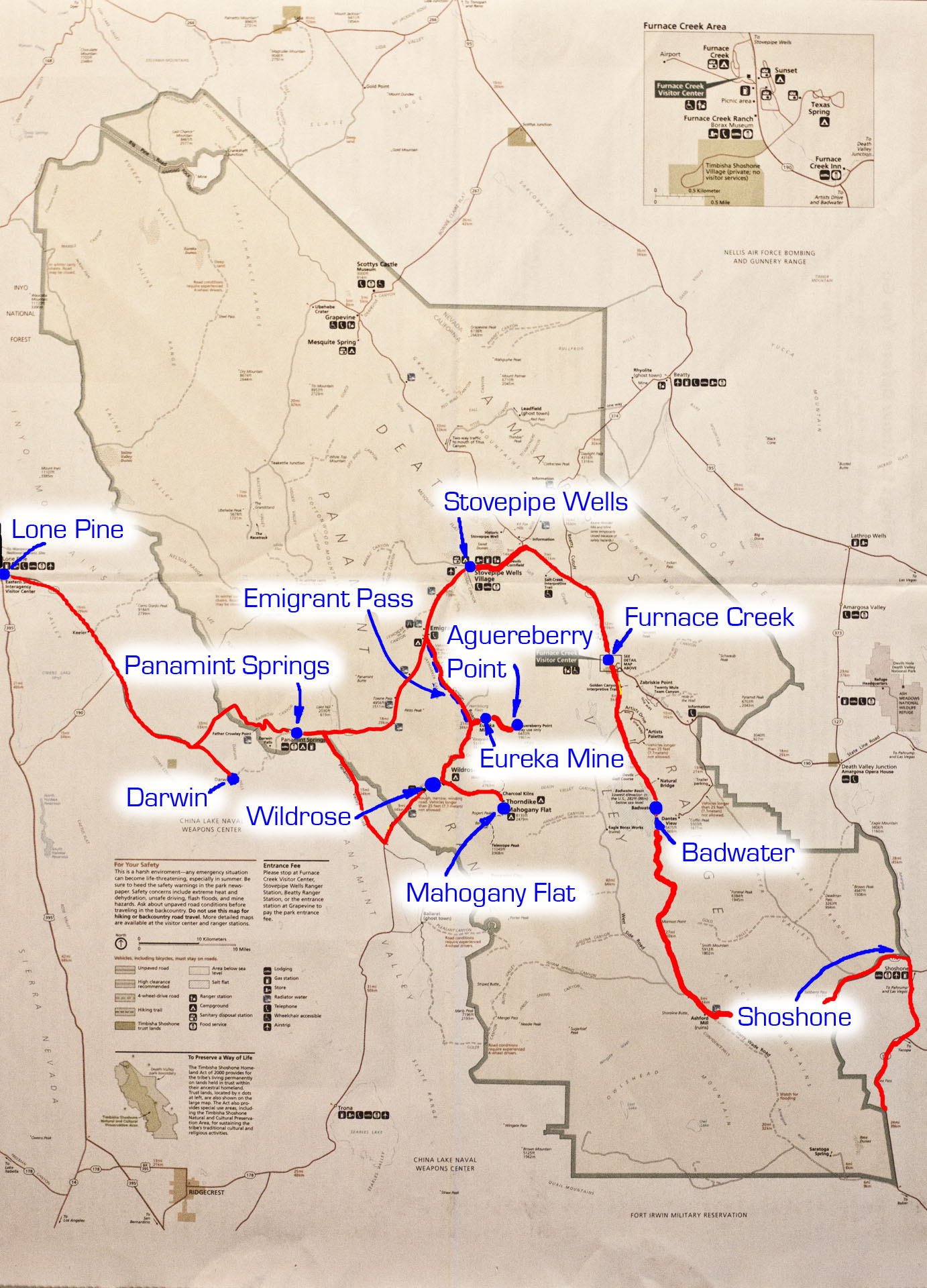
Explorations in Death Valley
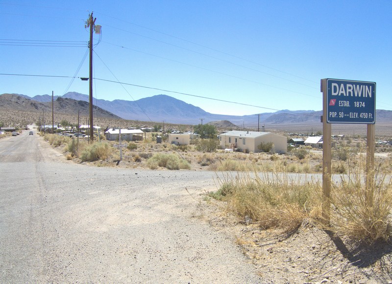
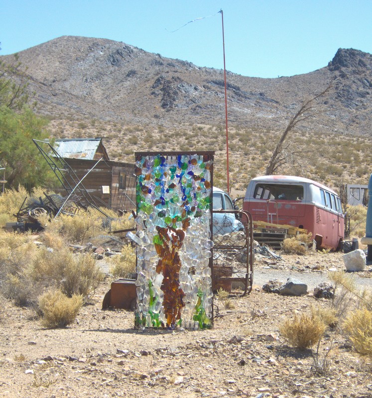
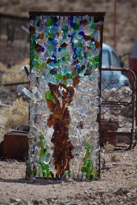
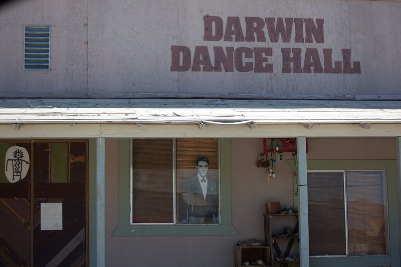
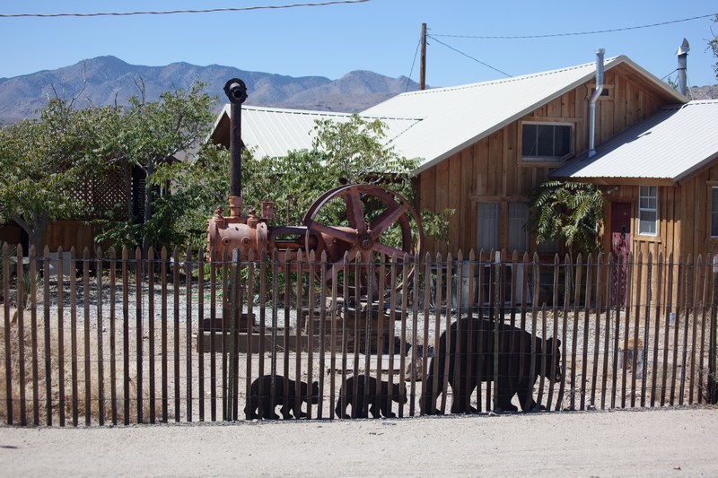
Our first stop is the old mining town of Darwin, an eclectic community of desert dwellers with a decidedly artistic bent. There are outdoor glass mosaics, and the old Dance Hall still has some activity.
As you can see, a very special celebrity has dropped in as a surprise, but we caught him peeking out the window before showtime.
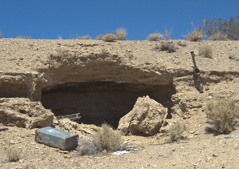
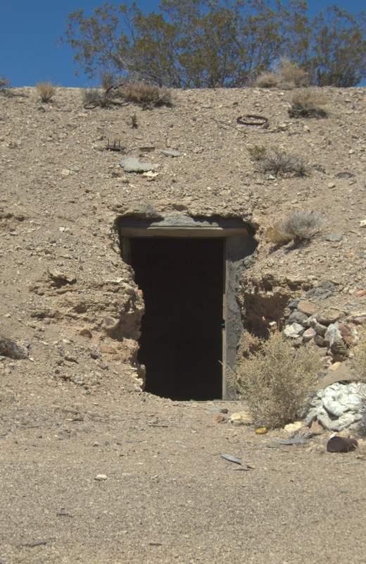
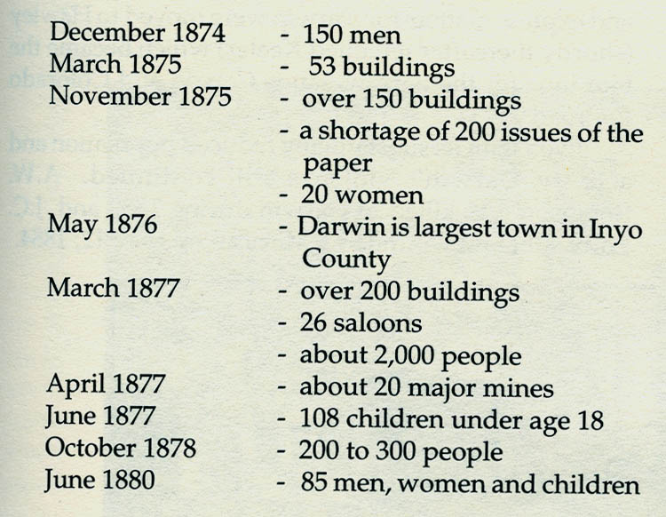
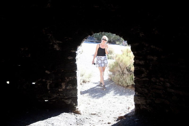
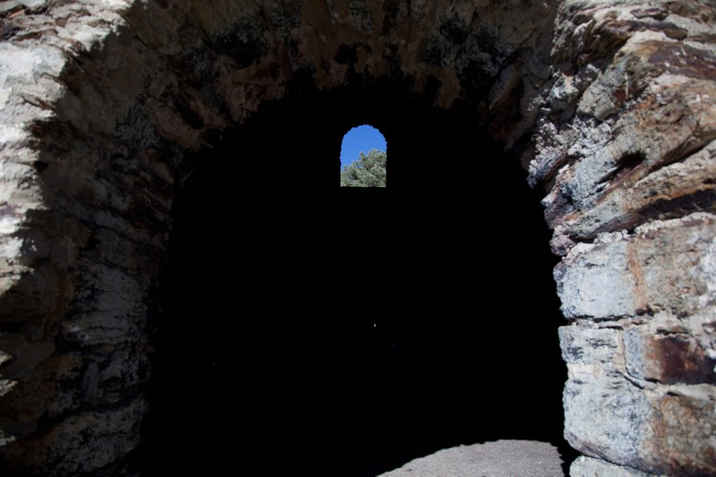
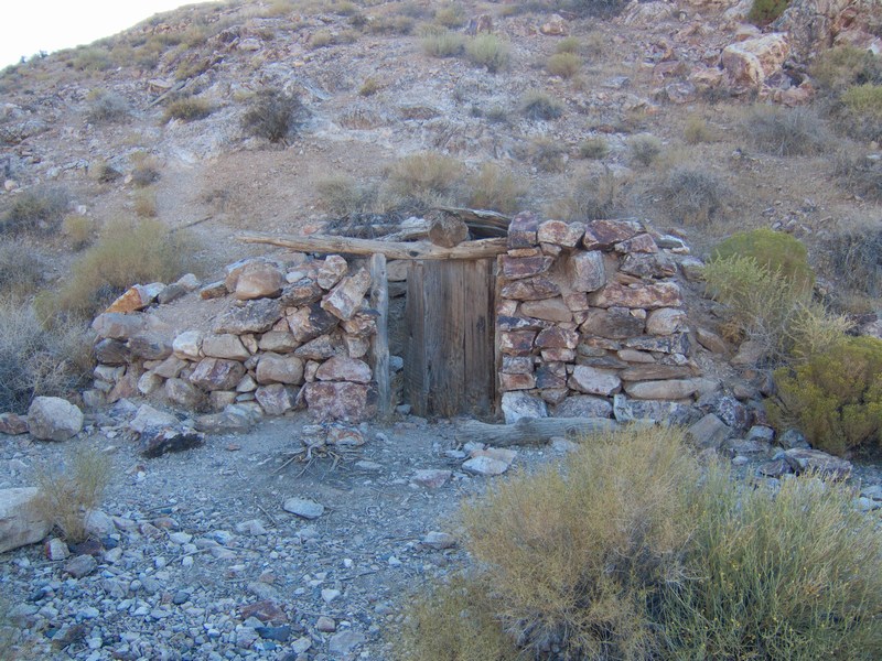
As one of the booming mining towns during the California goldrush, Darwin has lots of colorful history. One place where you get a sense of times past, is along an embankment where people lived in dugouts. To this day they remain...
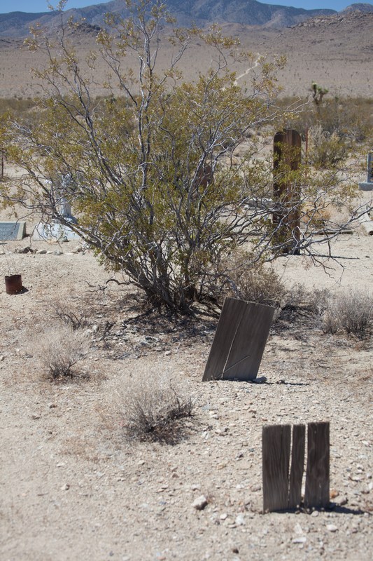
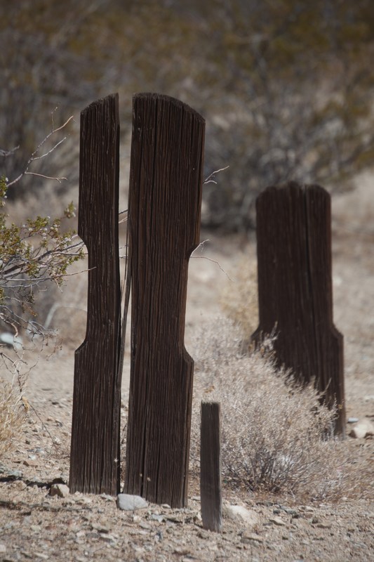
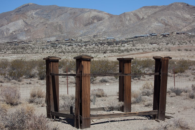
A powerful sense of history pervades the desert in this area. You can see and and sense it by taking a quiet and reflective walk through the little Darwin cemetery, a mile out of town. It's sheltered by a gated fence. Some of the markers are so old and weathered by blowing sand that they are no longer only Monuments to the Departed, but to the desert's atmosphere as well.
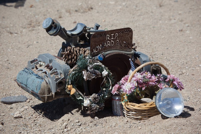
As a place of reflection, the locals care for the site by placing flowers and tending the tumbleweed. In the far corner there's a bench looking to the horizon, and nearby, a more recent marker is placed - most likely reflecting the passions of the person At Rest there.
We spent time visiting each marker and thinking of the people and the history. The wind blew gently, then gusted briefly under full sunny skies. After a good visit, we left quietly and continued back through Darwin on our way toward Panamint Springs.
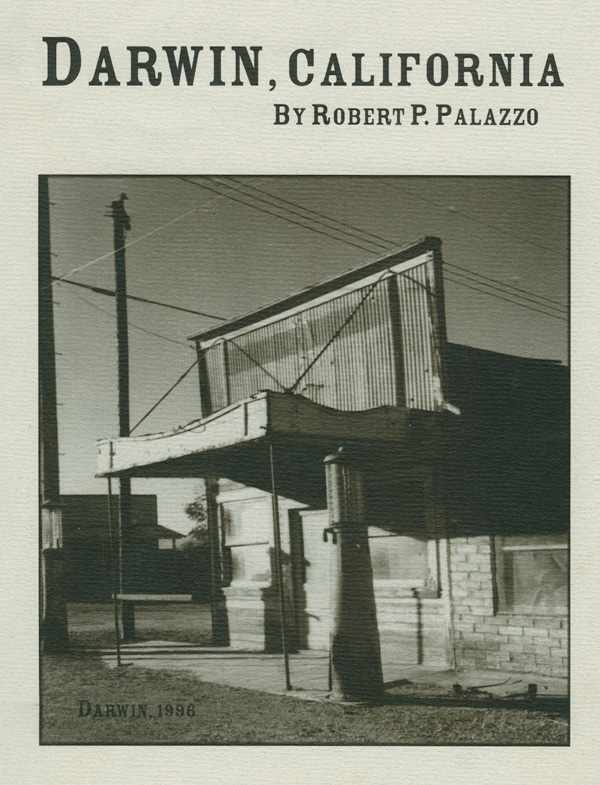
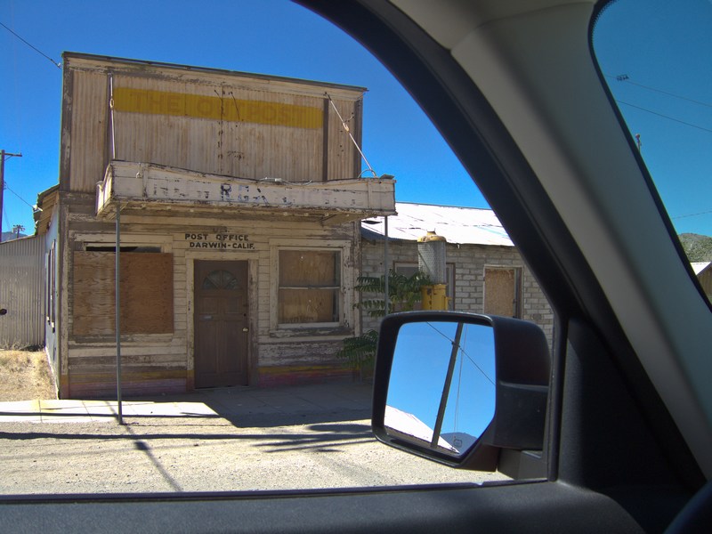
There is a very good 80 page book published by Western Places (Lake Grove Oregon) that details the history of Darwin. It's full of old photographs and paints a great picture of the town's rise to prosperity, and it's return to solitude. Note that 14 years hasn't really changed the outside appearance of the old Darwin Post Office, nor the petrol pump next to it...
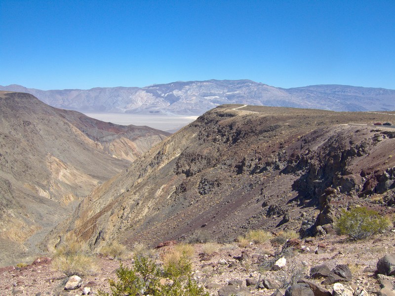
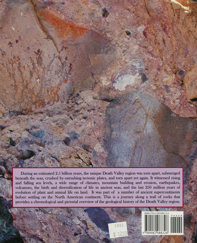
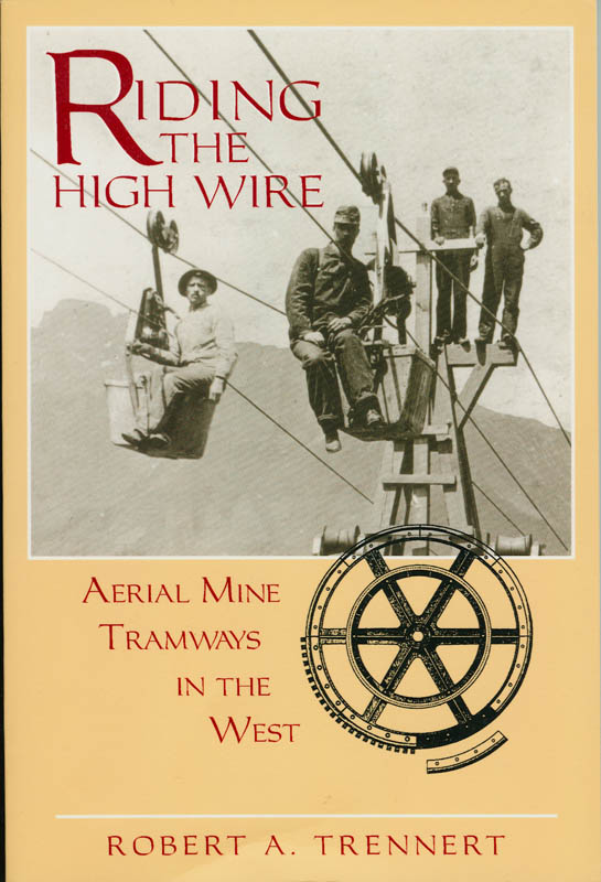
Making our way along Highway 190, we enter a region of ancient geological upheaval. This vast area has folded and faulted over the eons, and rock of all types and ages is found therein. For a fantastic tour of the geology, grab a copy of Lengner's book "A Trip Through Death Valley's Geologic Past). I got mine at the Furnace Creek Visitor Center, together with another book of local interest, which details old aerial tramways - some of which still stand in remote areas.
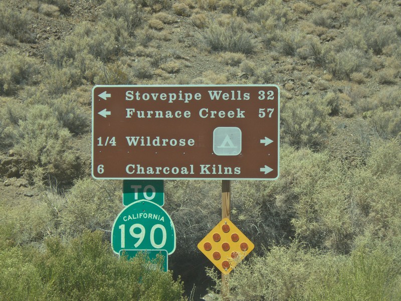
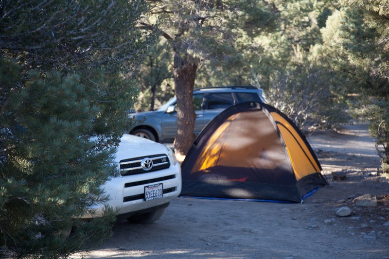
Continuing through Panamint Springs with an ice cream and a full tank of gas, it's up to Mahogany Flat to get a campsite.
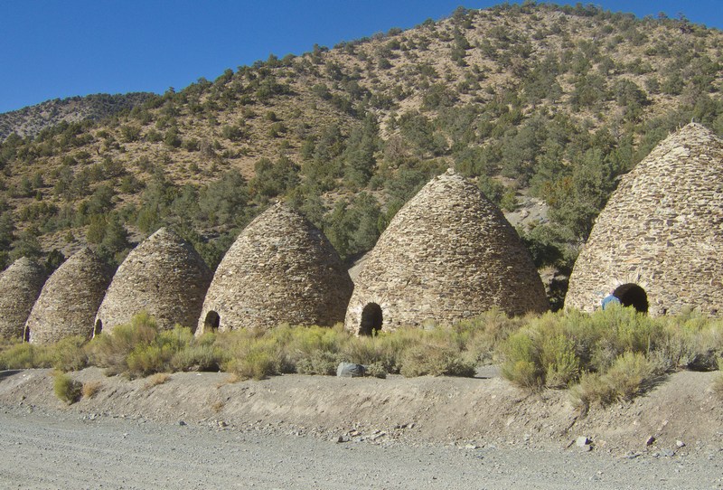
It's Friday morning and long weekends often mean the 10 campsites are taken by mid-afternoon. We stop on the way up to visit the charcoal kilns which Jackie thinks are pretty impressive. The Navajo restoration teams did a great job on them many years ago.
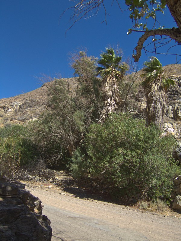
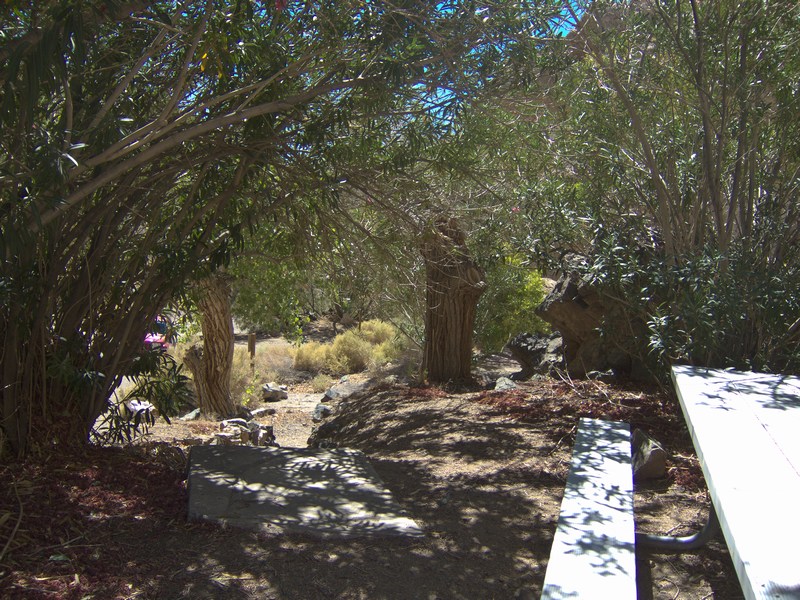
We take the Wildrose Road, and stop at the Wildrose oasis. There are palm trees and in the springtime, lots of flowers and scents. The desert creatures come here regularly for a drink. The old ranger station is long gone but the foundation and some piping remains.
It's getting very nice and warm outside. No wind, zero humidity and sunbeams. If you don't like the heat, don't even think of coming here....
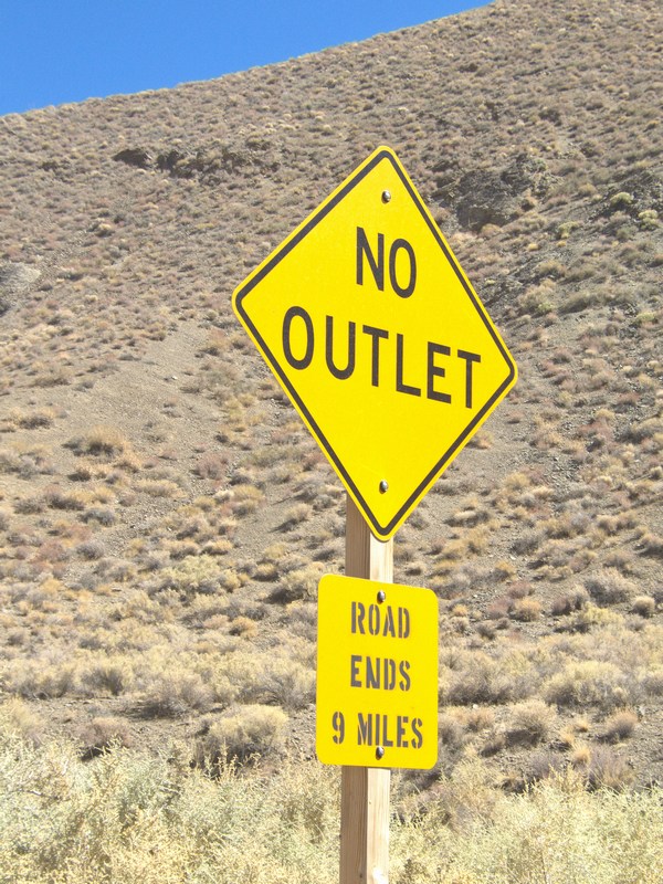
There's no escape from the steep mountain road where we may need our 4 wheel drive, and no escape from the heat (at least until 8000 feet).
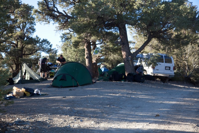
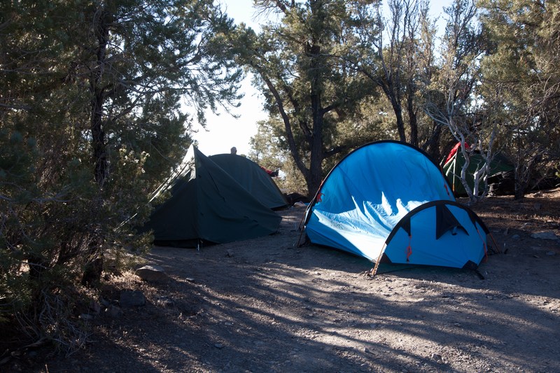
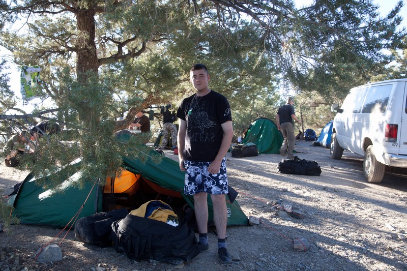
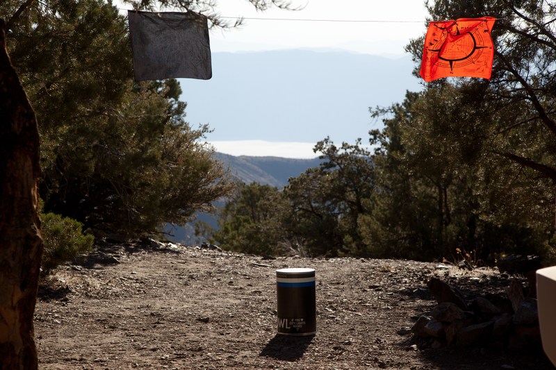
At the top we're in luck; there are a couple of campsites left. Several of the 10 are filled with multiple tents. A big group of young people are over from England for mountain backpacking as part of their military cadet training. Before they got here, they were at the Grand Canyon, and now they're heading over to Lone Pine to collect supplies before climbing Mount Whitney. For a bit more info on that hike, click here:
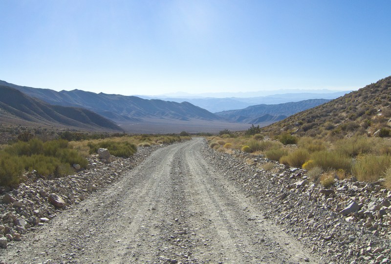
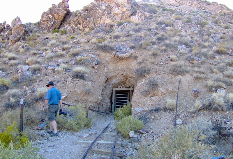
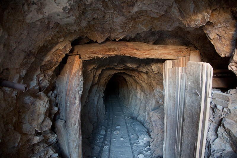
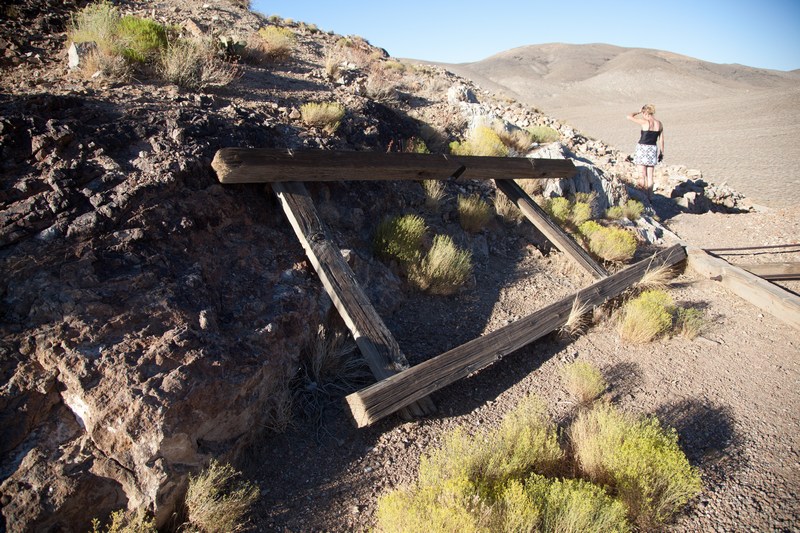
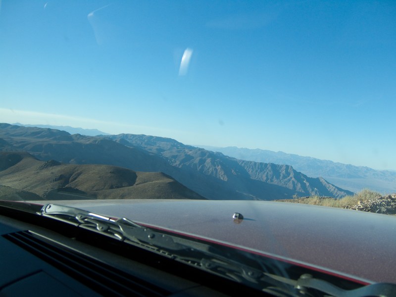
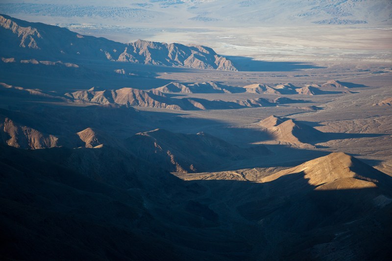
After getting the tent set up, it's down to lower elevations to do a bit of exploring. We take the Emigrant Pass route, and detour over to see the Eureka mine in the mid afternoon sun...
First it's several miles back down past the charcoal kilns to get to the turnoff.
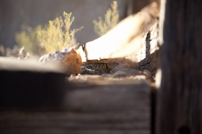
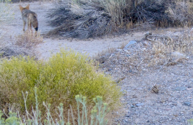
A local lizard keeps his eye on us after we unexpectedly disturb his siesta in the sun.
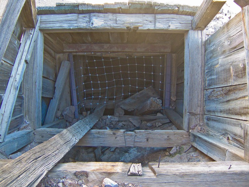
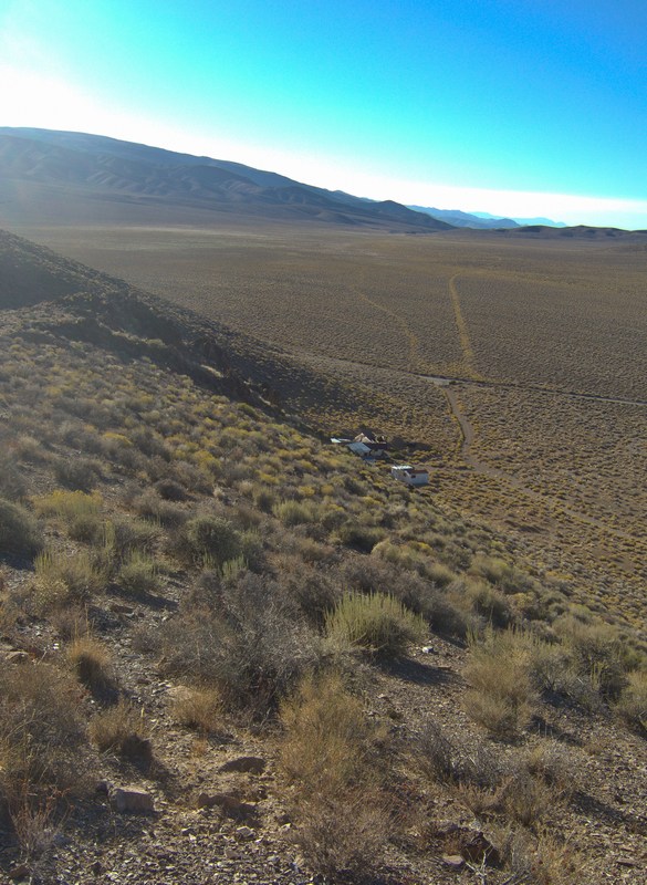
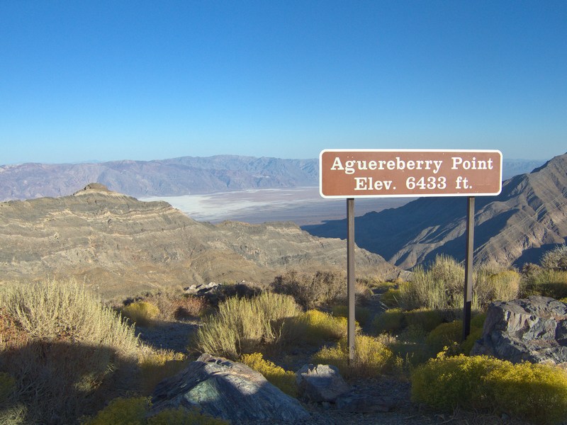
For decades Pete Aguereberry worked this mine by himself and lived in the buildings below on Harris flat. He often went exploring, and we're heading to one of his favorite places several miles away, now officially called Aguereberry Point.
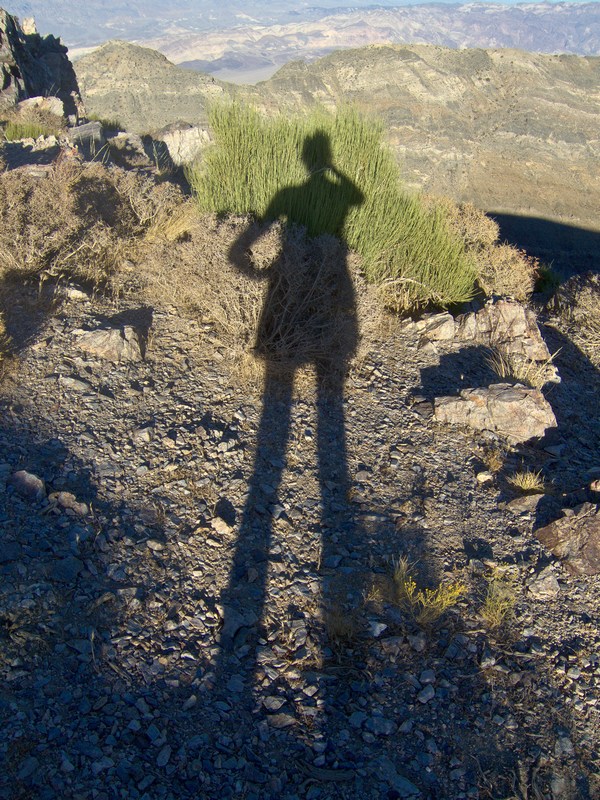
Climbing up the last stretch to the point.
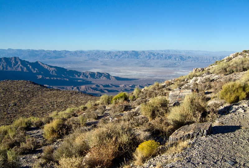
Watching the beginnings of a mountain sunset from Aguereberry Point while enjoying hot Miso Soup cooked on the primus.
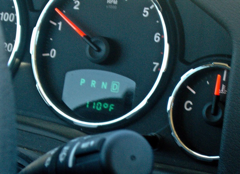
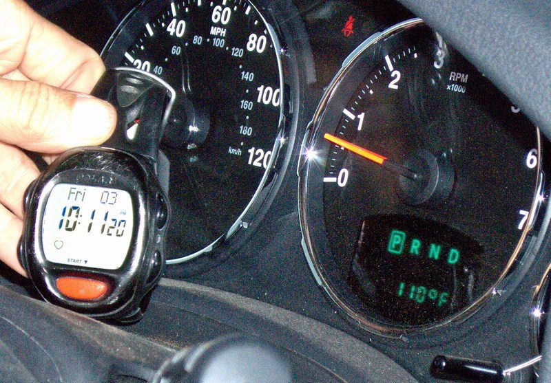
Still having time before dark, we head back out on the Emigrant Pass road and take the 190 down to Stovepipe Wells. As we descend from the mountains the temperature keeps inching up. At 10 p.m. East Coast Time the gauge hits 110 Fahrenheit. Tomorrow will probably be a pretty hot day as well...
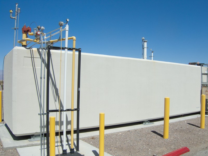
Arriving at Stovepipe Wells for gas.
The above-ground gas tank. Several years ago the station was closed for months while they dug out the old tanks and put this one in. In the desert it's always a good idea to top up- even if your gauge shows 3/4 full - because you never know if that distant station has gas or not.
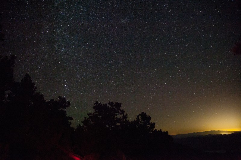
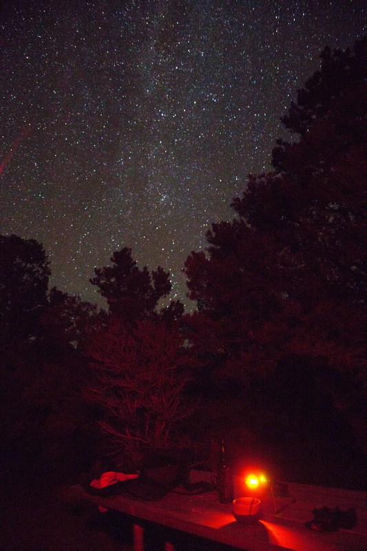
A time exposure with the distant glow of Las Vegas more than a hundred miles away.
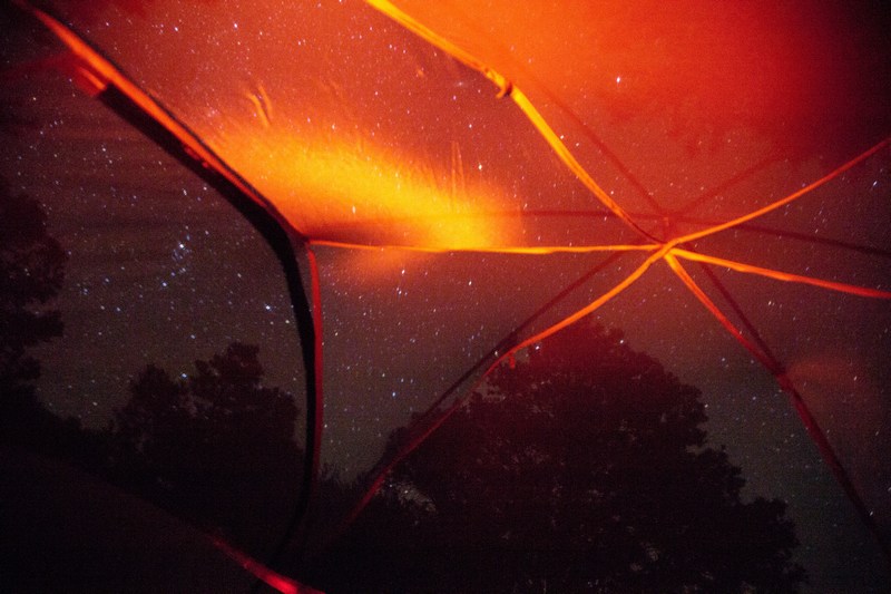
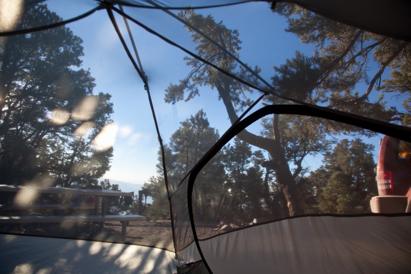
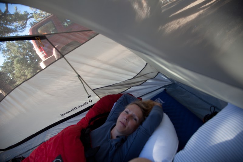
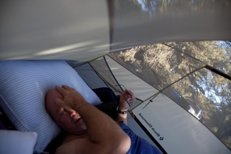
The view from inside the tent that night.
I strung an antenna wire between the trees and we listened to the amateur radio bands coming in from distant countries.
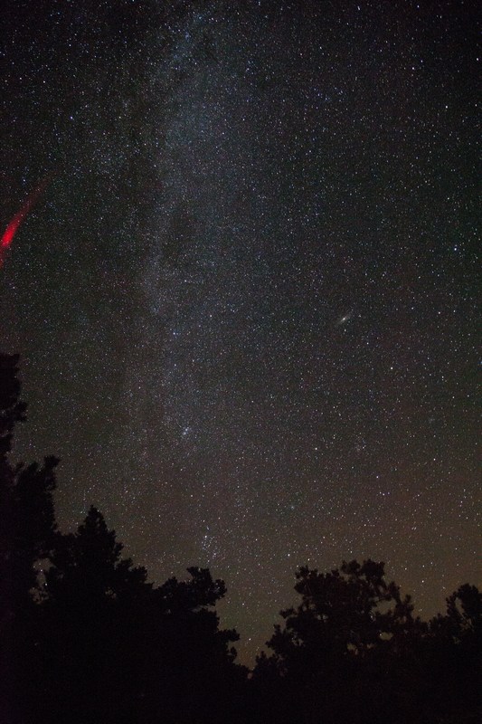
The Milky Way from 8000 feet in the desert.
Rise and shine the next morning.
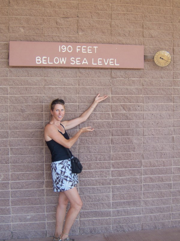
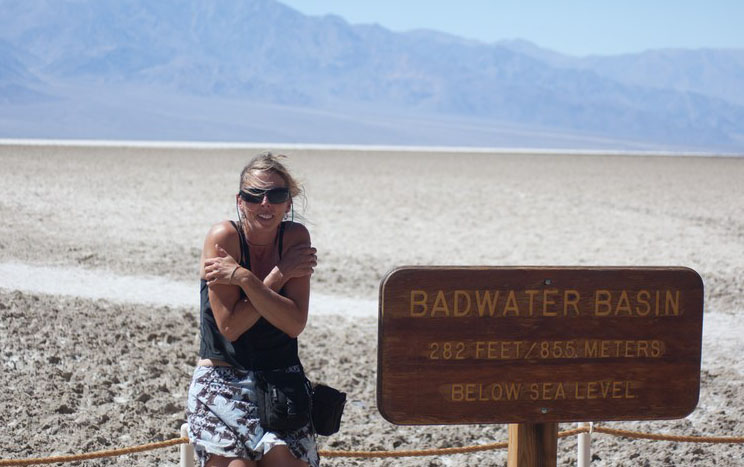
After a great breakfast we pack up our stuff and head into the valley proper - Furnace Creek, the Harmony Borax Works, and Badwater. Badwater is the lowest point in North America at -282 feet.
190 and 110 at Furnace Creek
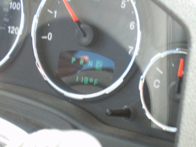
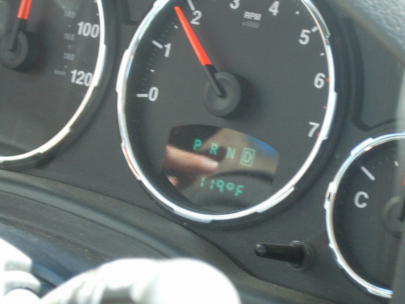
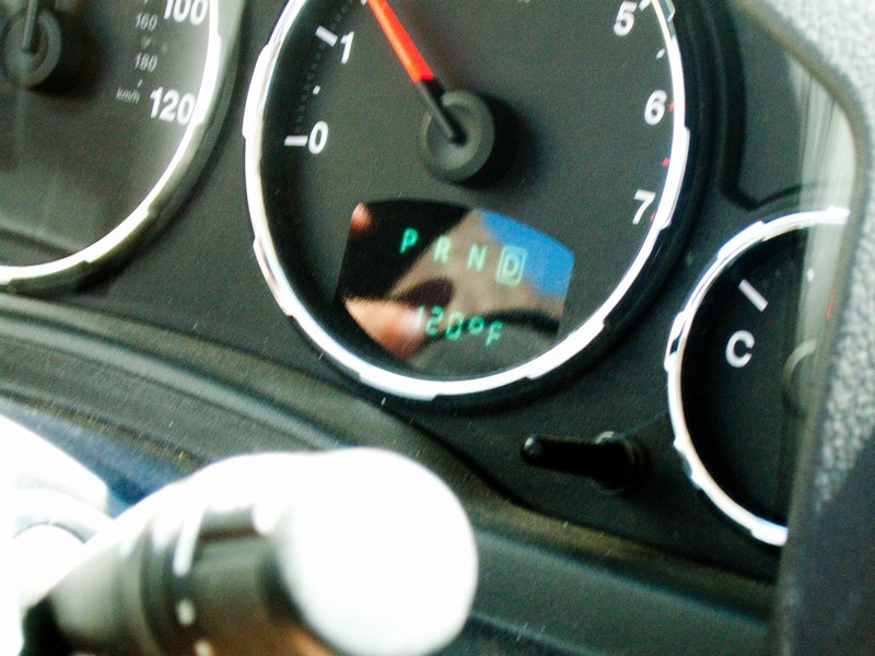
Now we're approaching Badwater. The wind is picking up, and it's hot - but it's a "dry heat"!
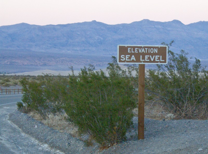
There we go. Miles of hot salt flats, 282 feet below sea level, and a 40 mph dry wind of 120 Fahrenheit. Winter? Fahgetaboutit.
We've been in the city, the mountains, the Big Trees, and the desert... so now it's time to head for the Pacific coast and some beachfront camping.