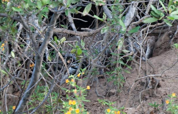
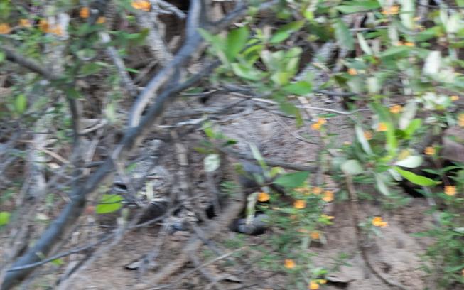
Two minutes later it's a different story. I see this scraggly creature blurring across the road as I come round a hairpin corner, then wiggling its way under some brush up the slope. It's a wildcat, a bobcat actually. Not a cougar. He didn't much like being watched and he kept his eyes on me while I tried to wait him out for a better shot. Blurry is better than nothing though! And he blends in pretty good.
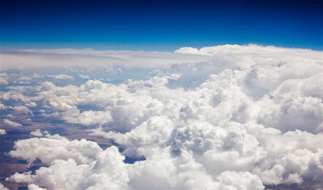
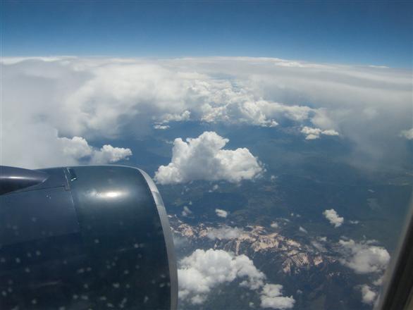
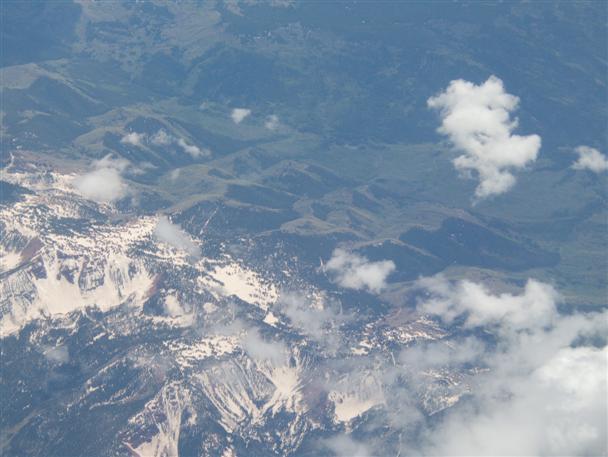
Departure day arrives and it's the usual airplane story. With a gorgeous sunny morning, I manage to click a pic through the window down at the Greenbelt and Ottawa's west end. Then the clouds close up and that's that. The cloud theme will have a decisive effect on the photography this trip as we will learn soon.
Later on the skies break up a bit, long enough to catch the vanguard of a Big Weather front moving eastward.
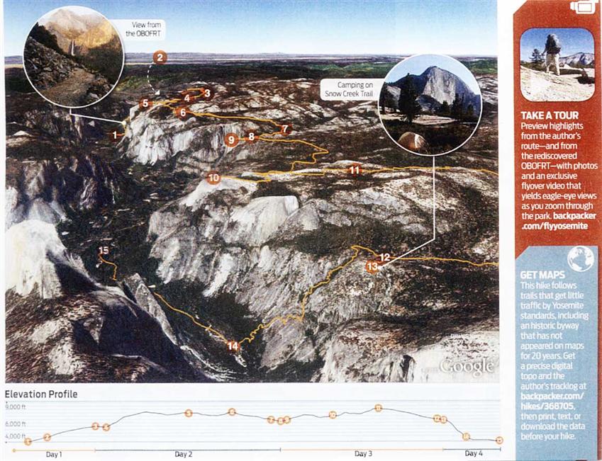
This time my friend Dave and I had planned to do a Yosemite hike following an old trail. Having learned from experience, we made plans early (December-ish) and got our backcountry permit months in advance. For some time we had been looking at the Old Big Oak Flat Road Trail, which was an early way that stagecoaches made their way down to the floor.
Our plan was to start east of El Capitan, follow that trail up to the top, then walk basically along the rim over to El Capitan, thence past Yosemite Falls, over to North Dome, up Indian Ridge, and then return to the valley by the Snow Creek Trail via Mirror Lake and the Tenaya Canyon.
A few years ago I'd been on the northern extremity of Indian Ridge and would've taken Snow Creek back down, but even though North Dome and the south facing slopes were bare and dry, the northern section had so much snow that spring that I would've been post-holing much of the way. So that didn't happen. Now was time to think about coming down that way, since it offers breathtaking views, especially of Cloud's Rest and Half Dome, both of which have been seen looking the other way on past backpacking excursions.
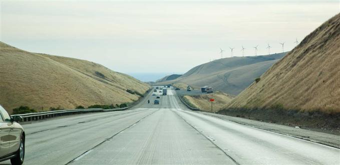
The next morning we head out on the 680 up over Mission Pass (the Sunol Grade) then through Pleasanton.
Landing in San Francisco, we head again to a favorite motel in Fremont, on the other side of the bay. It's a great place because: this Motel 6 is well priced, clean and quiet...it's right next to the 680 so it's easy to get out of town and over the Sunol Grade without traffic jams....it's nearby to large stores and food....it's 5 minutes away from the REI backpacking store....it's five minutes from some of the best sushi in the east bay....it's five minutes from the Mission Peak Preserve and the hiking trails...and on the return trip, it's 5 minutes from the 880 which can take us jiffy-quick up to Oakland, Berkeley and the Bay Bridge. What's not to like?
Feeling ambitious in the evening, I take the road that climbs up into the hills and winds its way along the backslope (away from Fremont) and eventually comes out at Andrade Road midway across the Sunol Grade. It's was a clear sunny and warm evening and some neat wildlife pics emerged .
After a few minutes he's gone, and so am I.
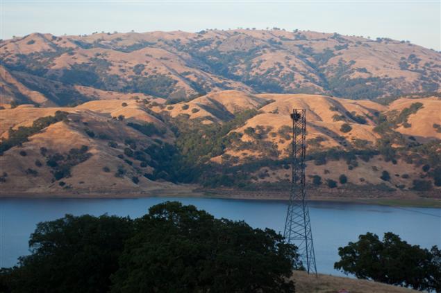
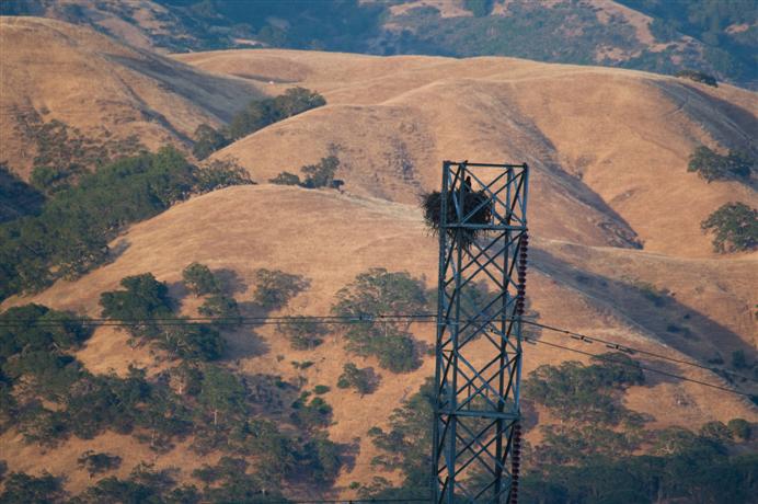
Around another corner is the reservoir, and a well positioned nest. Its good-sized homeowner also keeps a good eye on me. I guess they're not used to cars stopping and turning the engine off.
Getting near sunset, it's time to get back. Driving hairpin mountain turns at night is best done slowly.
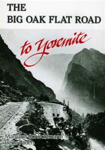
Back in the 1930's a section of the trail had been wiped out by rockslides, and it was never reopened. A well written book, "The Big Oak Flat Road" lays out the history and intrigue surrounding this construction, and from that story came the thinking to follow that long-lost and practically unknown trail.
The rockslides obliterated the very switchbacks you see in this old photo.
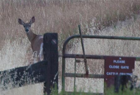
First of all, a deer with lots of curiousity. It looked back at me several times as it made its way up into the hills after a pretty slow sidle off the road as I approached.
We need to get supplies before we eventually head out, so REI gets a visit for our backpacking supplies, and then to Safeway for food. It's been 12 years since living here but my Safeway club discount card still works to give us some 50% discounts, all because I still know my home phone number linked to the card!
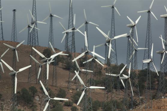
The Altamont Pass has been the home of early wind power for many years.
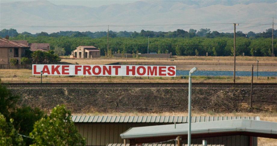
There's lots of demand for housing out past Tracy in the Central Valley. The thought of water in a "lake" is very appealing I guess, and it even comes with a fence.... The language of Real Estate agents is truly abberant..,.and the architecture! How to make a home look like a barn, or worse yet, a 5 stall Ladies' and Mens' restroom in a State Park.
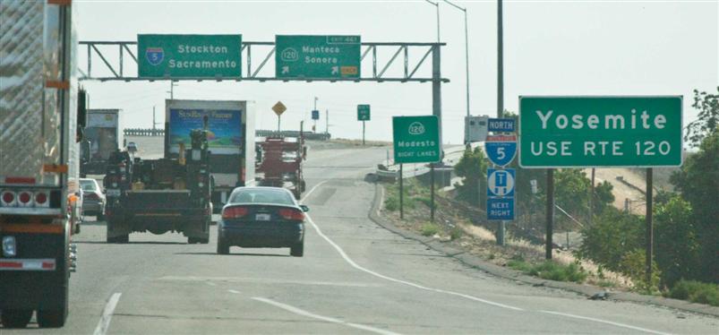
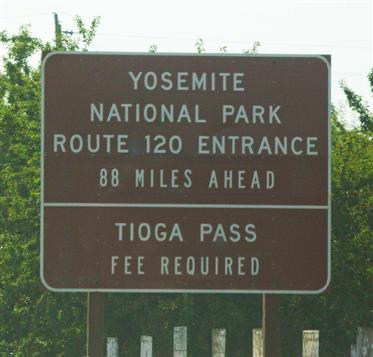
Soon we get onto Route 120 and start the long haul across the flats of the Central Valley.
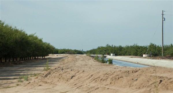
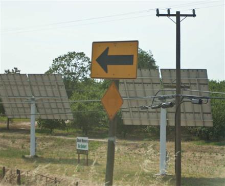
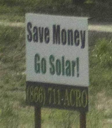
The irrigation canals are vital for the crops running the full 400 odd miles up and down the valley. This year, there is talk of cutting the water allocation available to the almond groves, and this is expected to end that cash crop. Meanwhile, with all the sun, anywhere that doesn't get shaded, can get panelled instead. "Save money. Go Solar."
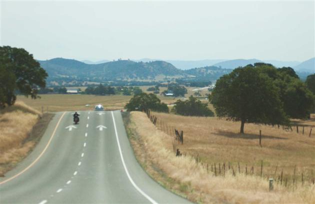
Eventually the rolling foothills begin, leading to gradual elevation gain and forests.
The road from the foothills, past Knight's Ferry, up the Priest Grade, through Groveland and into the Sierra forests is gorgeous and builds excitement for the eventual appearance of the big trees and the hints of gargantuan canyons and chiselled peaks as we get close to YNP.
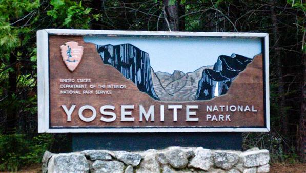
The 2009 California Backpacking and Exploration Trip
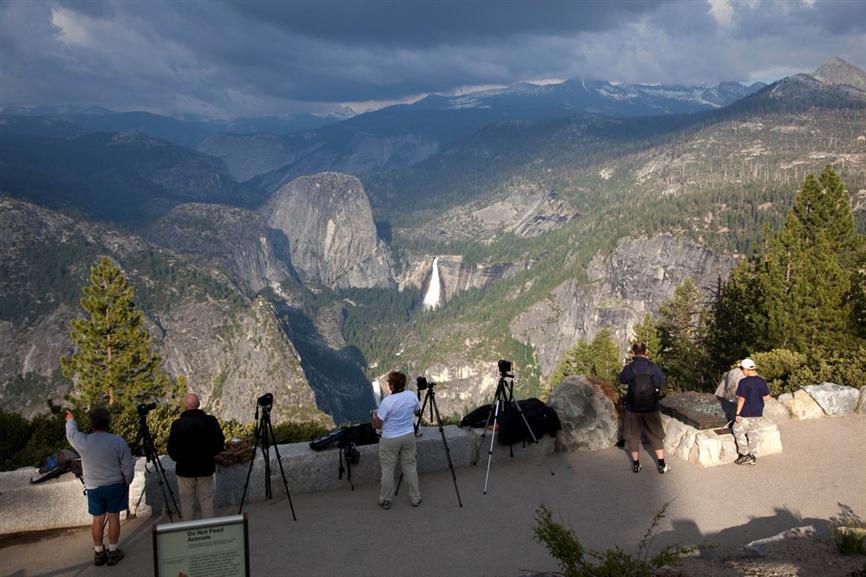
After we get settled in our North Pines campsite, it looks as if the weather is quite varied. Going up to Glacier Point might give us some good photos.
Looking up to the point from the campgrounds, it's a long way up, but you'd think it would be a pretty quick drive to get there. Actually it takes more than an hour.
Just before reaching the actual point, there is a pulloff. Talk about ominous clouds and dark colors. Somebody out there is getting a whole lot of something wet.
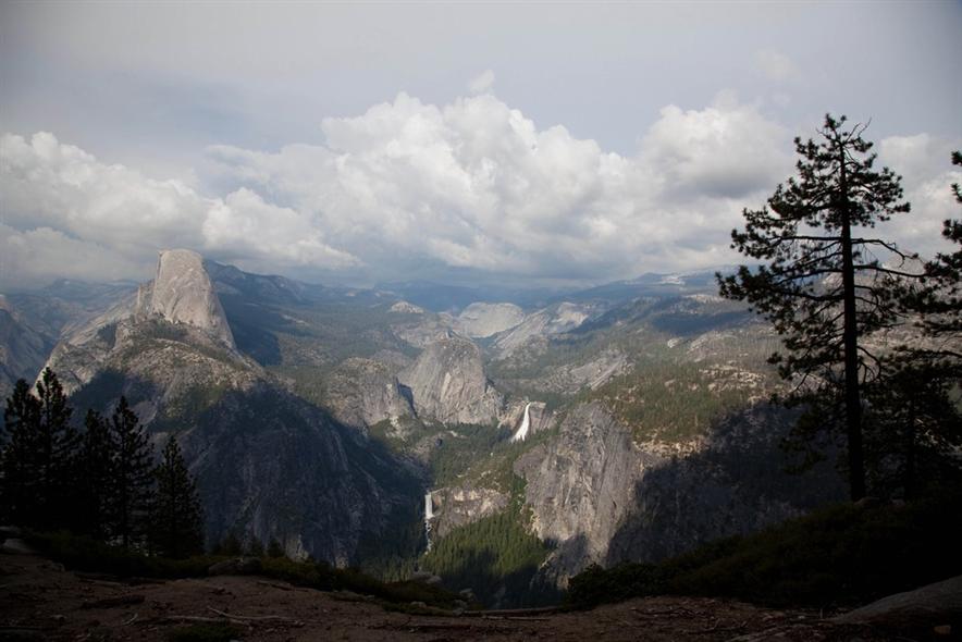
After about half an hour we keep going to the parking lot at Glacier Point and it's already getting brighter. Arriving just before the small store closes, it's just enough time for Dave to buy us some food and a drink. Then it's time for a picture.
From up here, it's hard to estimate how long it takes to hike up to Nevada Fall from the camp, or how tall these falls really are. Anyway, now it's time to head back down and get set up for the morning.