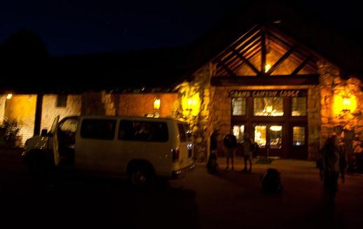
A gritty snapshot of the shuttlebus at 5:15 a.m.
Up at 4 something, everything gets packed 'cause everything we brought to the North Rim yesterday has to fit into backpacks. The shuttlebus has to make two trips because there are additional hikers that hadn't made a reservation.
At the North Kaibab trailhead, we start the pitch-black hike down with headlamps in the cool morning air. It's going to get hot soon enough.
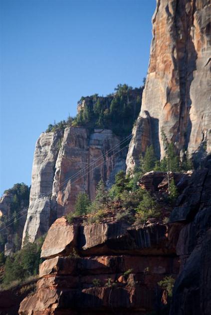
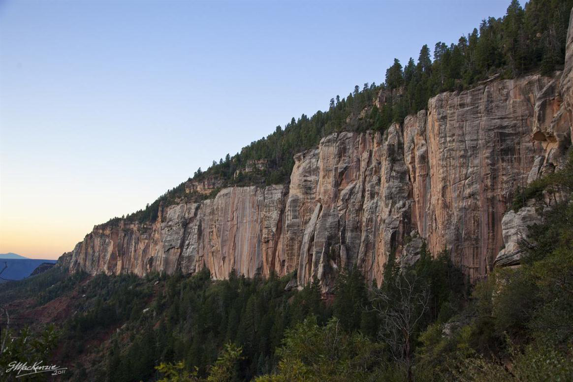
When the sun rises, I can feel the beginning of reflected heat off the cliffs, and the cool wind starts to subside.
It takes about an hour from the trailhead to reach the Supai tunnel, with its running water, composting outhouse and good views. The water is on, but you never know if a rockfall breaks the pipe leaving some people without adequate supplies.
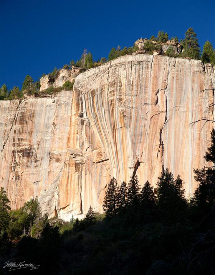
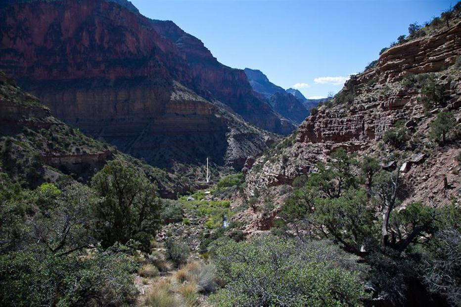
A sunrise view from just below the Supai tunnel. With stops for photos, it takes about an hour to get to the bridge from here. It won't be deep in the shadows for much longer this morning.
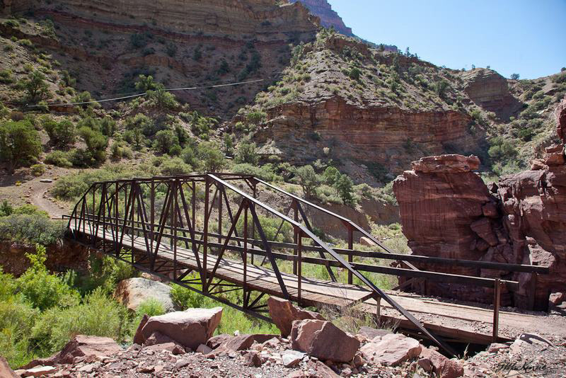
A telephoto view of the bridge far below.
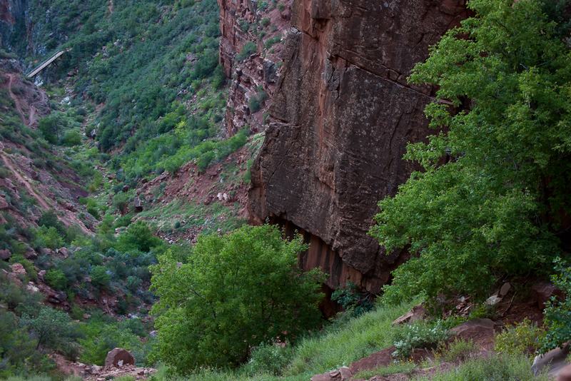
An hour after the bridge, I'm approaching the Roaring Springs pumphouse. There's a trail just above it that backtracks with a few hundred yards of switchbacks down to the stream and a shady picnic area for lunch. Dave is already there and enjoying the cool shade. It's a hot day, and getting hotter.
The pumphouse itself is just visible as a small rectangle off in the distance. Neither the trail to lunch at the Roaring Springs picnic area, nor the main trail continuing to Cottonwood campground go past the buildings, but stay about a hundred feet above them on the hillside.
After lunch, it's back up the switchback segment to the main trail, and then continue down towards Cottonwood. There's hardly a cloud in the sky.
Now the hiking is pretty much in full sun all the way to the campground. SPF 30 and lots of water every hour.
In addition to carrying 6 liters of water, I have a bottle sprayer that I use to soak my wicking shirt, and an absorbent bandanna round my neck. It's still hot, even going downhill.
Some notes about water...it weighs 1 kilogram per liter (about 2.2 pounds per quart). In high heat you can easily drink a liter per hour, sometimes two. Not only that, but if the old waterline pipe snaking its way down across the canyon should break, then you need a Plan B- for life or death, you can't just rely on that water being available. In our case, we carry a water purifier, so a slog down off the trail to the creek or a seep would suffice in an emergency.
The lines you see on the far side of the bridge are the remnants of old telegraph lines down to Phantom Ranch. In some places they're pretty much intact, but in the steep canyon areas, they've been pummeled by rockfall. As the saying goes "The Lines are Down".
At 2 o'clock I finally arrive at Cottonwood. After a snack and some unpacking I take a picture.
It's a bit tricky finding shade, but there's enough shade for Dave next to a tall bush, and I cover up with a white bag liner and stretch out for an hour or so.
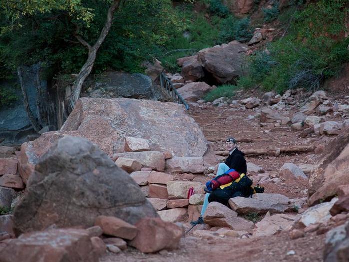
Dave takes a breather while I enjoy having the pack off for a moment or two.
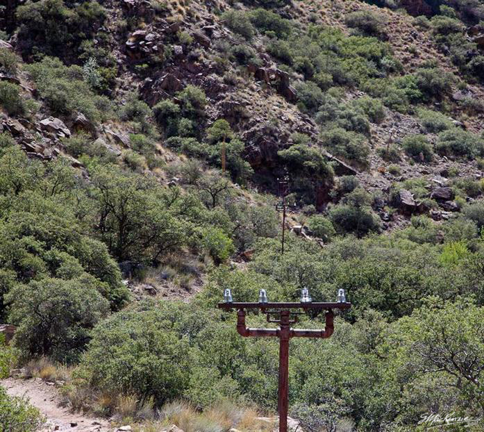
High voltage power lines gleam in the sunlight. These lines go straight down to the Roaring Springs pumping station far below. The mountain spring supplies drinking water to the North Rim, the South Rim and the campgrounds via the "Transcanyon Water System"
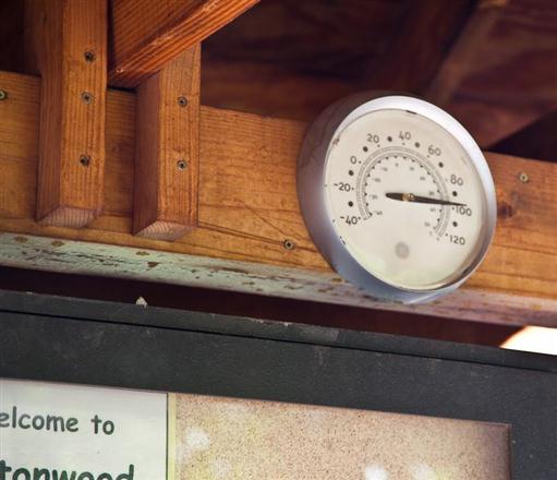
Coming out of the sun, a little bit of shade feels downright cool by comparison. The thermometer reminds me everything is relative.
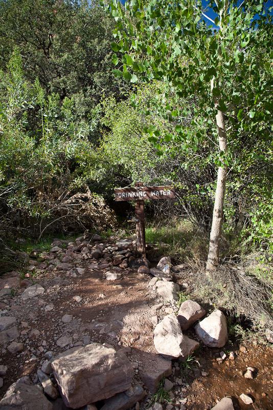
The tap that can make all the difference!
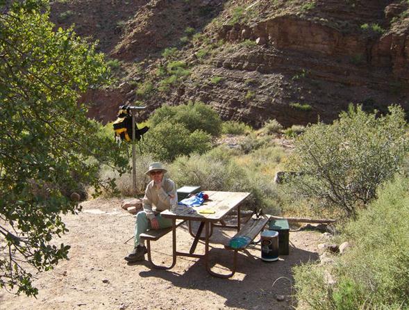
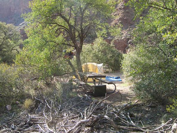
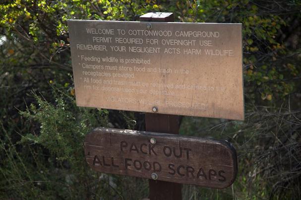
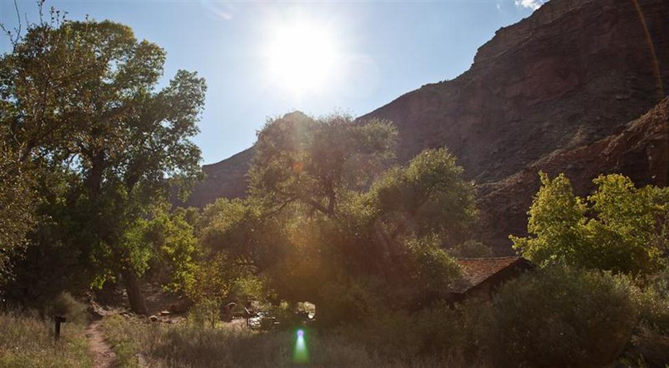
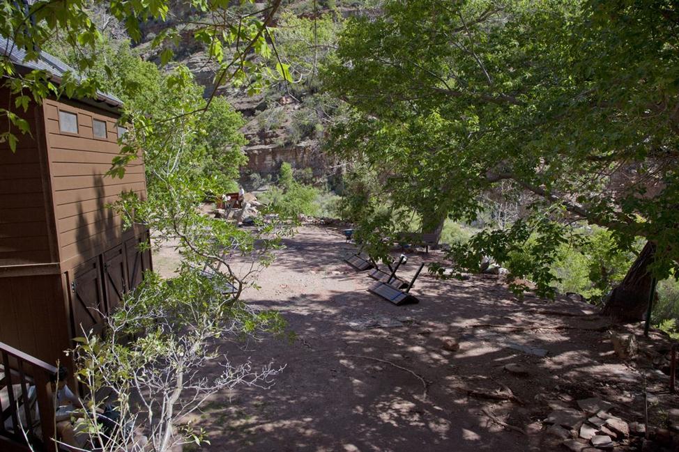
Surrounded by trees, and near the water, the quasi-Ranger Station that serves as a shady place with picnic table for get togethers.
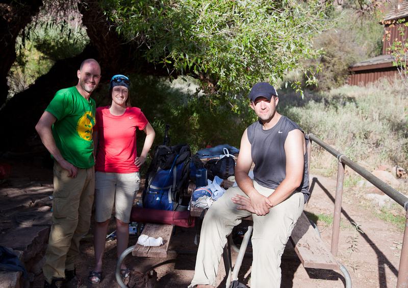
Here I met three avid hikers, Scott and Marise from New Brunswick, and their friend John from Las Vegas. We got talking about hiking (of course) and we end up chatting about Gatineau Park, just outside of Ottawa. Turns out that Marise used to live here and loved the Gatineau Hills for hiking. Perhaps someday the Gatineaus will get another visit!
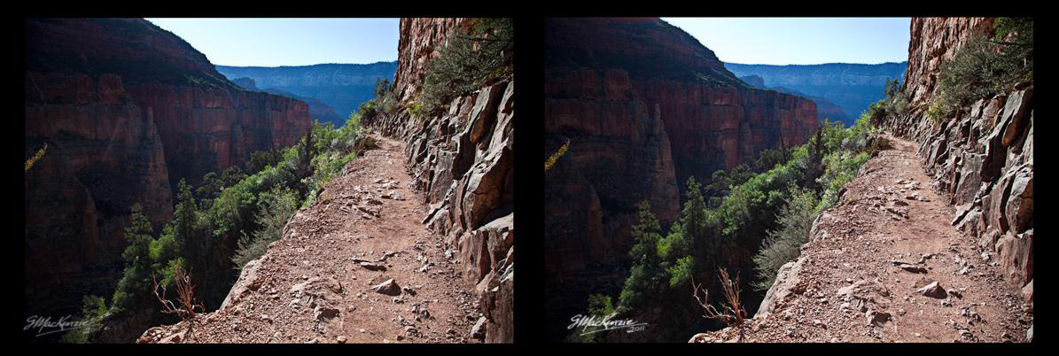
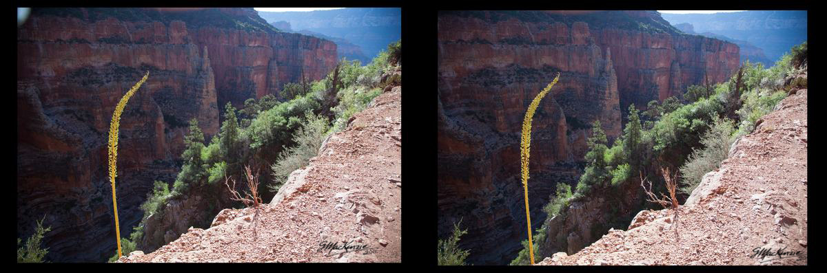
Wanna get an idea what the trail looks like in 3D? Cross your eyes and practice until you can see a third image forming in the middle. After a few seconds it might jump into a stereo picture... so you can see the steep wall on the right, and the big dropoff to your left.
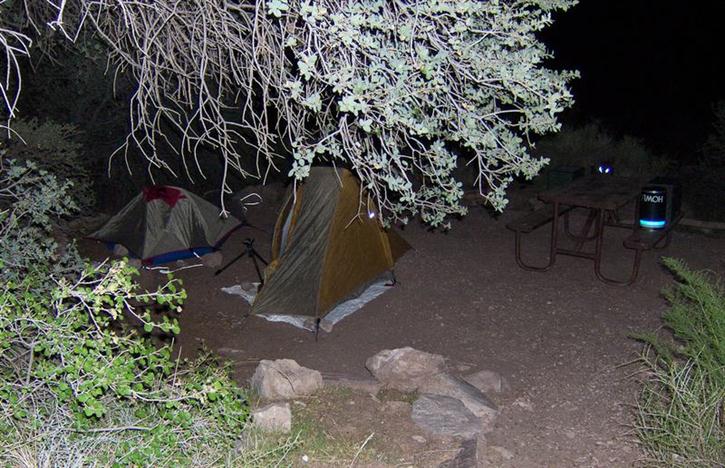
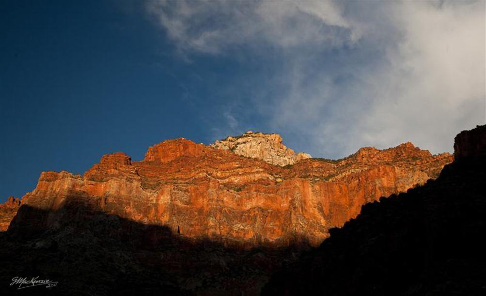
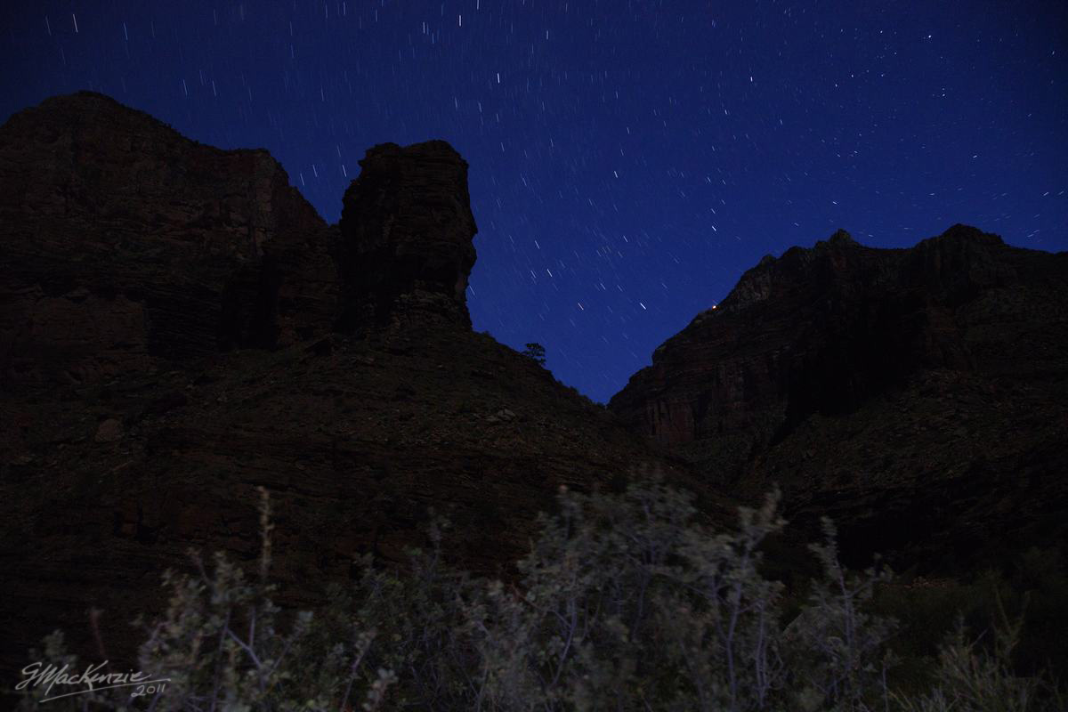
Nice landscape colors as the sun goes down. All the food gets packed away, the tents are set up and now I'm waiting for the stars to come out.
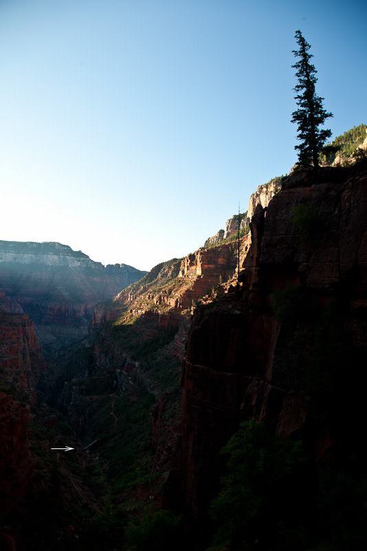
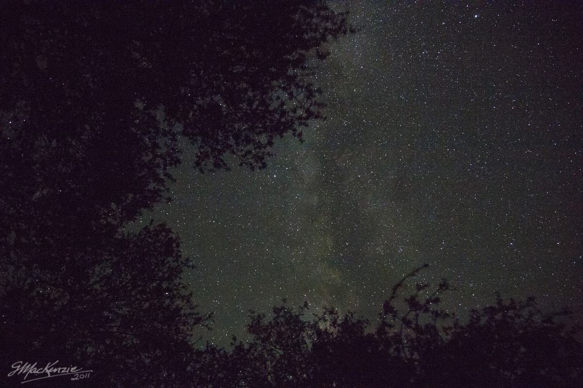
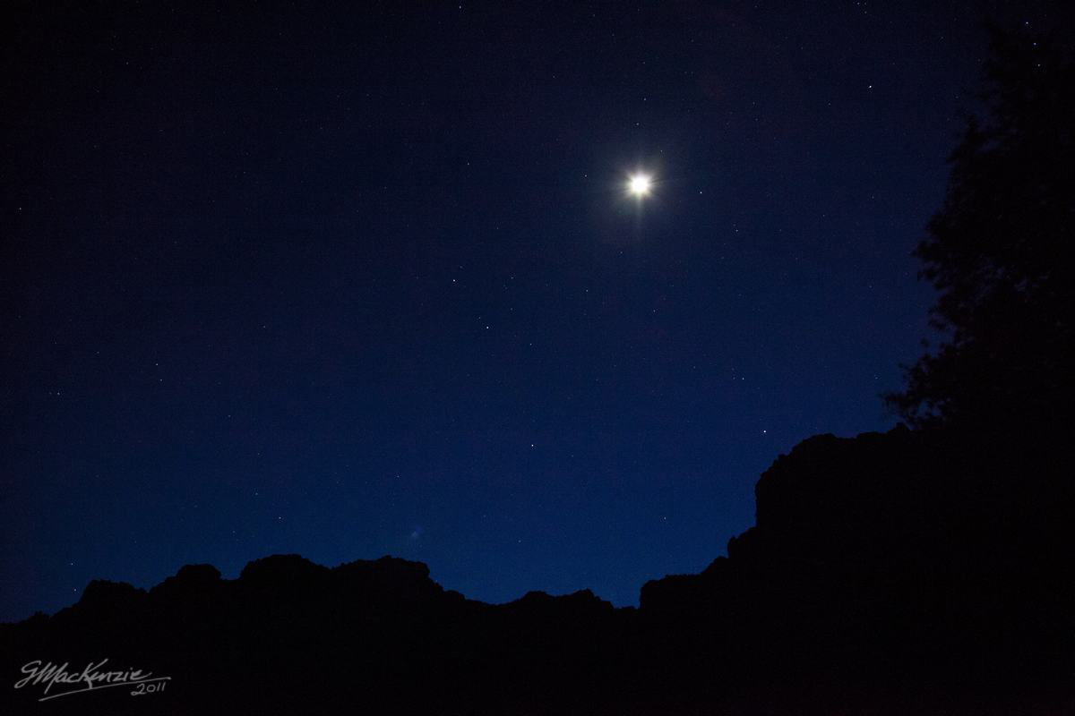
Early morning sky, before hitting the trail.
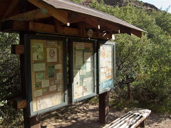
After passing above the Roaring Springs pumphouse, the trail starts heading down Bright Angel Canyon for the long run to Cottonwood and Phantom. A short way down the trail there's lots going on to upgrade the old pumphouse operator's homestead into a rest station. The benches are going in as well as a sturdy steel noticeboard, recently flown in by helicopter. The cold water tap is a great place to fill bottles and soak my shirt yet again.