Coral Pink, Pipe Spring and The Grand Canyon
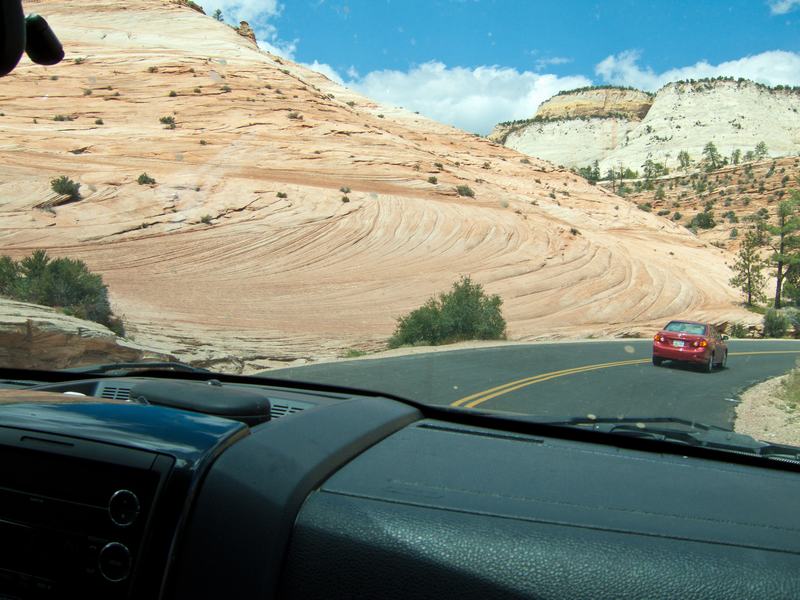
Leaving Zion via the Mt. Carmel Tunnel and entering a different world...
The Mt. Carmel tunnel is a mile long and takes you through to petrified sand dunes that rise in all form of fabulous shapes and textures.
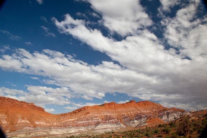
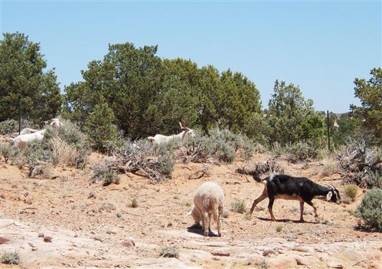
Still in the high desert, the land transitions from several miles of these sandstone sculptures to rolling fields and grazing pastureland.
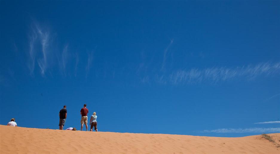
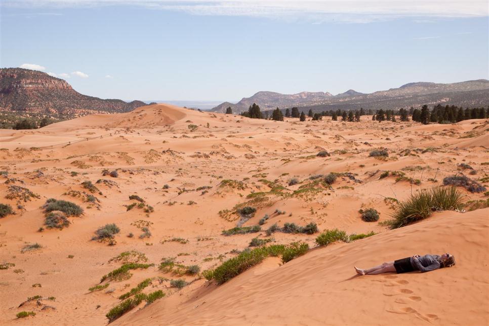
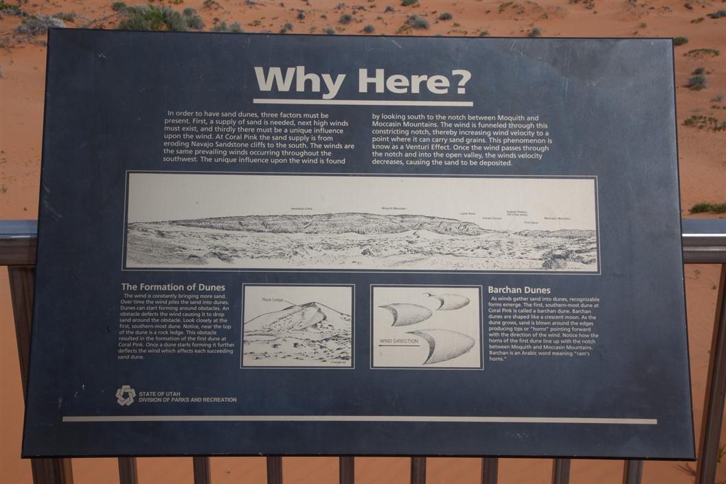
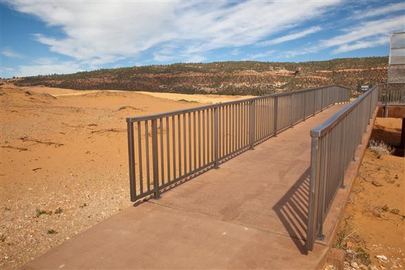
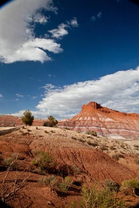
Coral Pink Sand Dunes State Park was formed when sand eroded from mesas upwind were blown through a gap in the hills and deposited here.
Sun and warm sand and no humidity
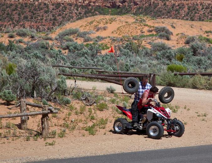
The dunes are a mixed use area, and dune buggies are allowed. Here's a guy about to do a bumpy balancing act as they head out over the dunes for a repair job!
This is a small machine. Wait till you see the picture following....
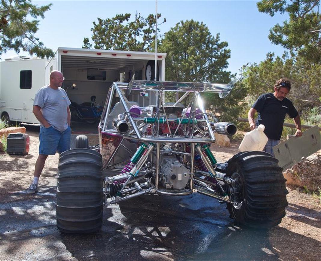
A Clean Machine. Now that's a Dune Buggy
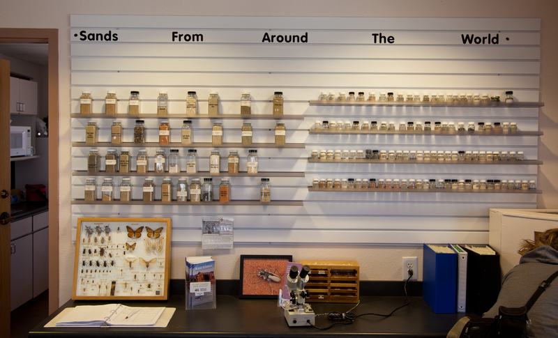
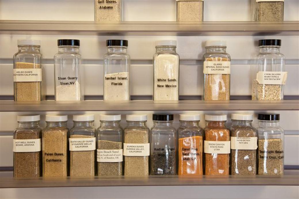
People from all around the world send samples of their sand for display at Coral Pink. Do you have an unusual sample you could send?
Here are some samples of local sands, excepting the one from Raro Tonga of course.
Note the exceptional color of the coral pink sand.
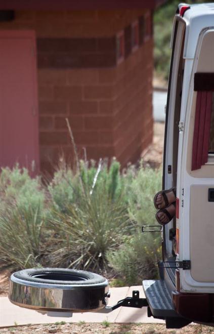
Having a midafternoon siesta
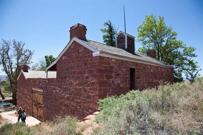
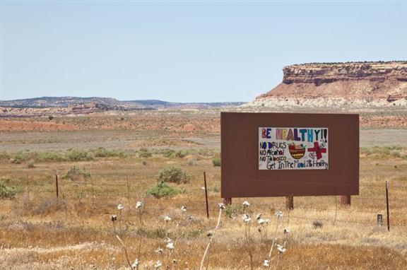
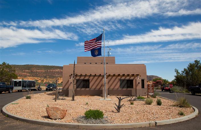
A little bit further east and south from Zion towards the Grand Canyon is Pipe Spring National Monument on Highway 389.
It was settlement of Mormons who raised cattle as a tithe herd for the church. A plentiful spring is piped into a trough running through the cellar to keep food cold.
The main building was called Winsor Castle, and has been preserved for future generations.
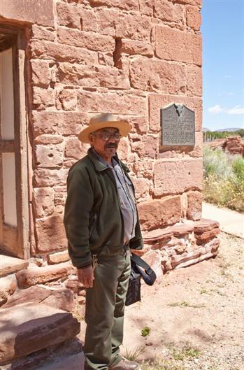
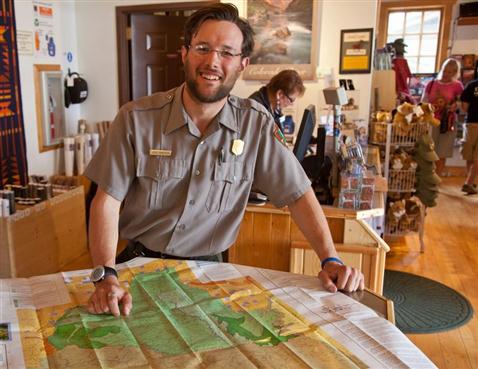
We were very fortunate to be given an excellent tour by Benjamin Pikyavit, a Ranger with the Park Service at Pipe Spring. He told us much about the history in a knowledgeable way, and we had a most enjoyable conversation over almost two hours. Thank you Benjamin.
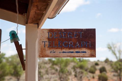
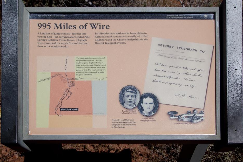
In order to set up communications with the church offices in St. George, an early telegraph line was set up. That was a huge undertaking just by itself.
We continue to follow the 389 into Fredonia, and then head south on the 89A toward the North Rim of the Grand Canyon.
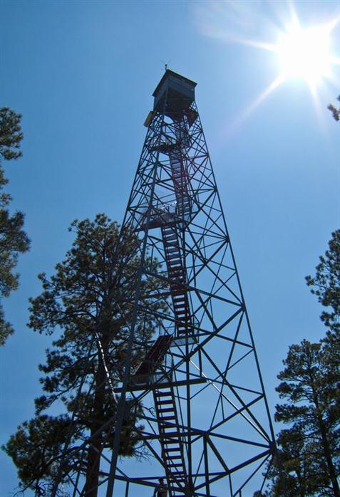
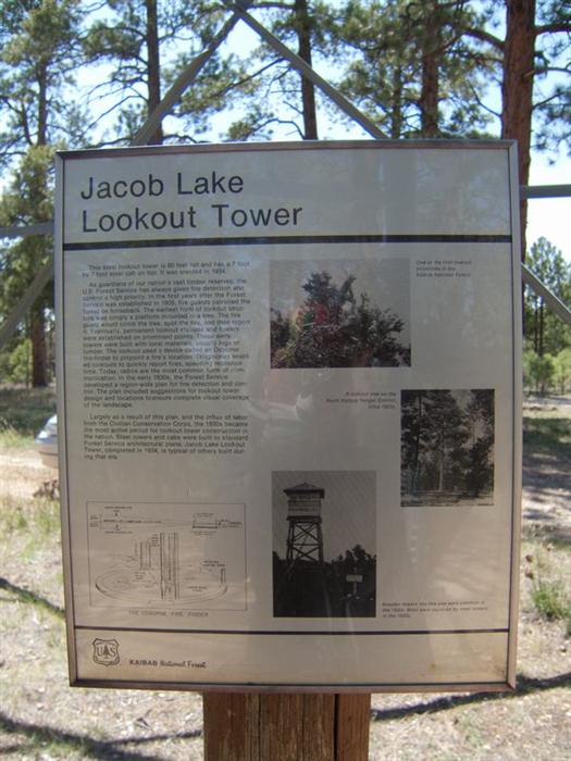
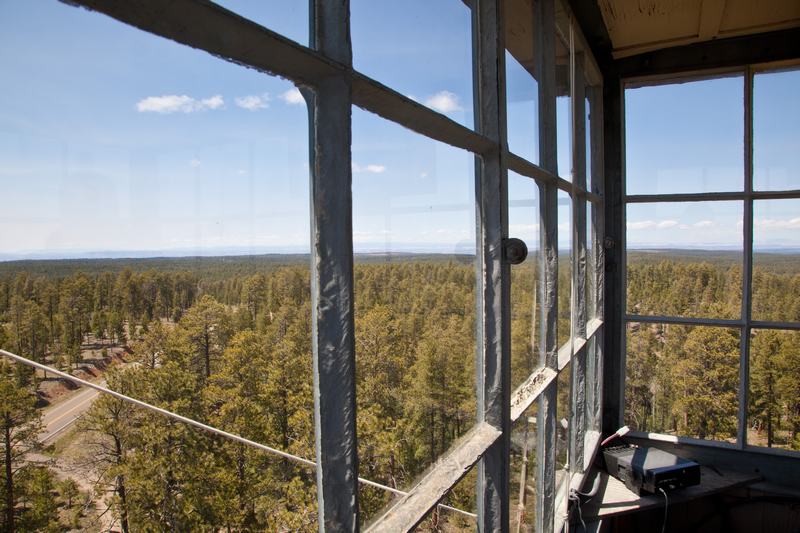
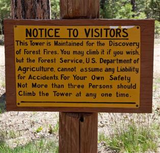
At Jacob Lake, it's impossible to resist a climb up the Fire Tower. For over 10 years, Mark has worked the tower and provided interesting tours for climb-up visitors.
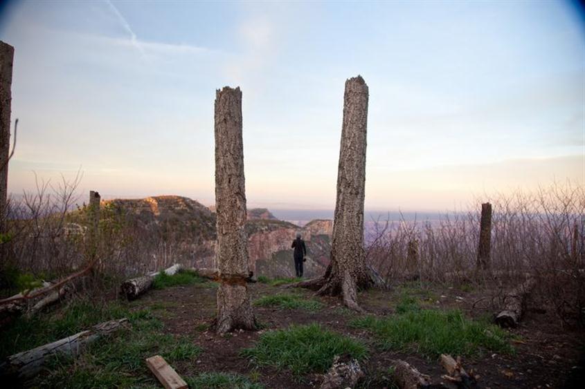
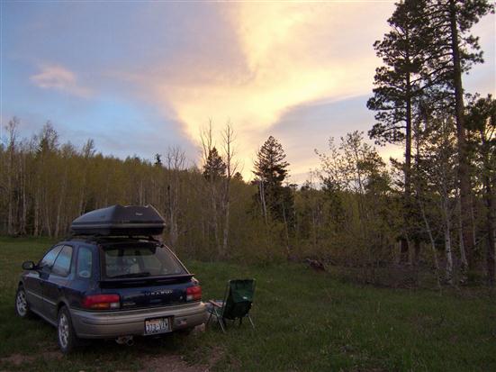
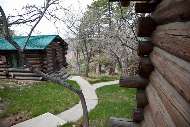
We managed to reserve a pioneer cabin at the North Rim. After settling in we walked to a lookout nearby.
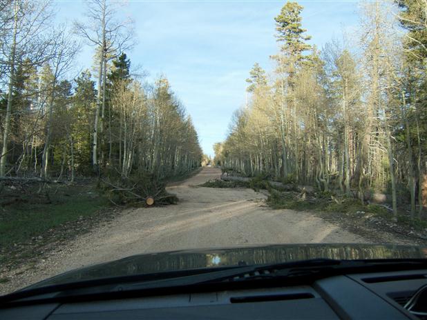
On my trip here last year, I went for a drive out of the park, and found a dirt road through BLM land (Bureau of Land Managment) leading to the Saddle Mountain trailhead going down into the canyon. It was a great spot, so Jackie and I headed out in late afternoon to visit it.
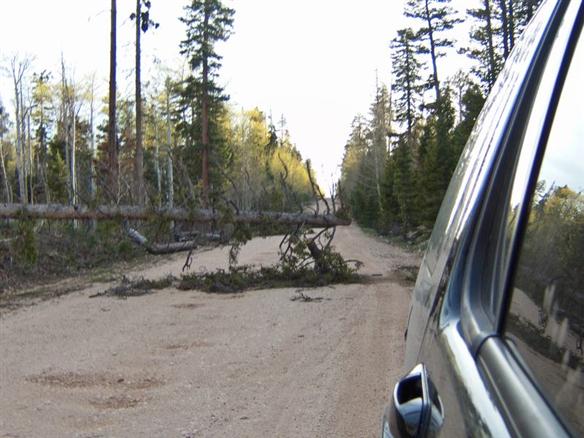
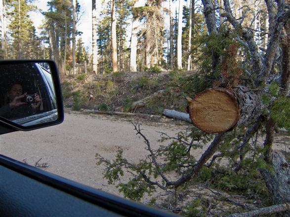
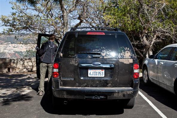
There had been some heavy winds, and in many places the road had been blocked by fallen trees. Somebody with a chain saw had made enough room for an SUV to get through.
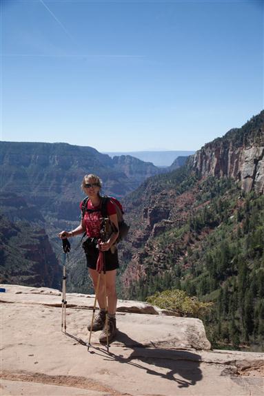
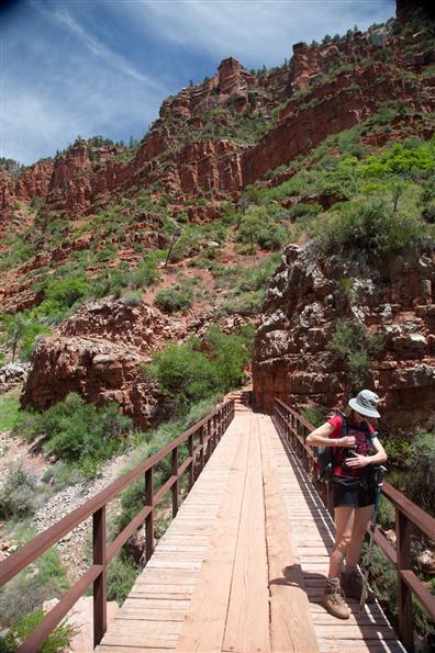
The following morning we set out down the North Kaibab trail for a good day of hiking under clear skies. Our plan was to make towards Roaring Springs and then come back up later in the day.
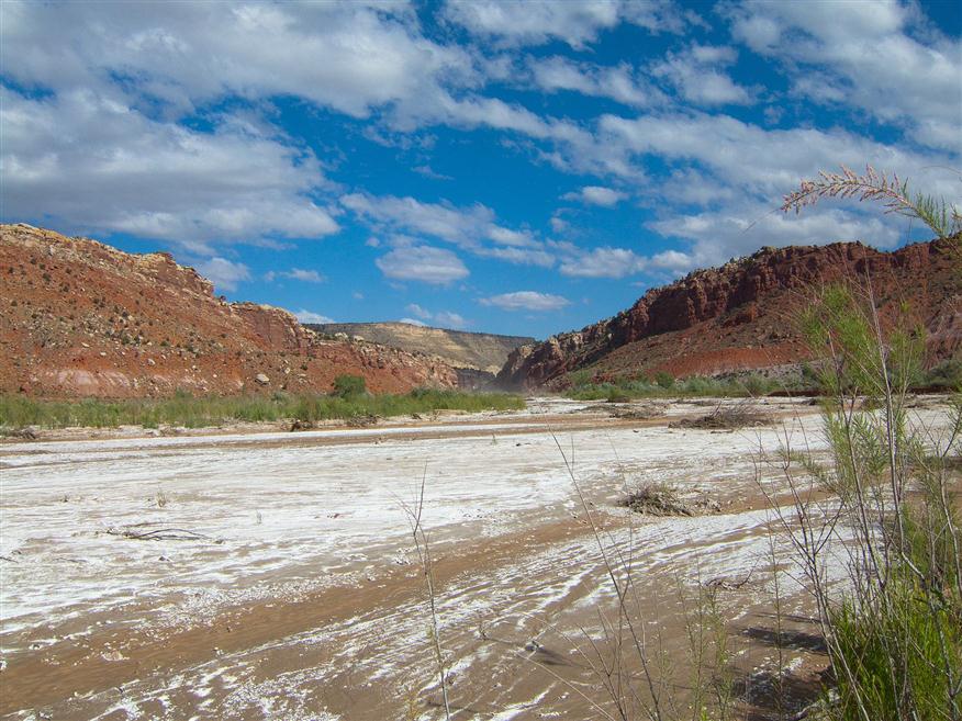
On our way from Zion over to Page, by way of the Grand Canyon, we also took a side trip to the Paria Canyon, and made our way down to the bottom. Pretty clearly there had been lots of water levelling things out not too long ago, and we soon found ourselves at a wash not worth crossing. The scenery was as good as I remember it from many years ago.
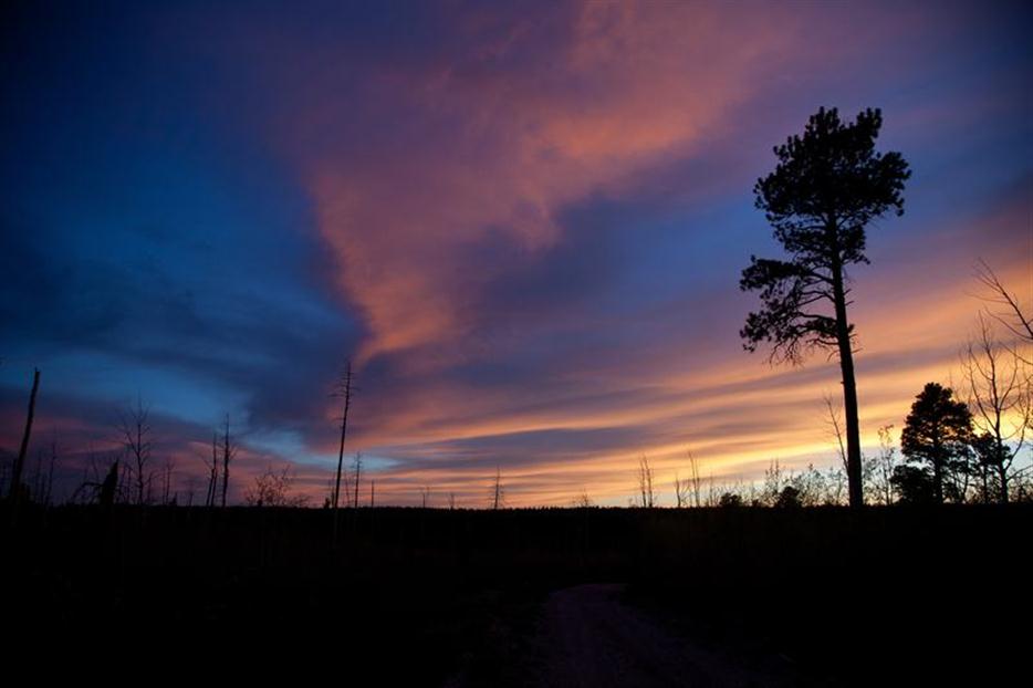
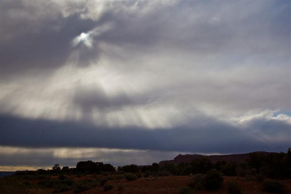
Always keep your eye on the weather in the desert. A few minutes (less than 10) after we had driven back out to the top, the sky looked like this...
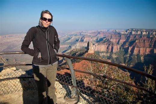
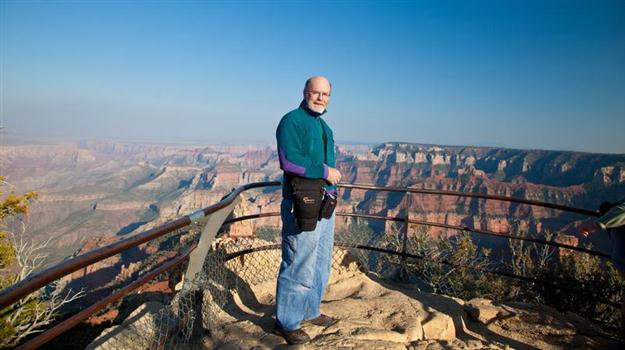
By mid-afternoon we had arrived at the North Rim of the Grand Canyon.
It takes a while to get back to the park along the dirt roads, so it was close to 9 o'clock as we passed the North Kaibab trailhead. In the headlights, we saw a couple of bulky shapes waving hiking sticks in the air almost as semaphores. Turing around, we met 4 hikers who had just made it up the trail after a full day crossing from the South Rim. They were pretty tired and appreciated help easing them int ot he car. We had to make two trips because of all the stuff in the back, but everone got to the lodge a few minutes later. Although it was tough to walk, one of them was looking forward to a cold beer in the bar. That's what I would do after such a brutal day.
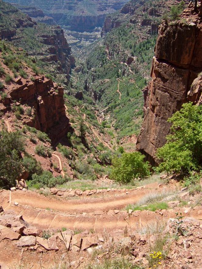
We had a good hike down past the bridge you can see at the bottom of the picture,and continued around the bend just past whre the trail disappears from view far below. By then we were within sight of Roaring Springs pumphouse. There, a high volume spring comes straight out of a lower cliff, and this is pumped from a special station up to the North Rim. In fact, it's the only source of pumped water at the North Rim. We decided to have a snack in the shade of a cliff (not too many places for shade at this time in the afternoon) and then headed back up to the top.
The next morning we're chatting with Ranger Jesse Robertson about trails in the BLM lands just north of the North Rim, the detailed map for that area, and the Saddle Mountain trailhead. We talked about the Lava Falls hike of a few years ago, and other hikes he had done there.
Then just in passing we talked about how tough a one day rim to rim hike can be, and told him the story of the hikers last night. Well, it turns out he was quite familiar with the story of the late-arrival hikers, and he had met them in the bar last night, and they were enjoying their beer!
A hiker is tucked in for the night. They're reading a book as the sun sets.
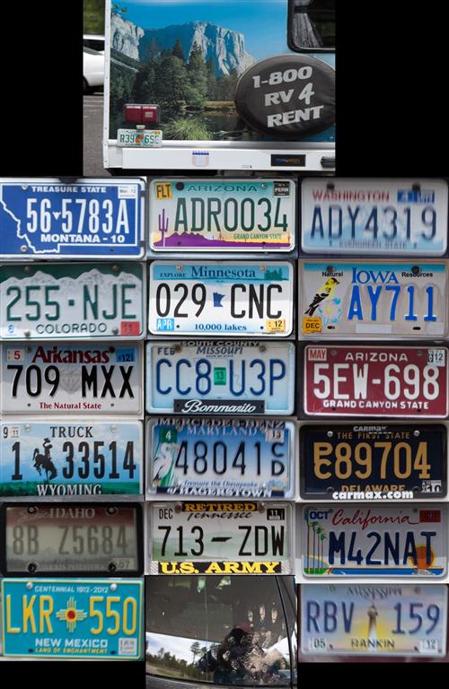
Leaving the Grand Canyon... ...On the Road again...
A somewhat camoflaged Border Patrol Team along the road