2007
Spring trip - to the Southwest
ab
After a mild winter, I thought it would be good to get out early
and see
some of the Spring in southwest areas usually visited around the end of
May. It was good timing actually, because this would mean my cousin
Jackie could accompany me for part of the trip, and see for the first
time the California and desert southwest regions. So we laid plans.
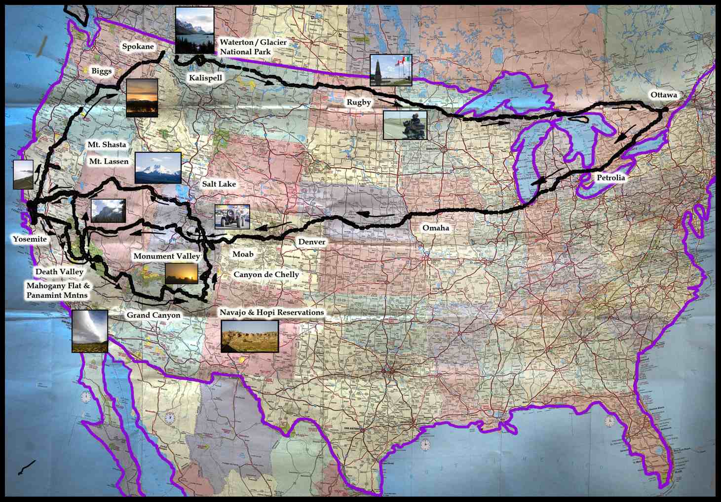
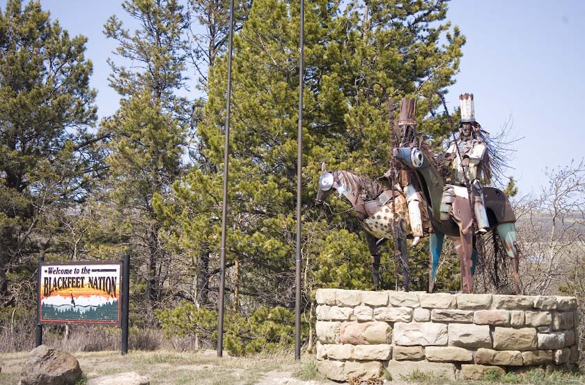
Originally, I was going to drive out west to visit my old friends Bob
and Diana in Rossland British Columbia, stopping on the way at
Waterton/Glacier National Park for
some photography. At the last minute (t minus 2 days), I discovered my
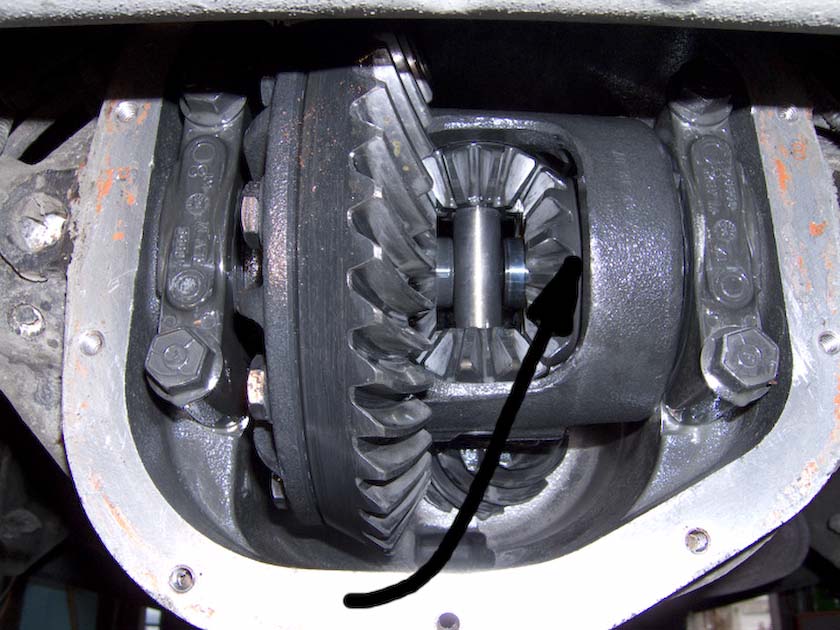
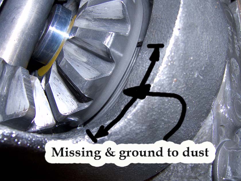
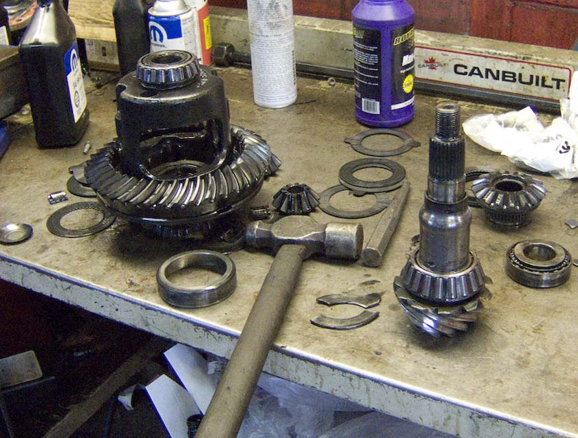
rear differential was full of "aluminum paint" rather than clean oil,
so with repairs and all, the schedule slipped. I wouldn't be able to
visit BC this time.
If you look closely just behind the side gears, you'll see segments
missing from a big retaining washer. These bits (the size of 5 cent
pieces) churned around and went to dust, but never jammed in the gear
teeth! At least that was lucky.
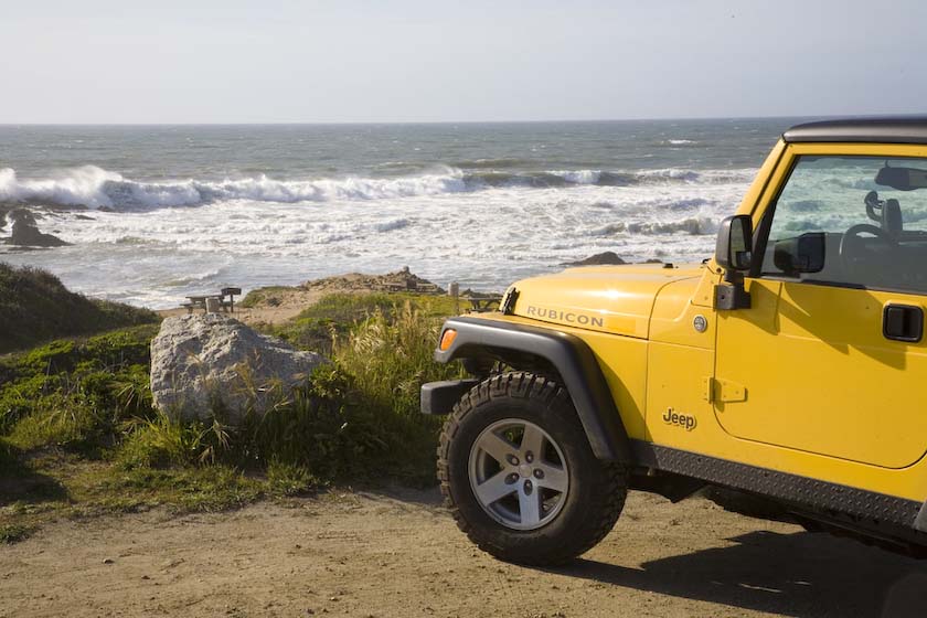
On April 2nd I finally set out, traveling southwest-down the lesser
roads from Ottawa toward Toronto, all the while breaking in the engine
of a yellow jeep. Up and down the gearsI went, with speeds less than 80
km/hr (50mph) for a full day. Spent the night in Petrolia Ontario, just
an hour away from the border crossing at Sarnia in to Michigan.
Basically, I wanted to cruise through the central states more or less
directly to California, as I was meeting my cousin at SF airport in a
few days. As it turns out, this was just as well because the
Midwest
weather was changeable and brutal. From Chicago at a sunny 80 degrees,
it rapidly went to freezing outside Omaha Nebraska, with 30 mph
crosswinds and gusts to boot.. You put your winter coat on just to pump
gas.
Buzzing along I-70, I stopped in Denver to pick up a set of tire chains
at Pep
Boys, because you never know when you'll need them in the
mountains-sometimes even in summer storms. Then I just kept going west.
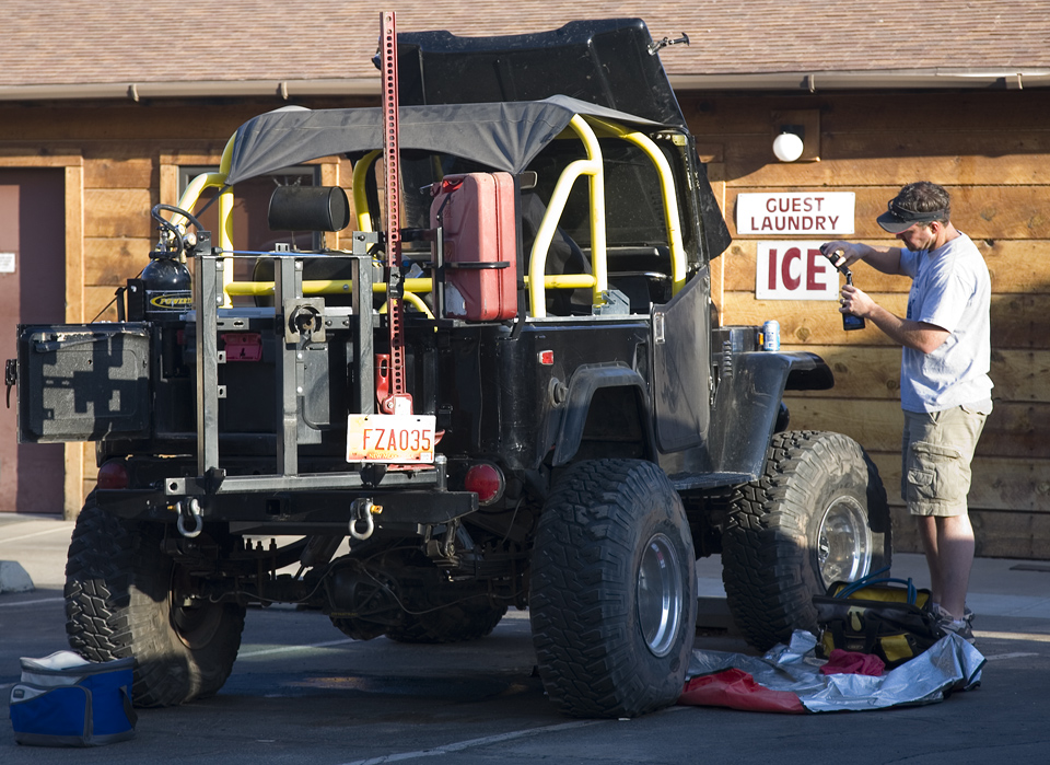
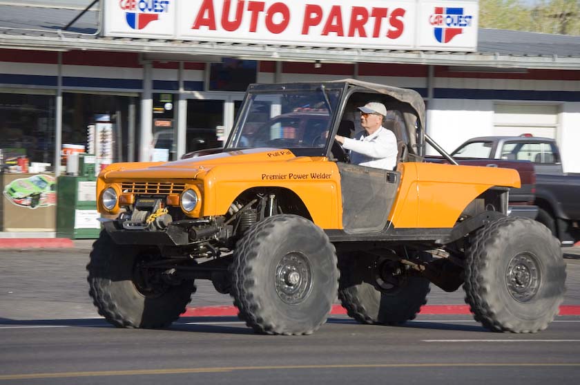
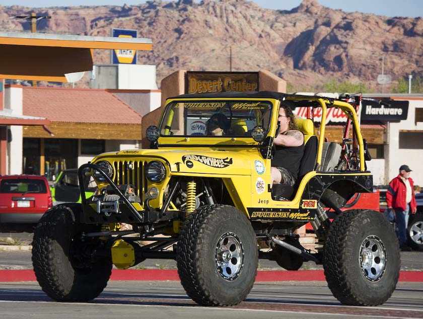
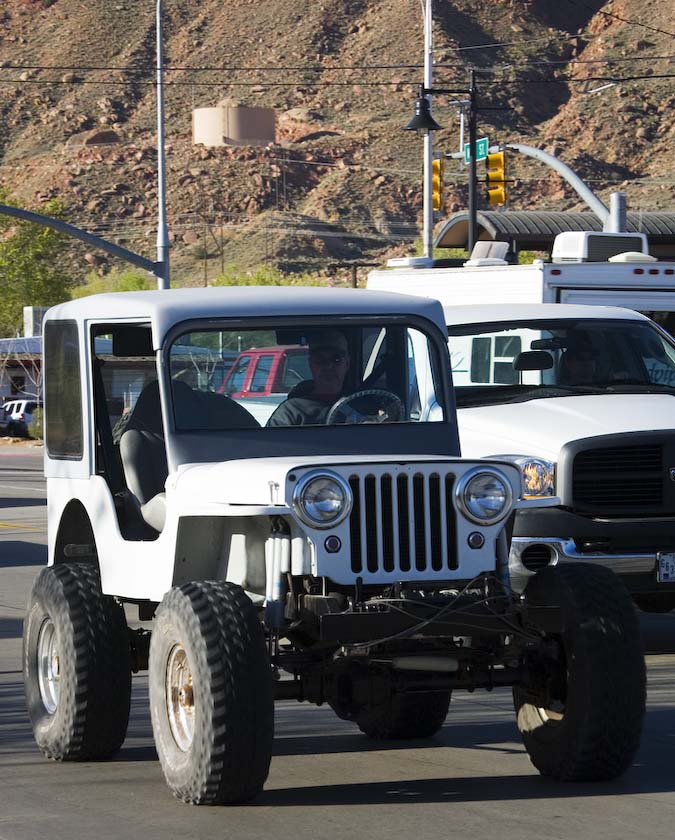
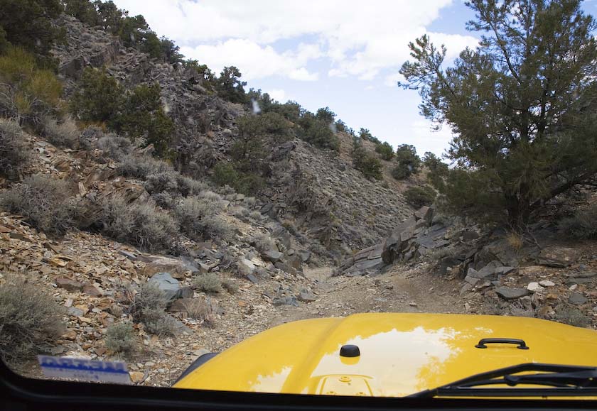
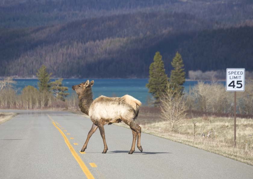
All Jeeps
go to Moab
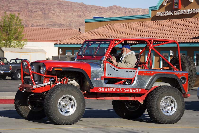
The first big stop was in Moab Utah. I didn't know there was a big jeep
thing starting the next day though, so was really lucky to get one of
the last
rooms in town. The last hour going down the night highway, it became
pretty clear that something was up-lots of trailers trundling along
with jeeps on flatbeds…even arriving the next morning.
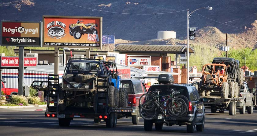
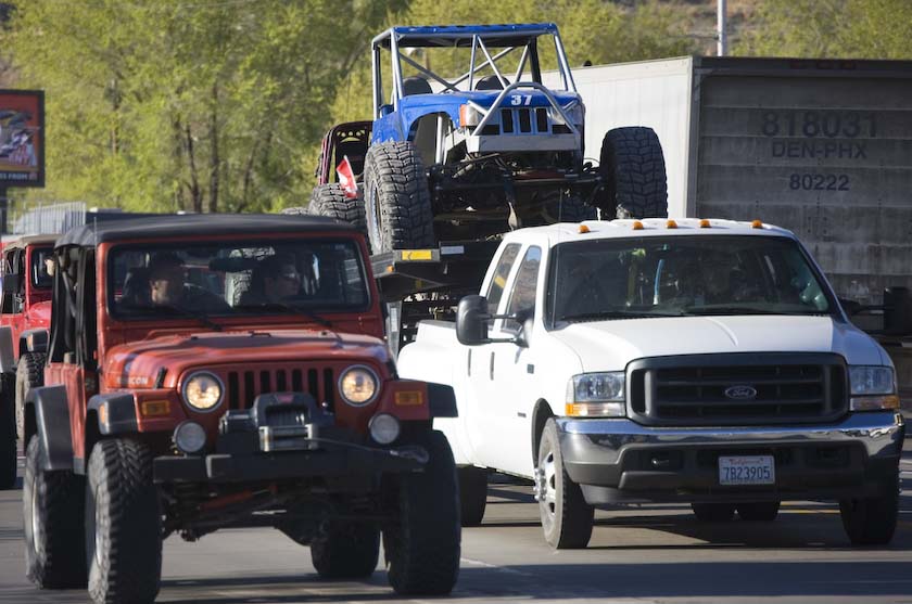
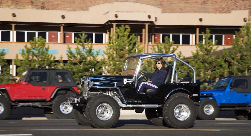
Talk about high spirits and people having fun, getting ready
to go out on the red rock trails…
...
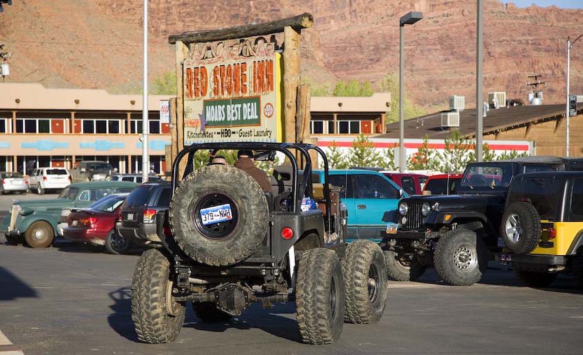
The Moab Armored Car
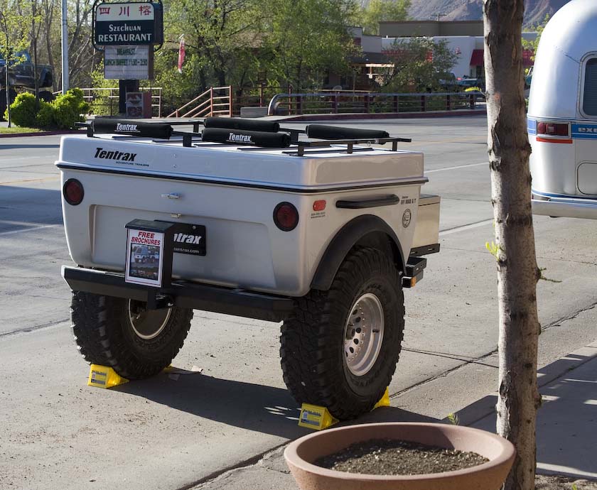
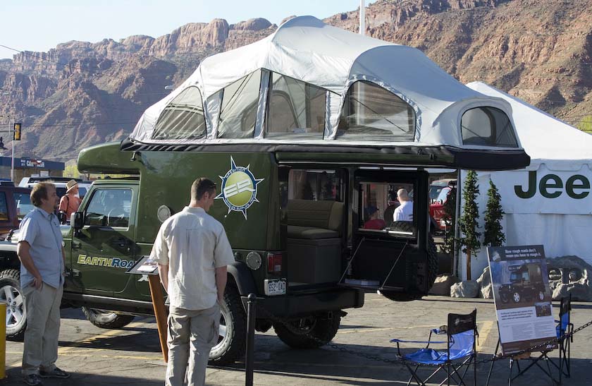
A cute adventure trailer from Tentrax, and a new Jeep Camper from
EarthRoamer - very nice and compact for jungles and European roads.
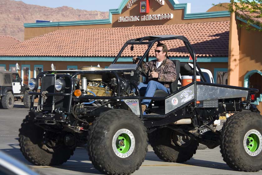
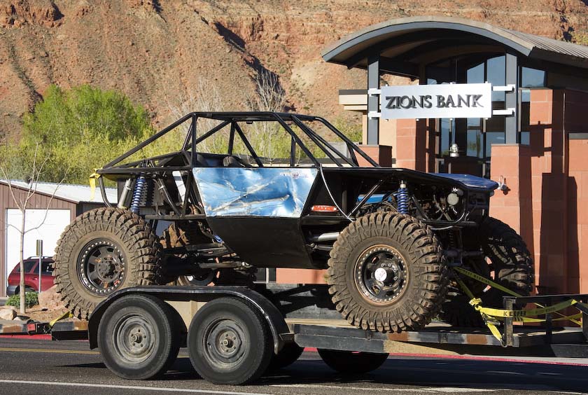
More Moab Jeep
pictures here
Clearing out of Moab later in the day, it was time for a big push to
California. I-70 ends where it tees into I-15 a little bit south of
Salt Lake.
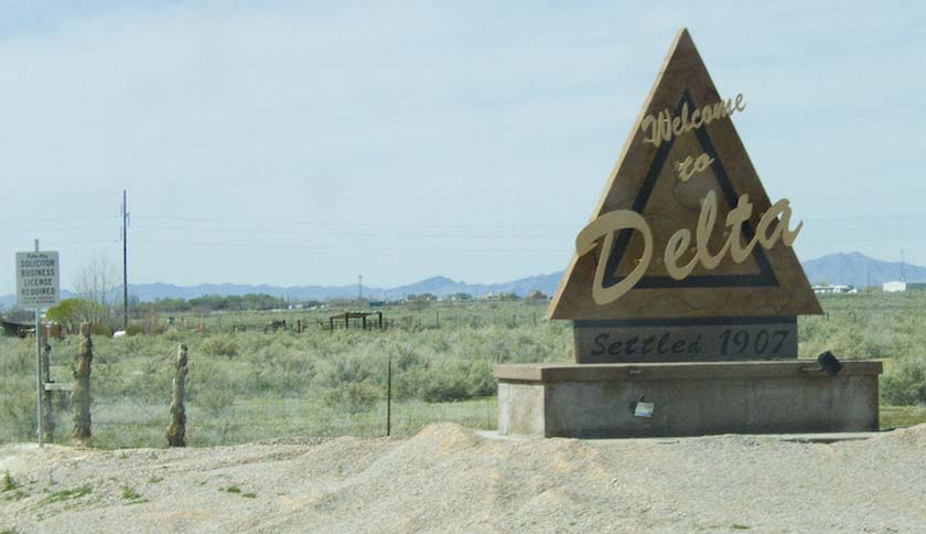
Rather than taking I-15 down through Vegas, I opted for the desert
route via Hwy 50 and 6 through
central Nevada places like Delta, Ely and Tonopah.
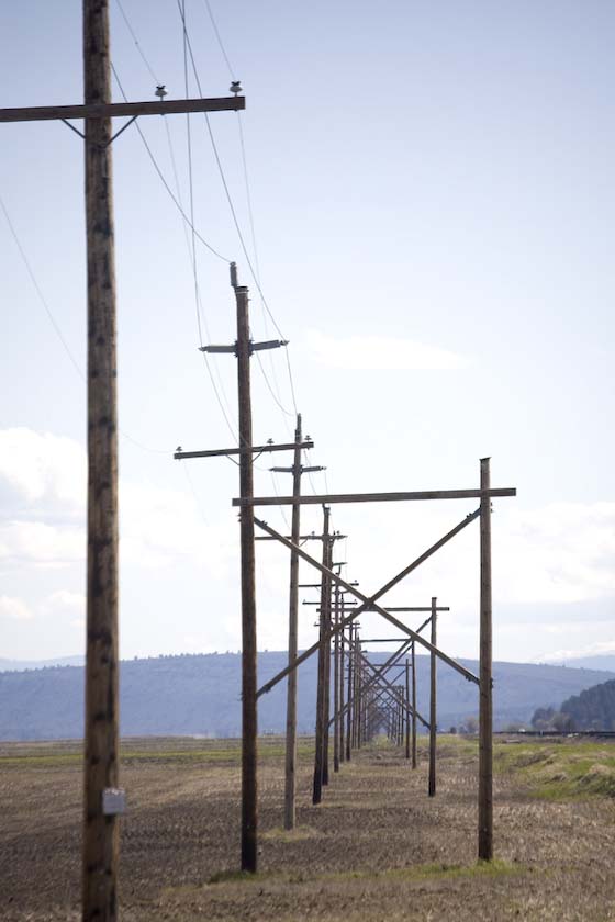
Between Delta and Ely, there was a desert gas station, out of the
forties. As I drive past, the horse in a little corral rears her head,
alerting the dog, who trots up to the pumps, watching. Then, by way of
supervising the dog, up comes the goat. Excitement is relative.
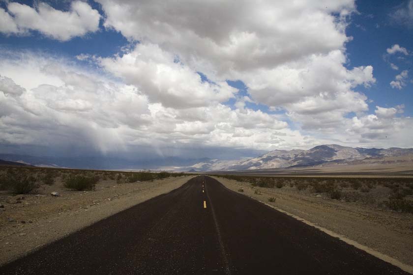
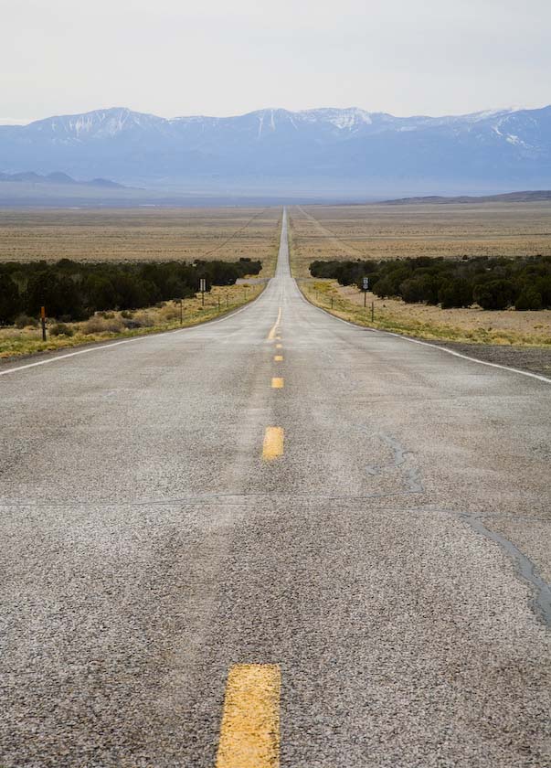
The deserts of Nevada
A bright sunny day meant good driving up to Tonopah in the evening.
They were expecting heavy weather and thunderstorms so instead of
staying there I continued across to Lone Pine to beat the weather.
Early in the morning,out of Lone Pine, it was time
to try catching
the sun on the
eastern flank of the Sierras, up toward Bishop.
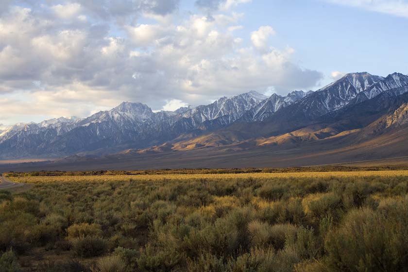
Going along Hwy 395 right hard against the Sierras, it was up to Reno,
then
across
the Donner Pass toward SF. I spent the night in the mountains at
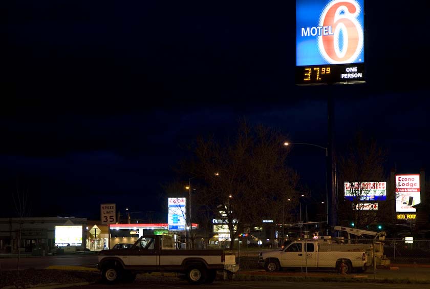
Colfax, then through heavy rain across to Fremont, which is in the
Southeast Bay area, arriving at the Motel 6 midmorning. Being a nice
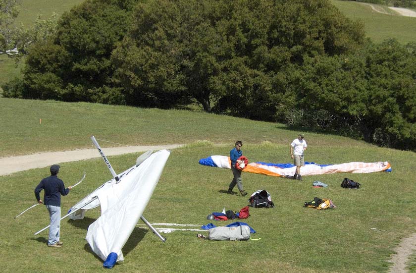
day, I went for a hike up Mission Peak, right next door.
Mission peak hanggliders
Up Periscope
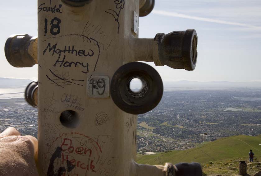
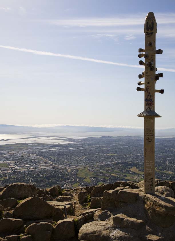
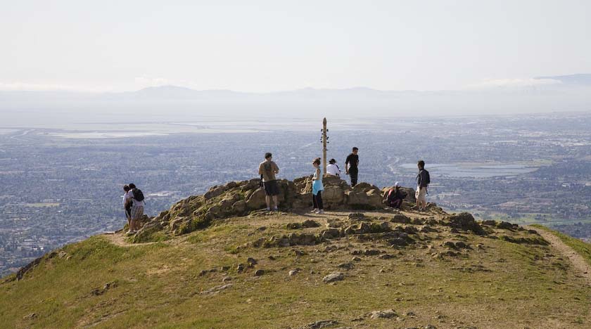
180 View of the Bay Area with San Jose
to the left, Fremont straight ahead, and SF at far distant right

Then first thing the next morning, it was off to pick up Jackie.
First you must
enter the airport
.
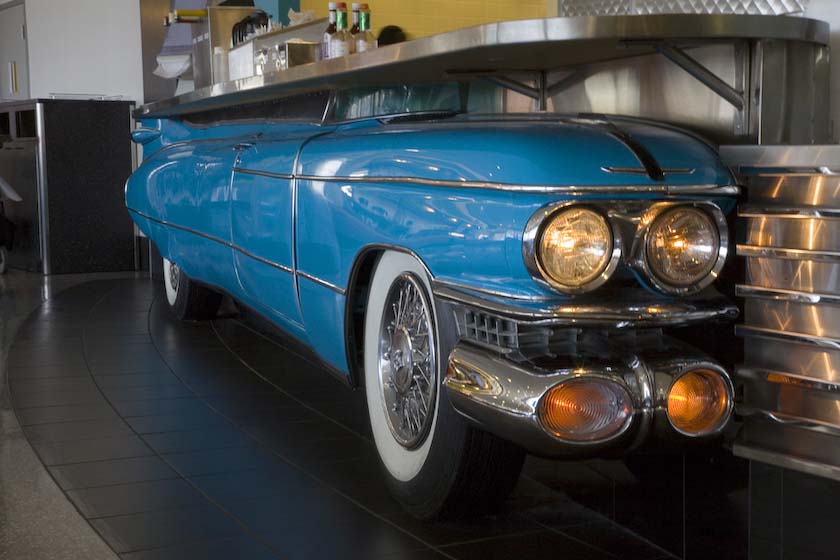
Into the Maw of the Airport Beast
Some older cars had a run-in with the wall of the diner on the second
floor
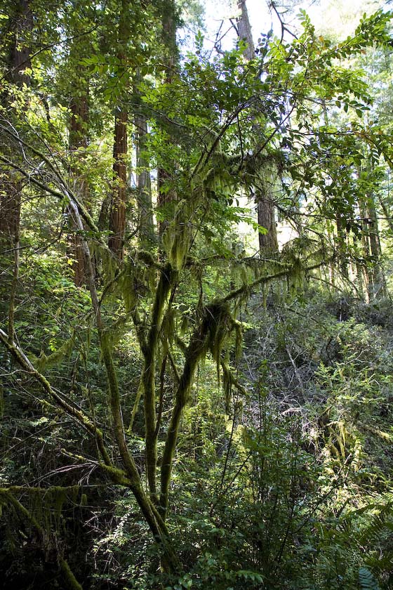
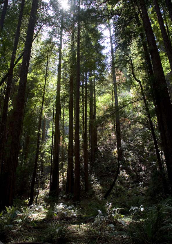
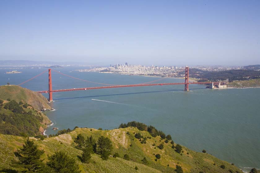
After arriving and getting bags and stuff, we went touring .North of
the Golden Gate bridge and Sausalito is the Muir Woods

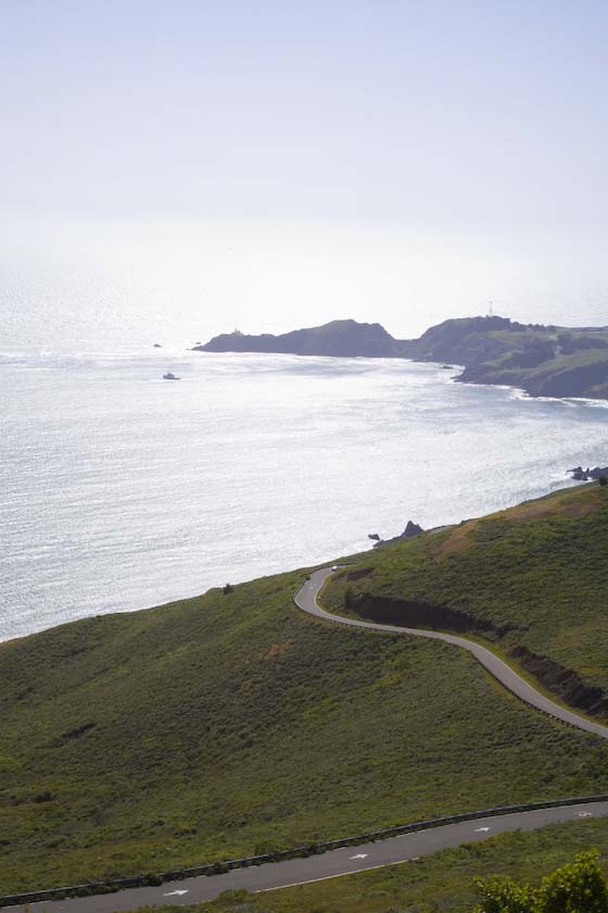
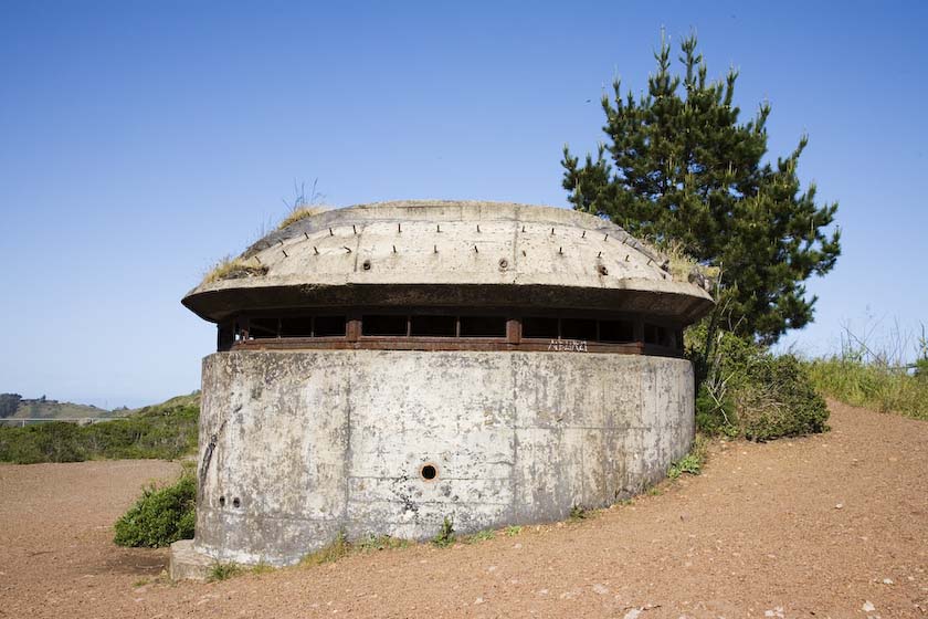
On the way back down to Fremont, we stopped at the Marin Headlands for
a walkabout
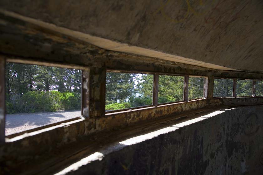
WW II Defenses
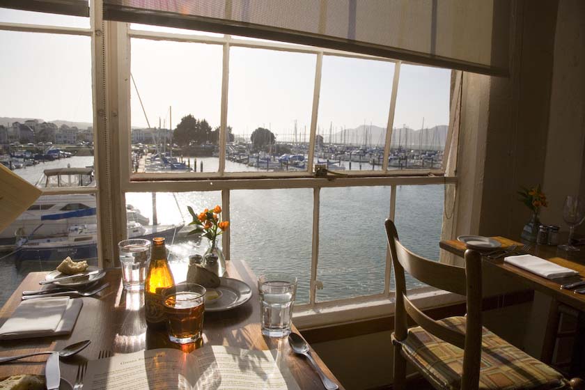
Then off for a great dinner at Green's in Fort Mason, right along the
waterfront. Delicious vegetarian.
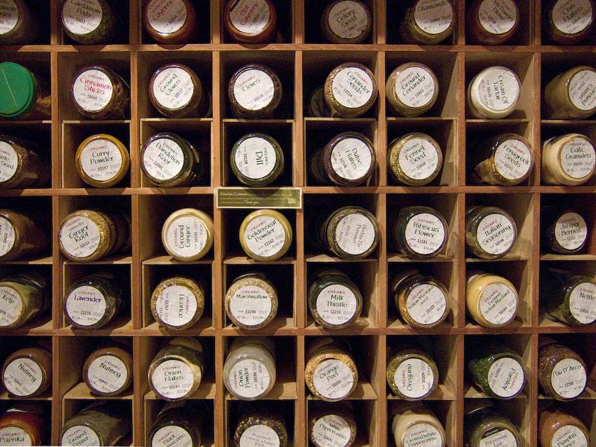
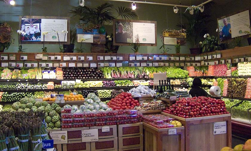
The next day, we went off to do some shopping for food. The stores in
California are well stocked.
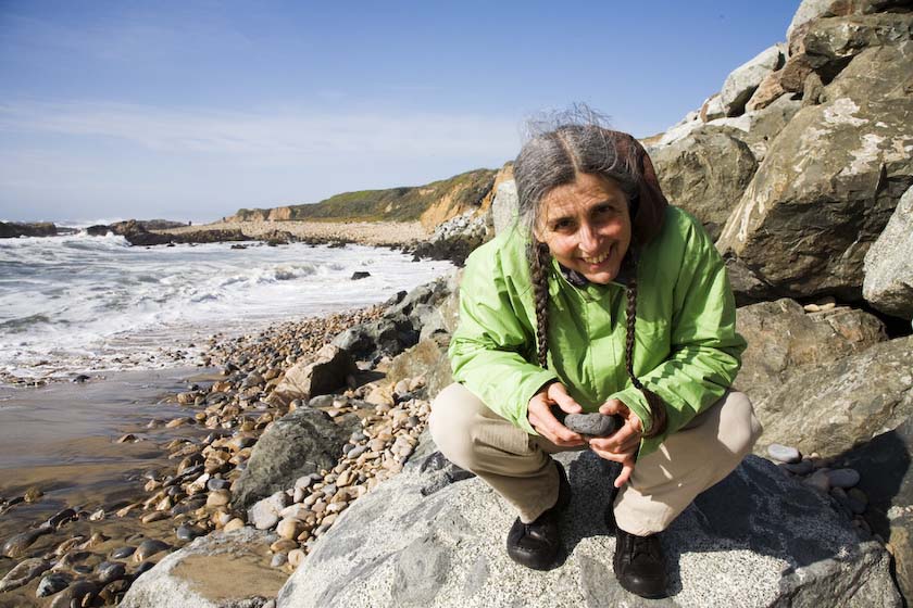
and then a visit to Pescadero State Beach, just south of Half Moon Bay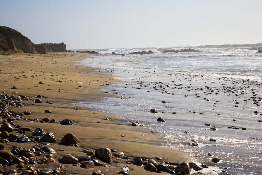
Fishing with all 5 senses

BBQ and surfing anyone?
Onward to
the Mountains
Getting out of the Bay area early, we got into the
foothills and the sky clouded over.
The weatherman was calling for "Big Weather" throughout the Sierras and
even the desert, so we knew that it would be quite changeable.
As the trees got bigger, so did the raindrops and snowflakes
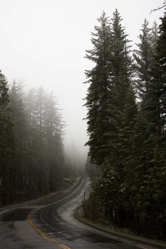
The Leaders of the Chain Gang, standing by
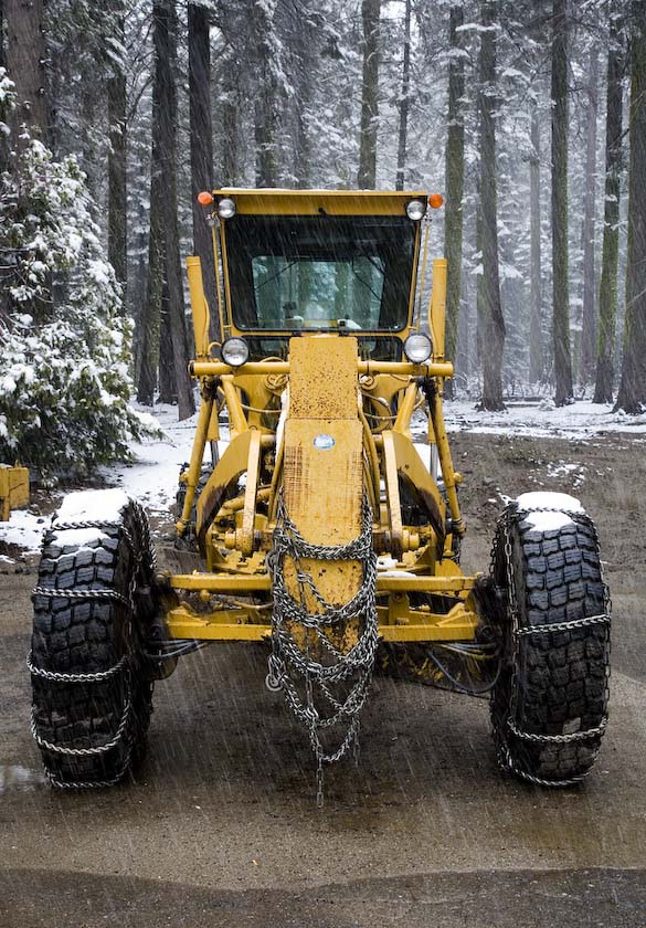
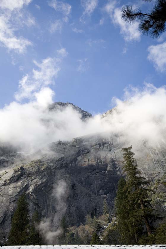
and finally our first glimpse of the valley…
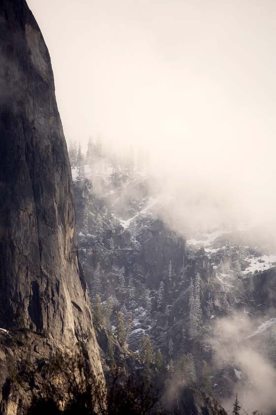
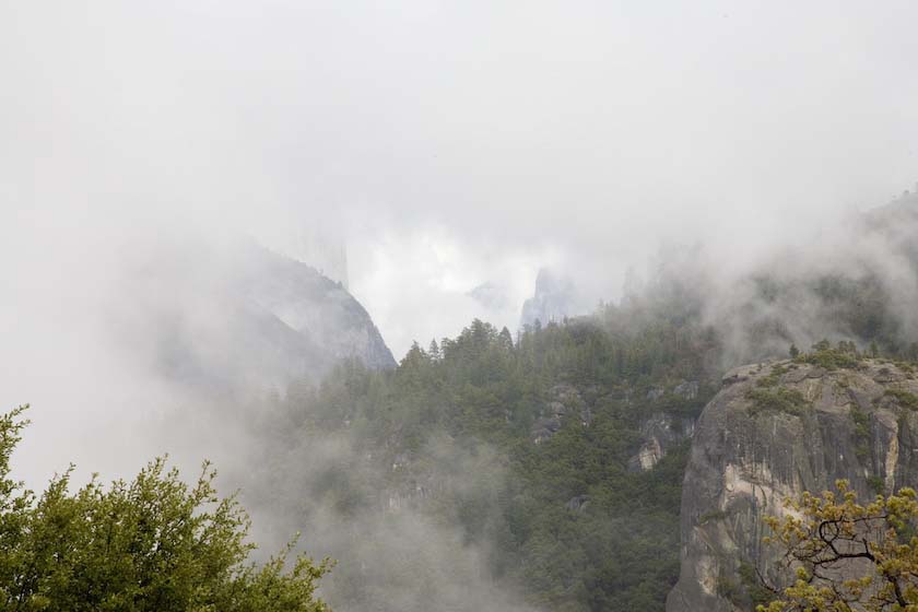
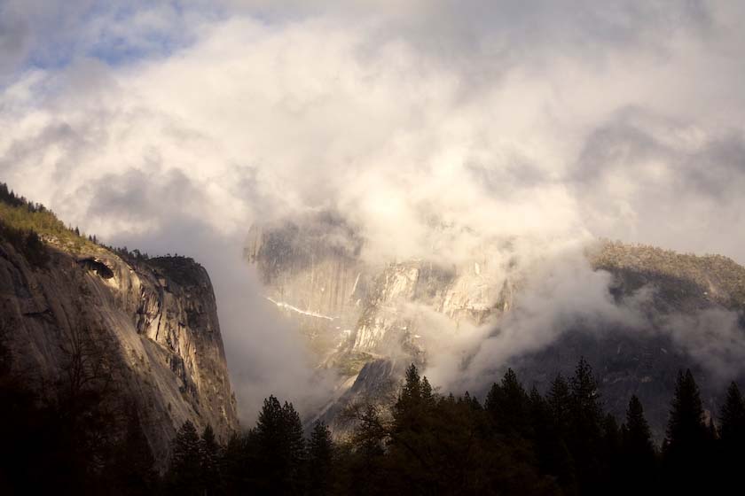
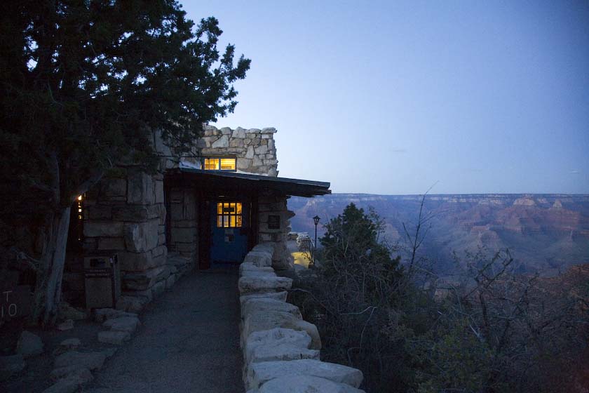
After getting the tent set up, we caught a bit of sun at Tunnel View,
then
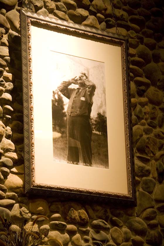
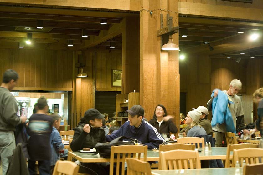
had dinner at Curry Village.
Listening to the sounds of the mountains
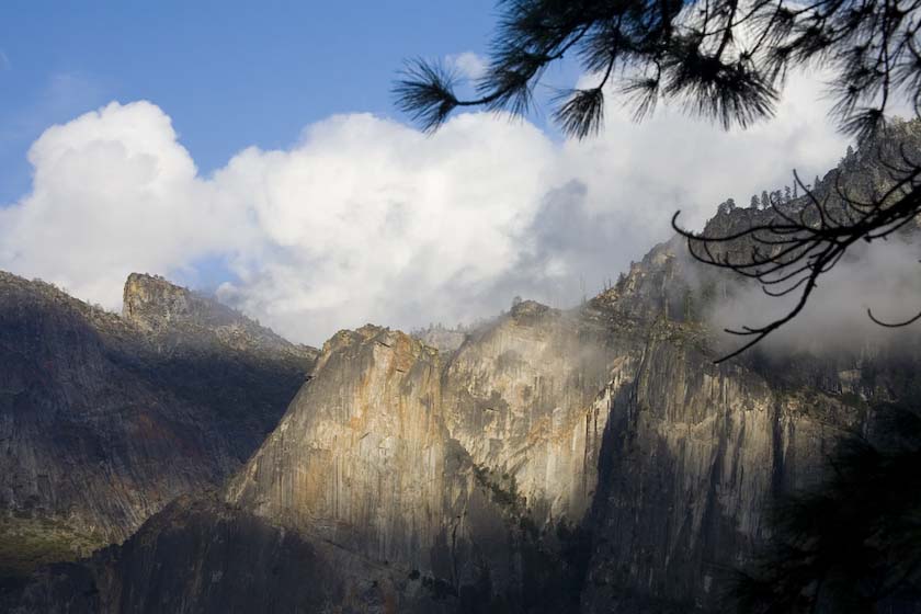
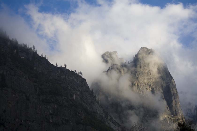
Next morning, sunny skies likely…
and the first cyclist of the day (a hardy one)
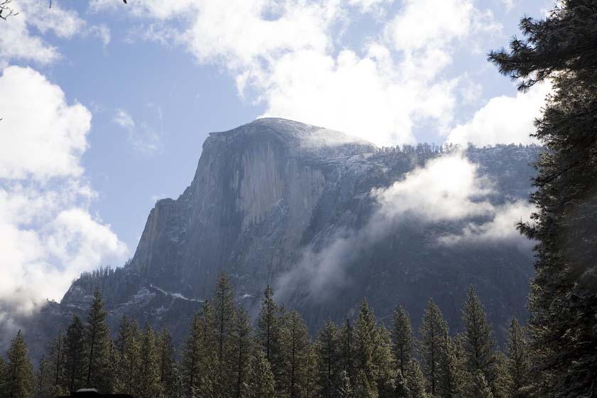
Over the rooftop, looking up at Glacier Point
half dome in the distance
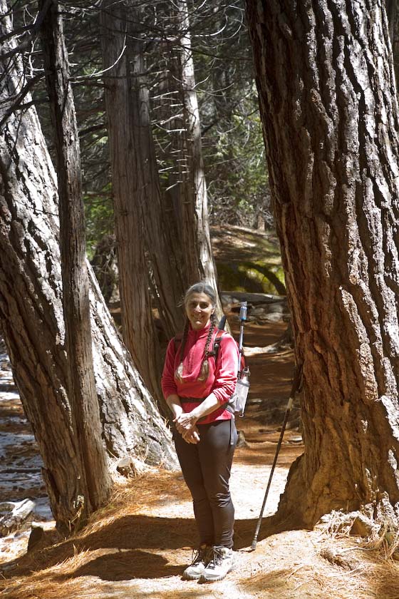
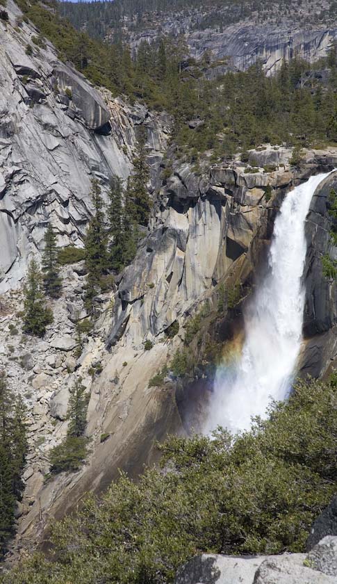
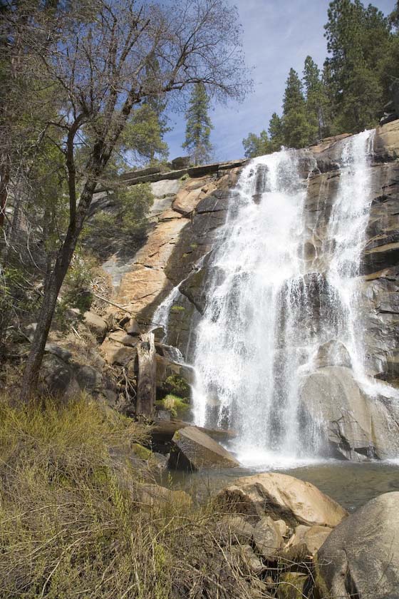
Jackie on the way to Nevada Fall, after an earlier trek up the mist
trail to Vernal Fall
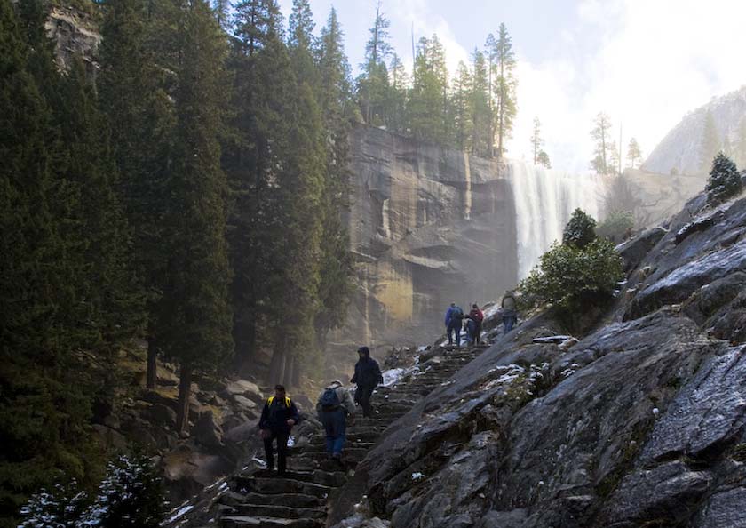
At the top of Nevada Fall, we again met a group of hikers we had
met earlier. It was a great opportunity to sit and chat for a
while and bask in the sun. Hanzil, Judy and all were up from Long
Beach, and, during the
trip, Carl
was on the prowl for unusual mushrooms and fungi, being a
mycologist, with a passion for his work. Everybody was quite active
outdoors, enjoying a gorgeous day.
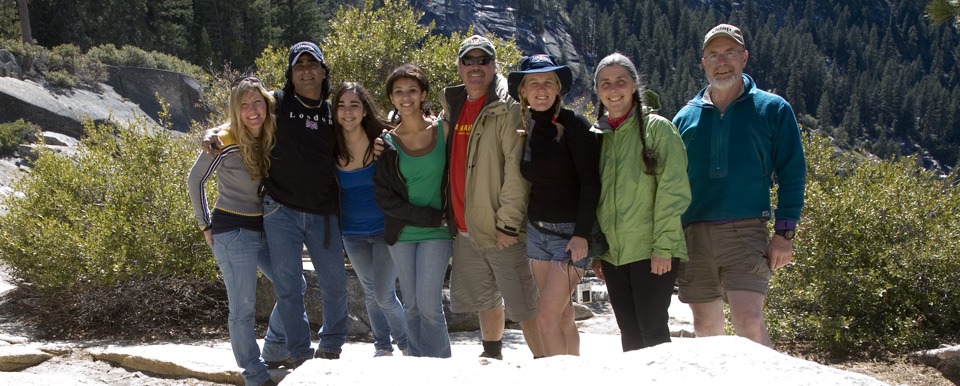
Jennifer, Hanzil, Fatima, Chloe, Carl, Judy, Jackie, Gord
After a nice lunch, we parted and headed down via the John Muir Trail,
along the
Panorama Cliff on the way back into the valley.
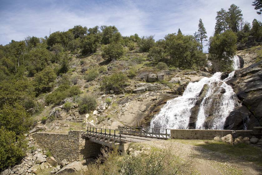
It was only recently free enough of snow to walk down.
Looking back, the flow over Nevada Fall is less than usual, in early
Spring, but still nice. And the moss-walled switchbacks await.
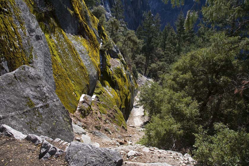
The switchbacks lead us from sun to shade continually. Nice and warm in
the sun, and briefly cool in the shade.
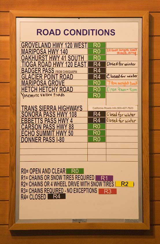
In the Visitor Center, we see the true meaning of mountain travel
conditions with R0 through R4.
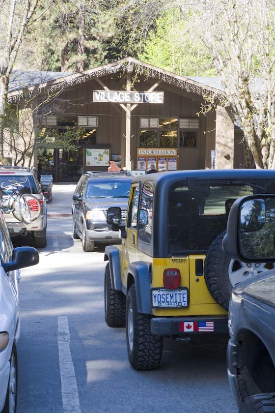
...and the village store parking lot is already full
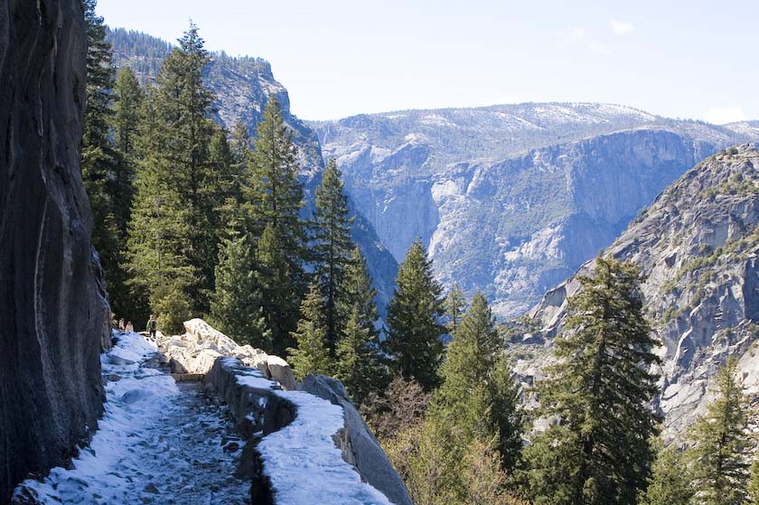
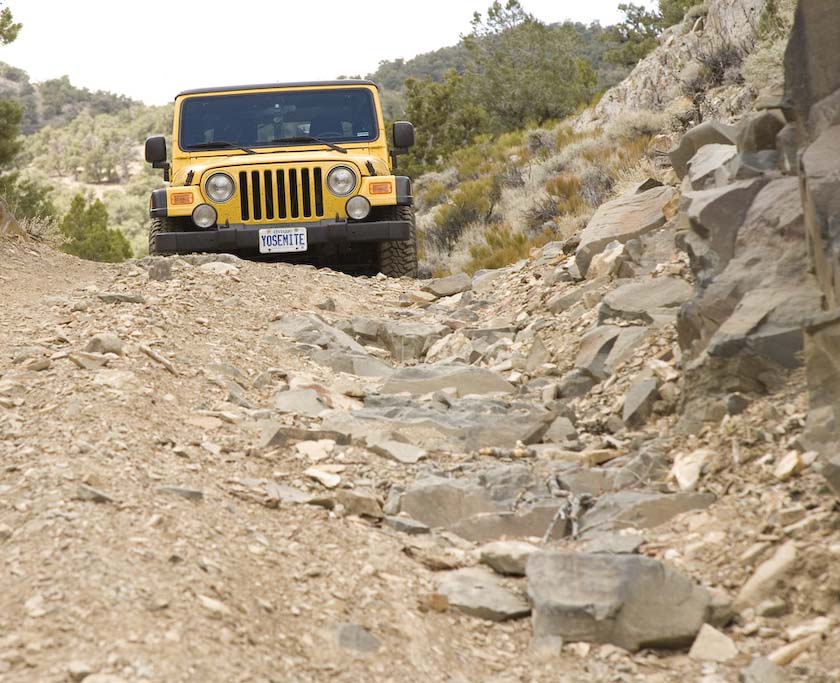
The next morning, we set off to travel the Foresta Road, past some
rocky spots and signs that warn off people in cars. The trail is
actually pretty much a road in all places, as the photo below shows,
but then it becomes VERY narrow, and subject to rockfalls. Be prepared
to back up a long way if you meet someone going the other way, since an
often 8 foot wide road and a cliff don't leave many other options.
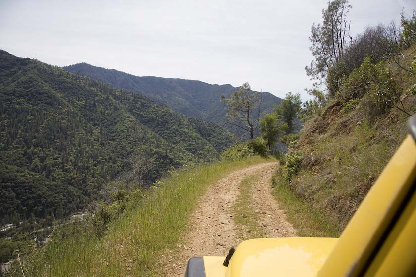
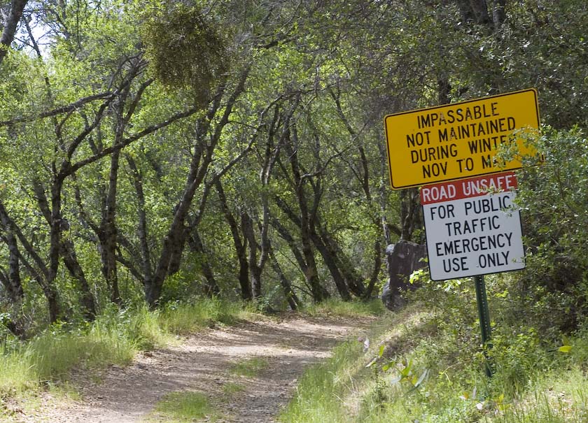
The sign at El Portal says it all…
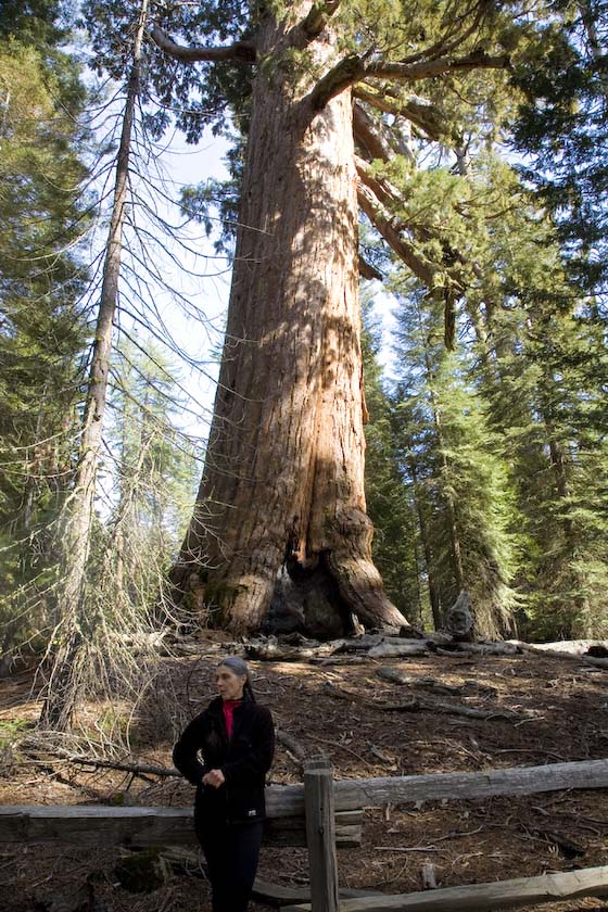
Our next visit was to the Mariposa Grove, home of some big trees, at
the southeastern area of the park. Here, Jackie poses against at the
backdrop of the Grizzly Giant (a Giant Sequoia). (2000 tons, 21
storeys high, 30 foot diameter at base, lowest limbs 6 feet in
diameter, and 2700 years old)
Around the
Sierras
Finishing up our brief stay in Yosemite, we hit the road to loop south
and around the Sierras via Lake Isabella, to get to the east side-ready
for going
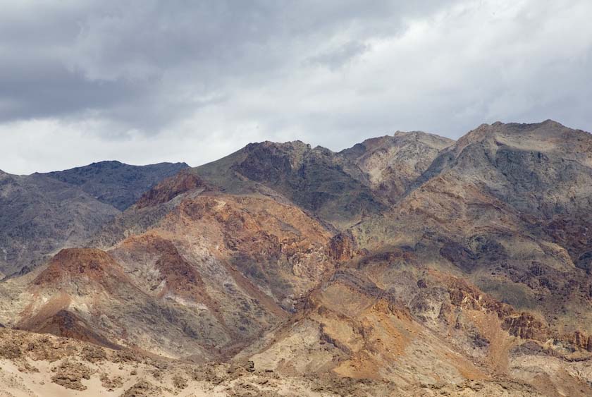
into the deserts of the Panamint Valley and Death Valley. It was too
early for the Tioga Pass to open, so the only other choice was to go
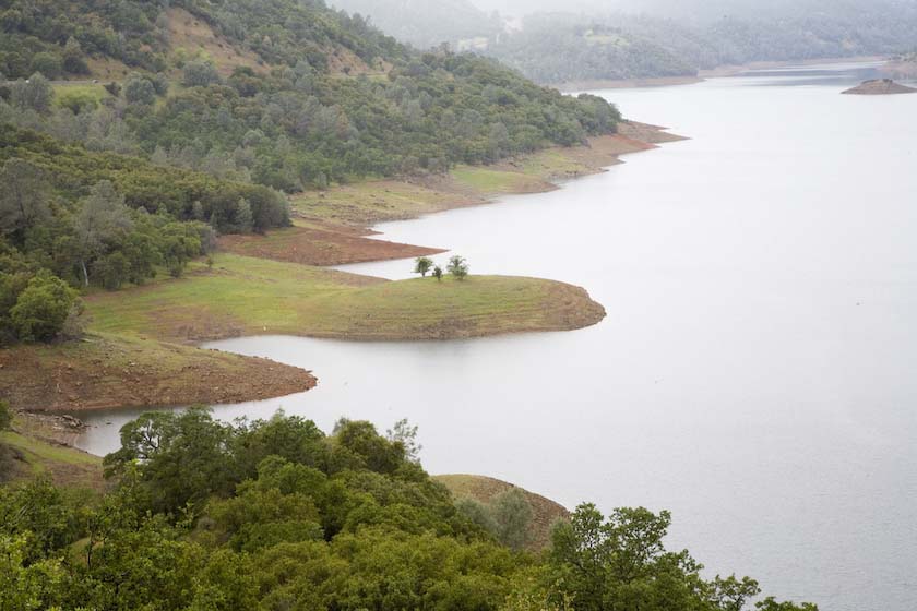
north and around via Lake Tahoe, an even longer route.
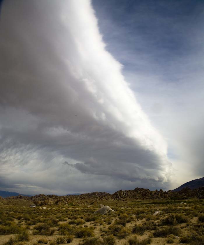
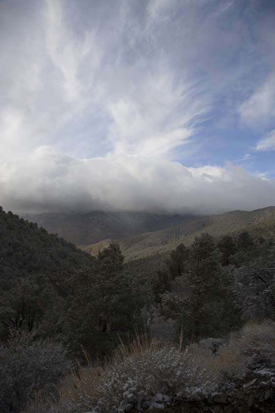
We arrived in Lone Pine to be greeted by a fringe of heavy weather that
had clobbered Yosemite the day after we left. Here we could see it
slowly enveloping the eastern flank, getting closer and closer. While
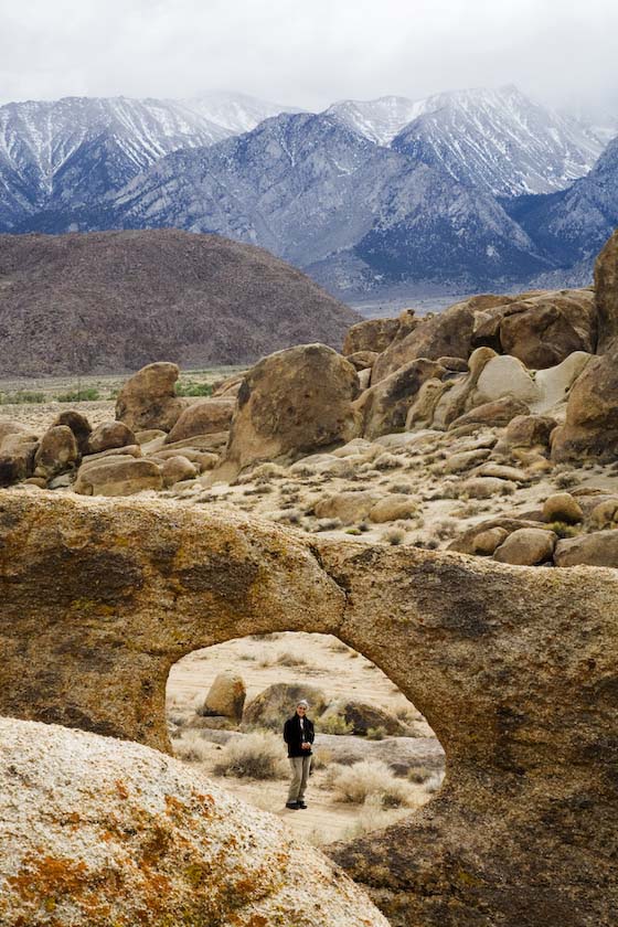
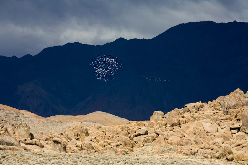
we had time, we went up into the Alabama Hills, lying between Lone Pine
and the beginning of the sierra alluvial fans.
lots of windows
The big weather engulfs us quickly, but still some shafts of sunlight
get through...the birds know when to dance and run
Wait for Us!
road to a rainbow?
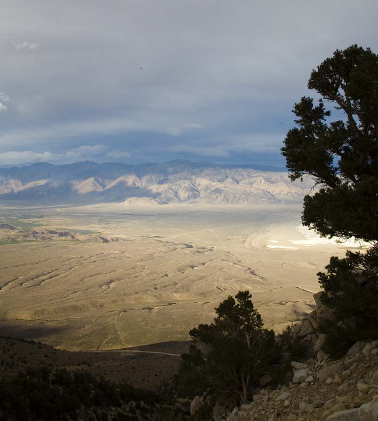
Later on, up the Horseshoe Meadow road, looking east into Owens Valley
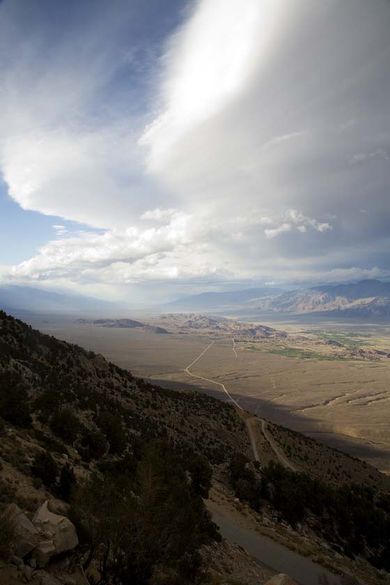
You can see Lone Pine and the tiny Alabama Hills
at the end of the straight road.
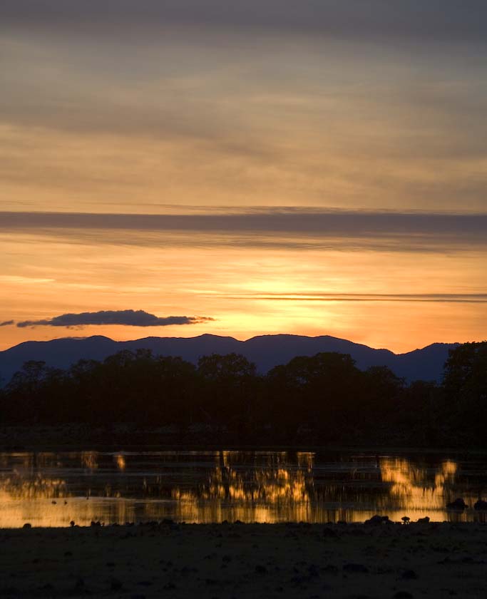
Below, the sun starts to set, casting huge shadows across the Owens
Valley
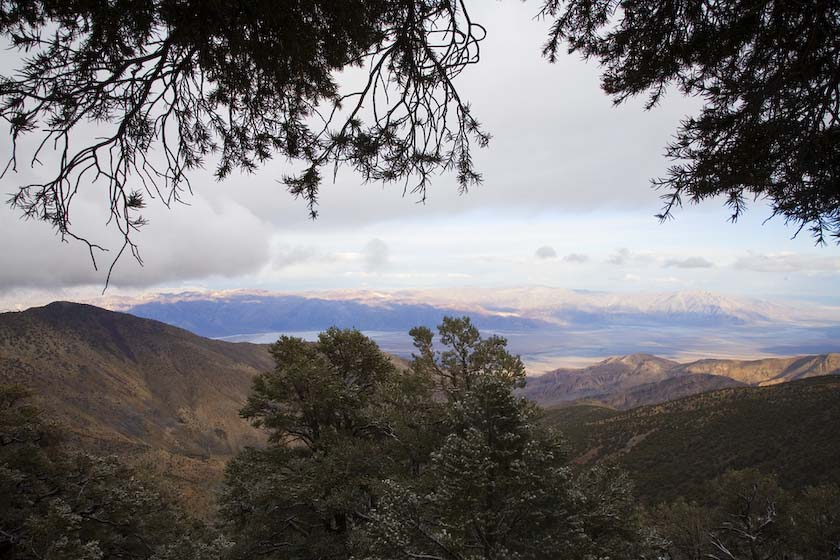
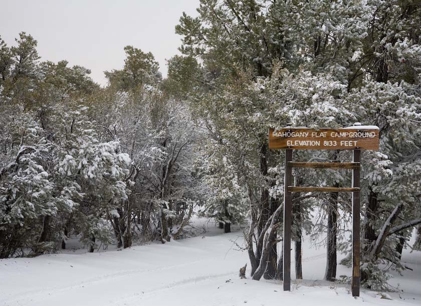
The next day, off we went toward Mahogany Flat in the Panamint
Mountains. Along the way, we stopped at Panamint Springs and enjoyed
some time a the hotel for coffee and snacks.
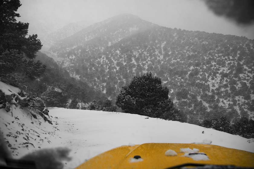
As we crossed Panamint Valley, the clouds again gathered
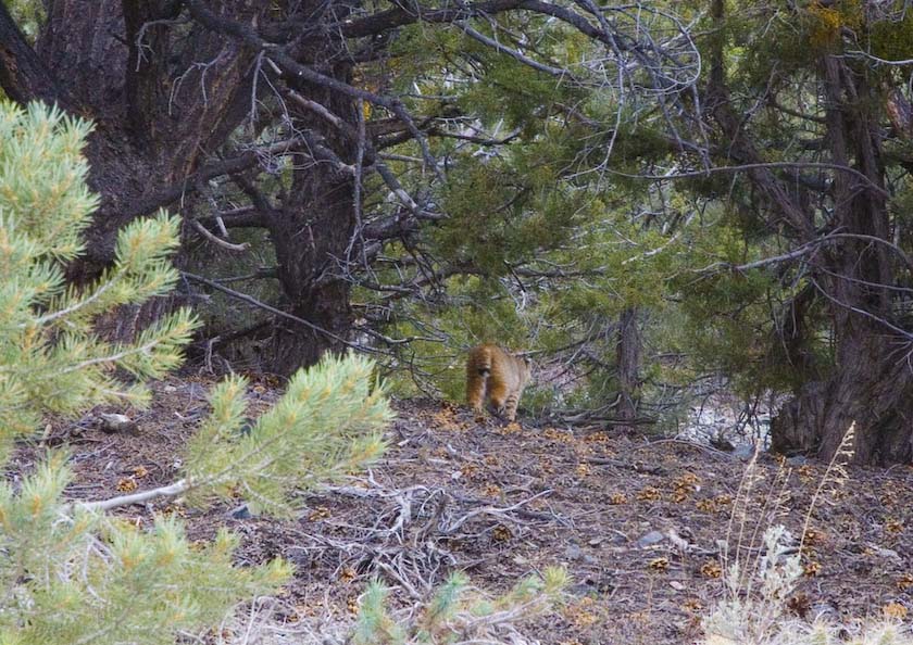
Heading up past 6000 feet, we were very lucky to catch a glimpse of a
desert lynx, making its way across the trail and away. I wasn't fast
enough with the camera, but did get a parting shot.
Lynx Leaving
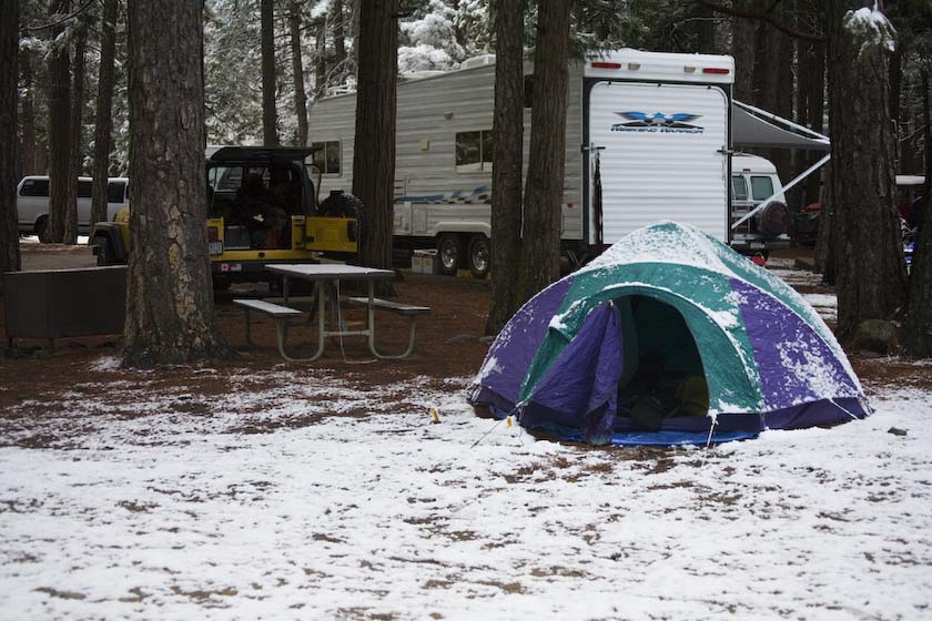
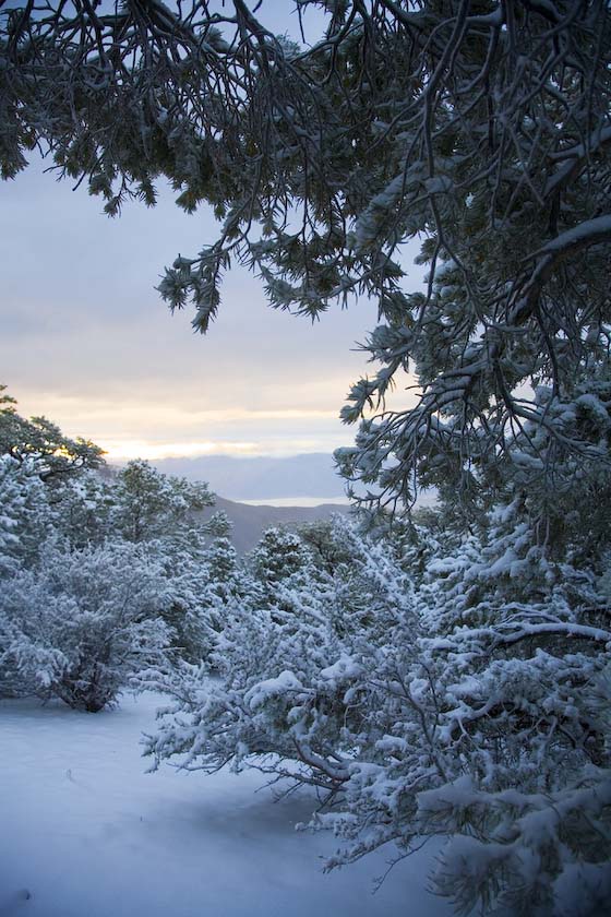
Setting up the tent, as CHUNKS of snow start falling
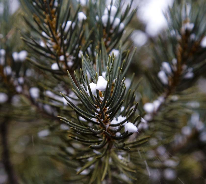
That evening, a walk along the Telescope Peak trail and a few shots of
Death Valley
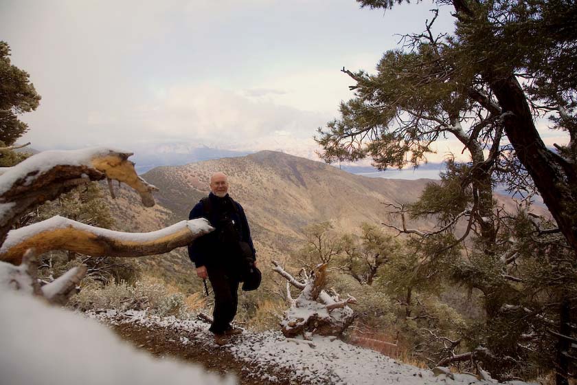
The next morning, with the night's snow compacting and already melting
fast, it was time to get out before a big storm might sock in the
whole mountain range. Going down the trail was no problem with 4 wheel
drive, after having no other campers at MF at all.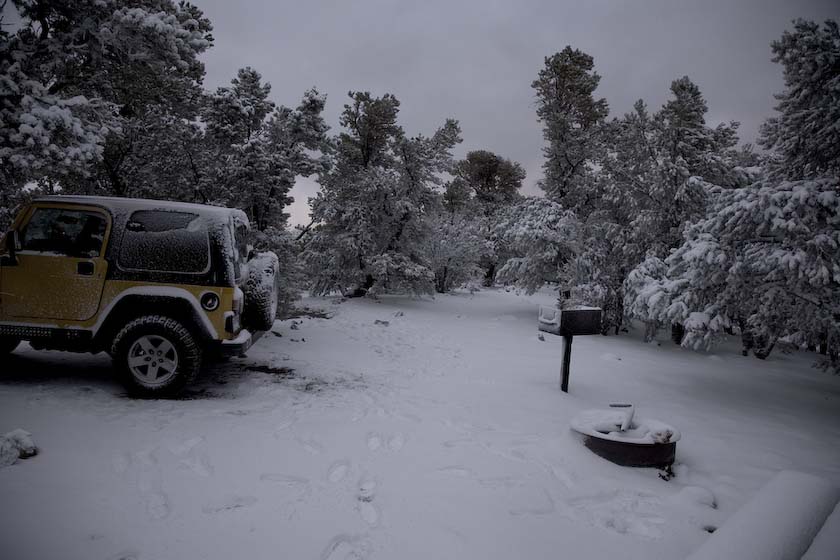
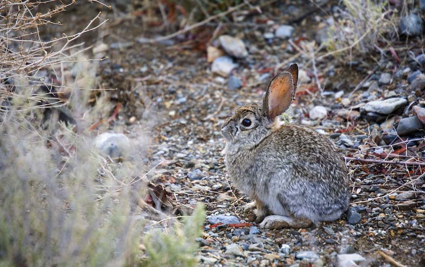
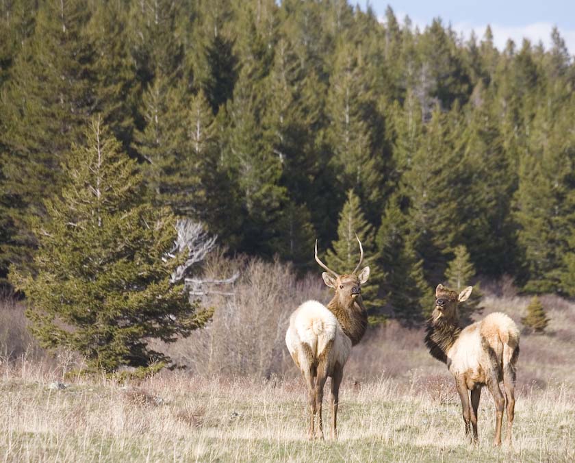
At the Wildrose station, a little bunny shows itself
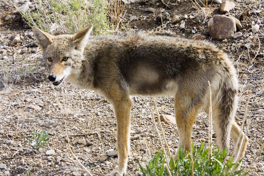
and a little later at Emigrant Pass, a coyote is seen.
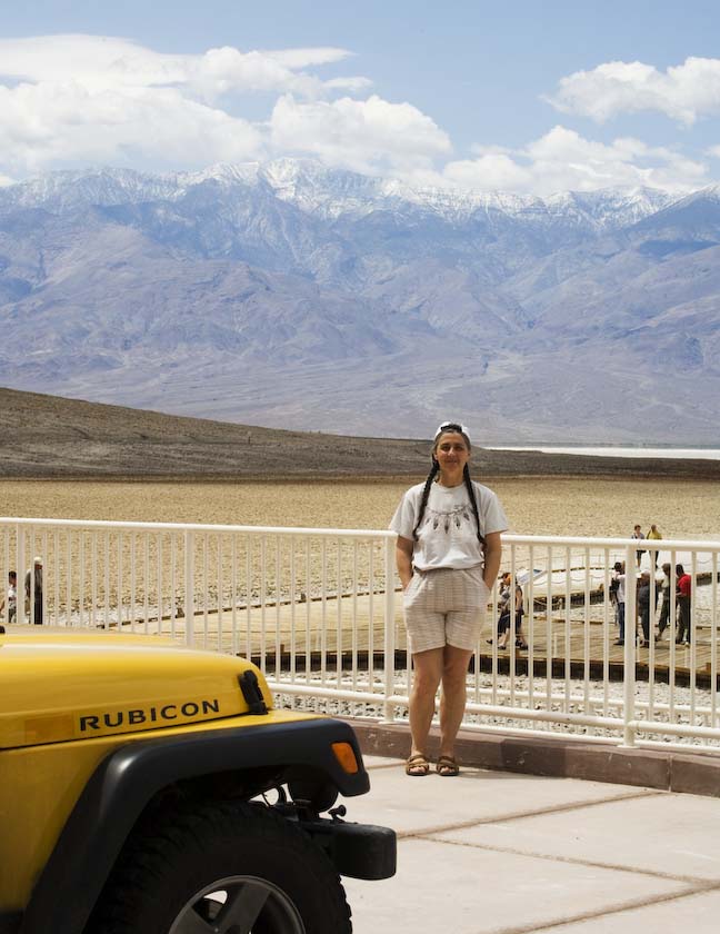
Later in the day, Jackie poses at the new Badwater boardwalk (lowest
point in the continent)
Vegas and
Beyond
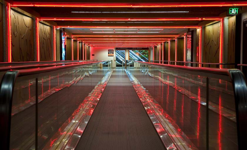
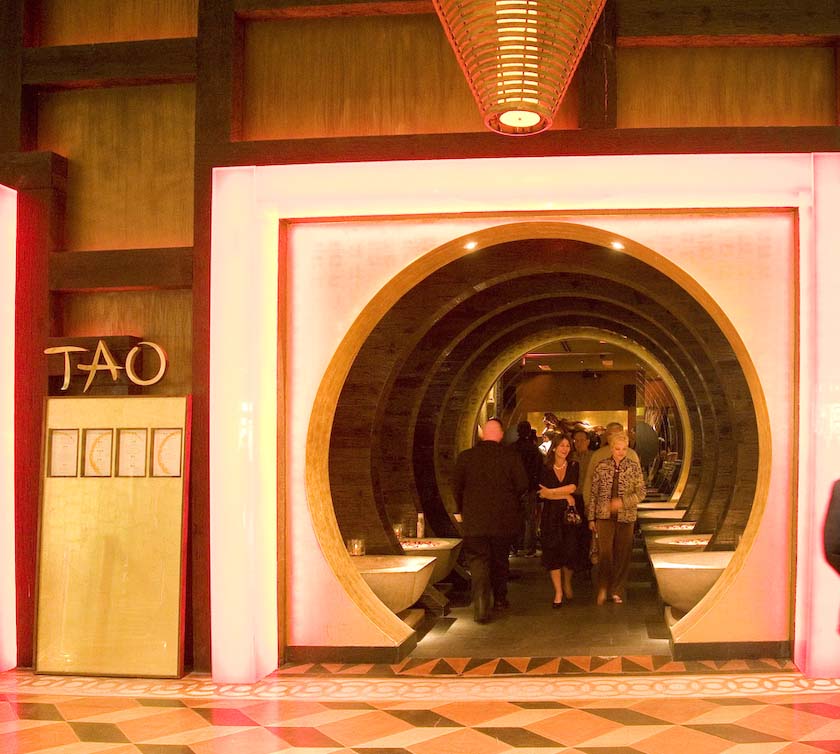
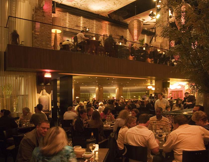
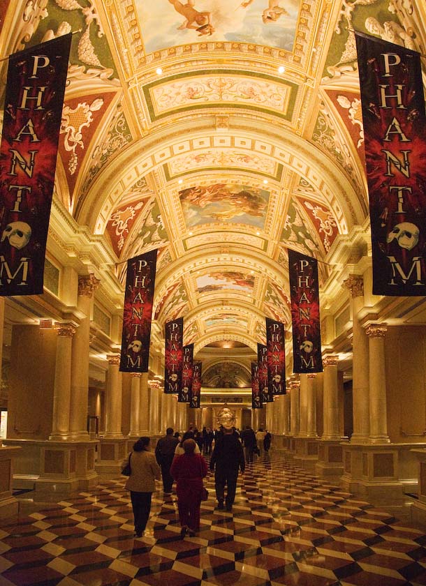
Having grabbed a room at the Stratosphere for a good price, we took a
tour of the new Venetian and had a great meal at TAO, sushi
at the bar.
Hallway to the Restrooms
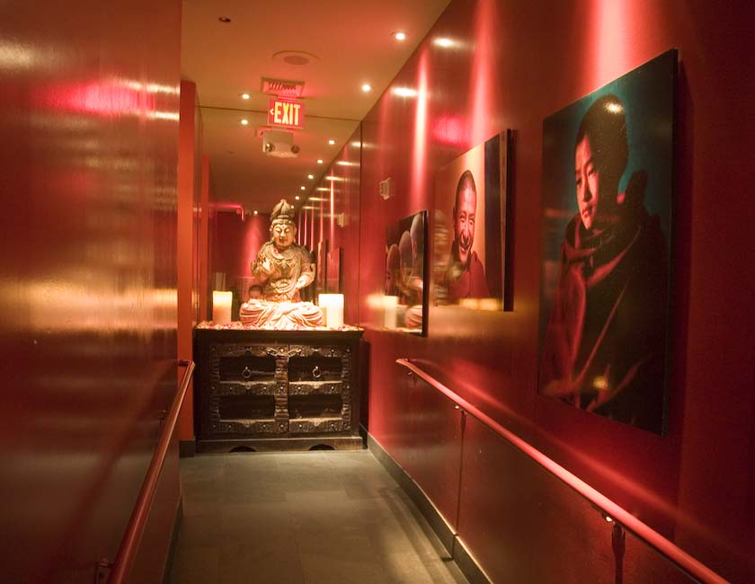
A typical hallway in the Venetian
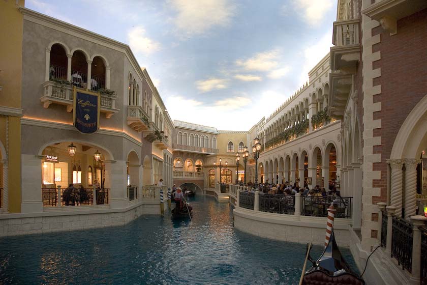
A portion of Venice ( approaching St. Mark's)
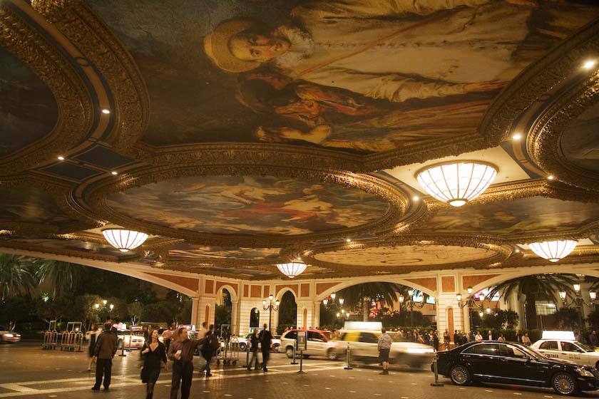
Venetian carport
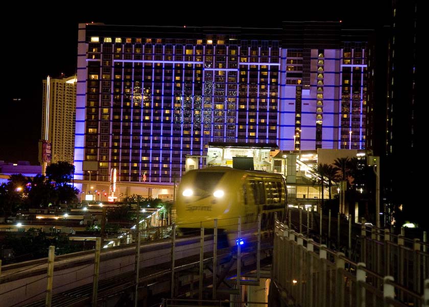
and then back to the hotel by Vegas Monorail
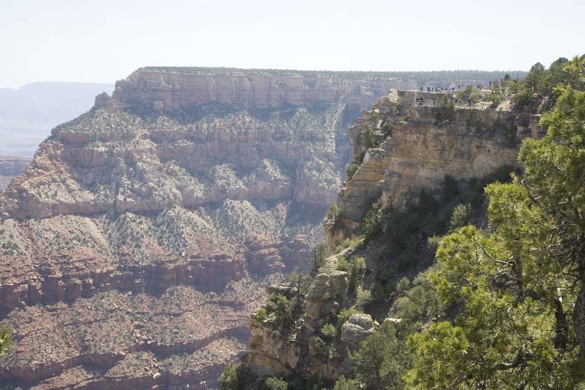
Our next stop was a brief visit to the Grand Canyon and a couple of
hours hike on the top part of Bright Angel Trail.
and then we meet a GI who is heading back to his buddies in Iraq a few
days hence. It was nice talking to Rodriguez and hearing his thoughts
on life and helping others. Best wishes to you Sir, and a safe return
after your second Tour of Duty.
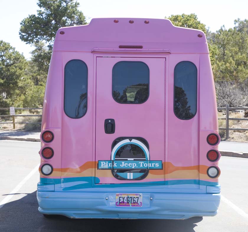
and just when you thought creativity was waning in business you
see this tour bus…..but
you won't see it in Moab that's for sure.
Pink Jeep Tours
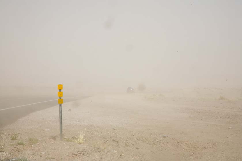
Into the Navajo Reservation on the way to Hopi Mesa, we hit a
sandstorm, and now my windshield has all sorts of little pits. Can you
see the car, and the truck?
Some time into our trip planning, Jackie had arranged for us to stay on
the Hopi Reservation at the cultural center there. It was very
pleasant, with great local food that evening. The next day, we took a
guided tour of First Mesa, and learned some of the culture
and traditions. We learned about planting, harvesting and bread
baking, as well as cultural ceremonies, and values. At the edge of
First Mesa stands the ancient structures of Walpi, still inhabitied to
this day, and deeply connected with the practising of their religion
and dances-a living history in many ways. Afterward, we were
fortunate to be invited to visit local homes, and found much skill in
the making of pottery, baskets and Katsina Dolls.
Approaching mesa
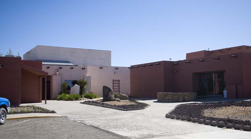
The Hopi Cultural Center (with Museam
and Hotel)
Hopi Visitor's brochure, and examples of
real Katsina Dolls
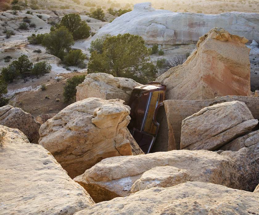
Then later, "Fred and Wilma"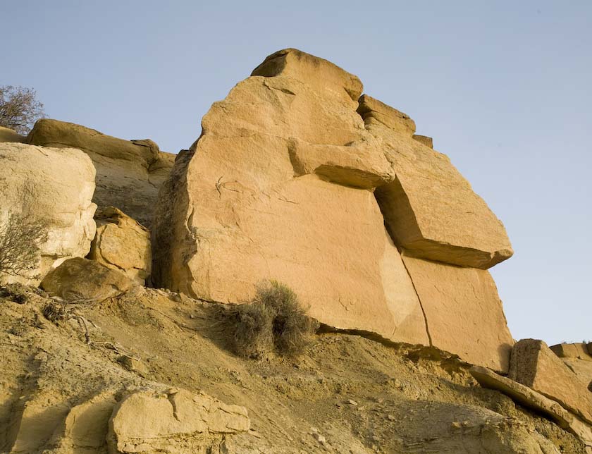
and how did that car get there?
Dog day afternoon at the Hopi Cultural Center. Very nice hotel rooms,
and great food reasonably priced.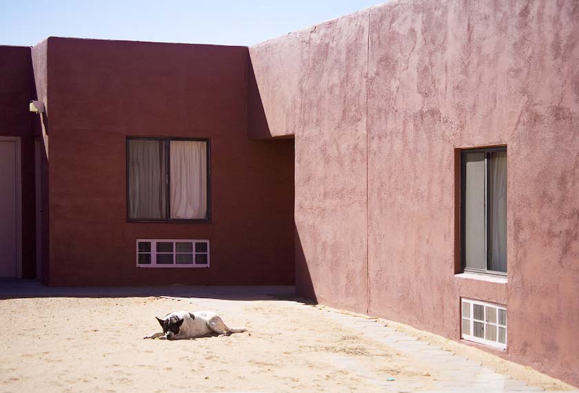
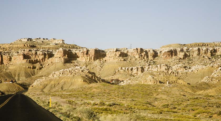
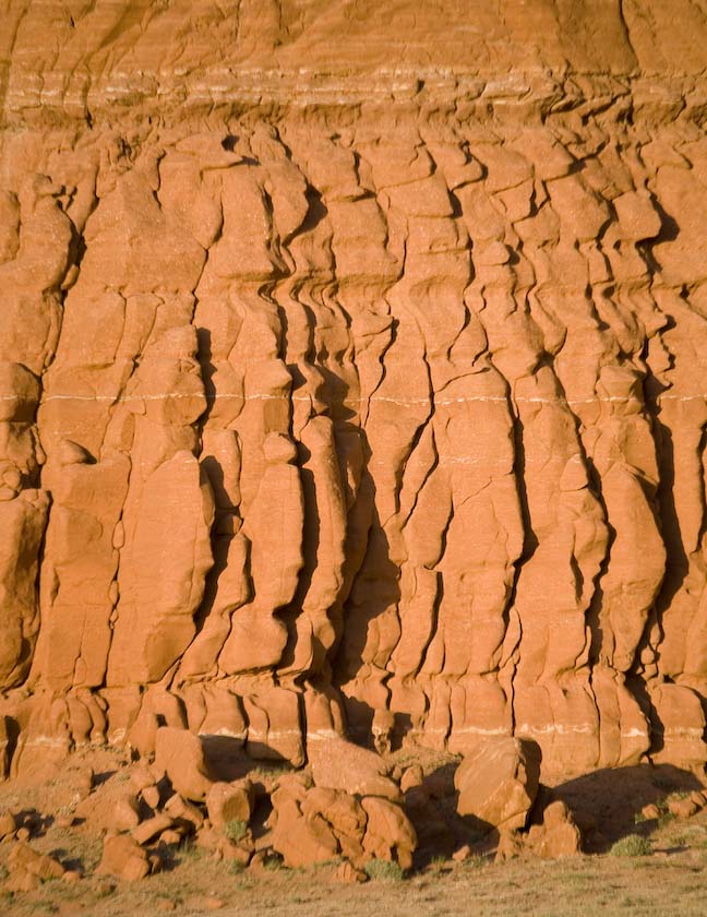
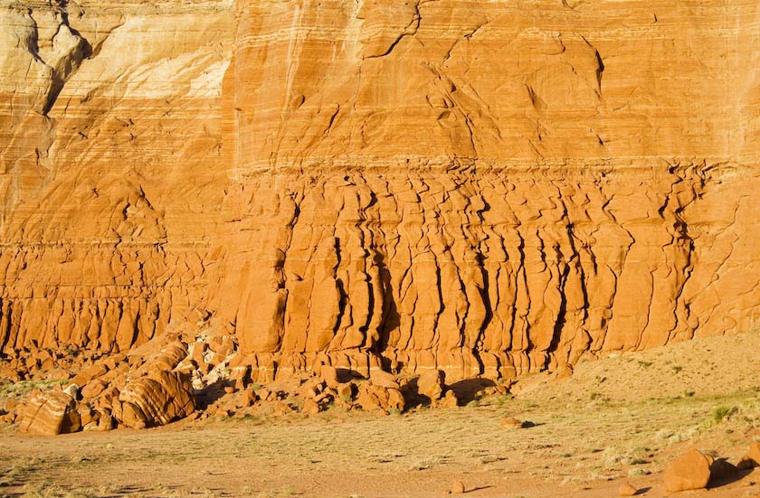
Moving northward towards Monument Valley, some interesting sandstone.
"Overpopulation"
Getting to Monument Valley and Goldings Lodge for the night, I went out
for a coupla night
shots.
Moonset
.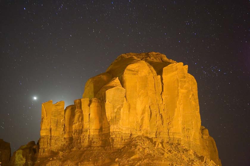
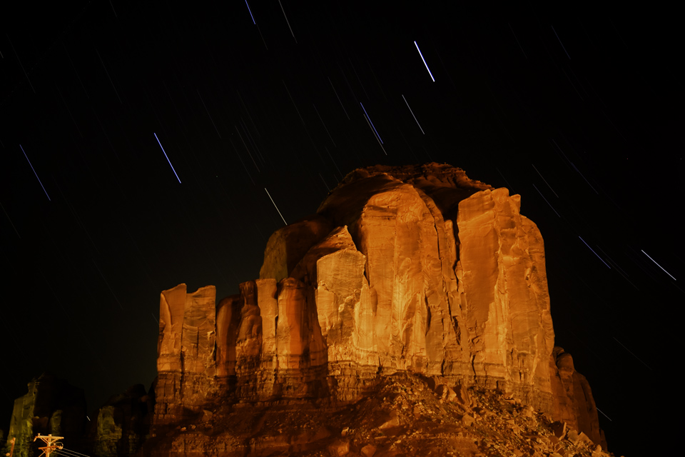
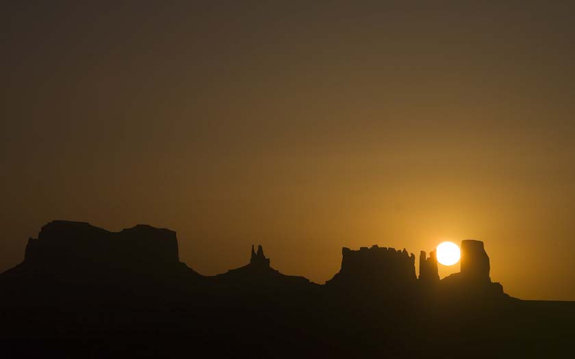
Morning sunrise
Channelled
Going up the Moki Dugway from Valley of the Gods, the sign has
attracted lots of attention in the last few years.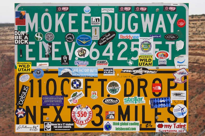
Clothes washer flowers in upper Utah.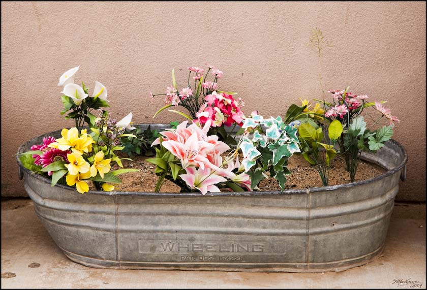
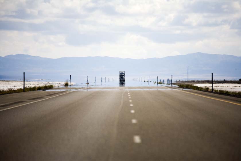
Salt Lake Apparitions
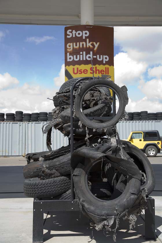
And further along, tires are in big demand.
Then we were back at San Fran, and Jackie's plane took off without a
hitch. It was a great time and we saw lots of new sights. I think she
will be coming back again sometime soon!
Heading
North to More Mountains
Mountain Direct
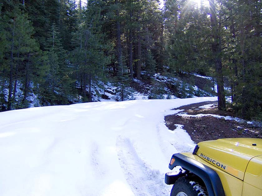
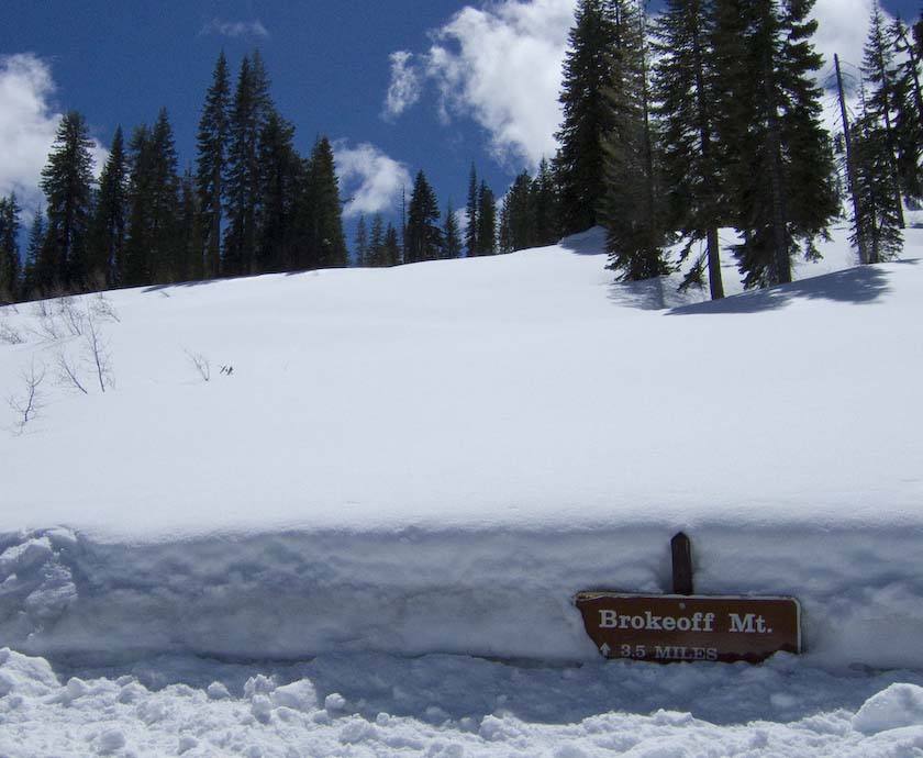
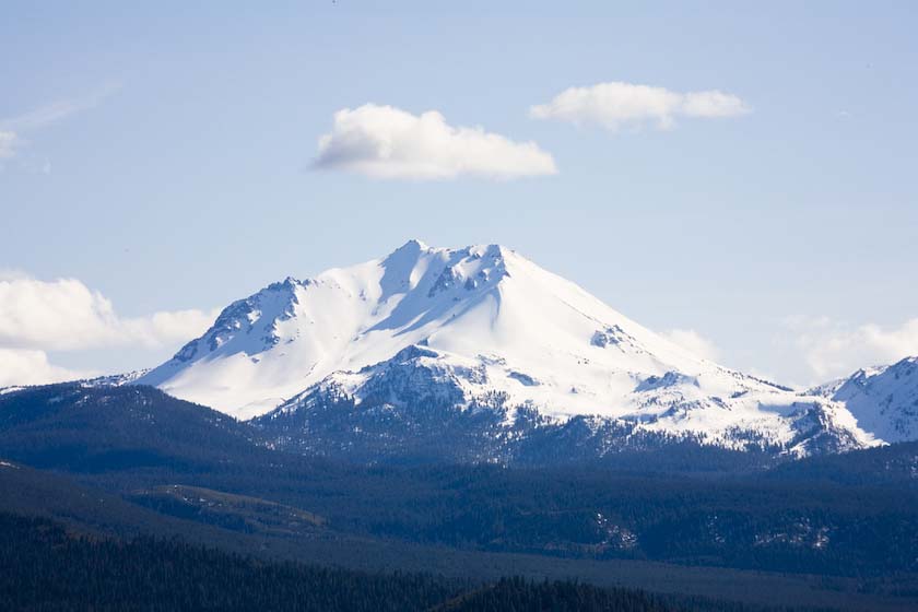
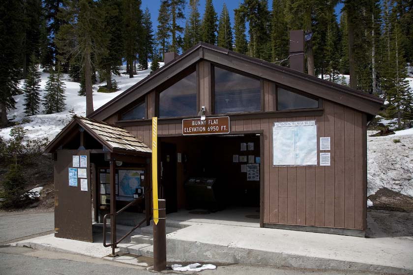
My first stop in Northern California was the Mt. Lassen area.
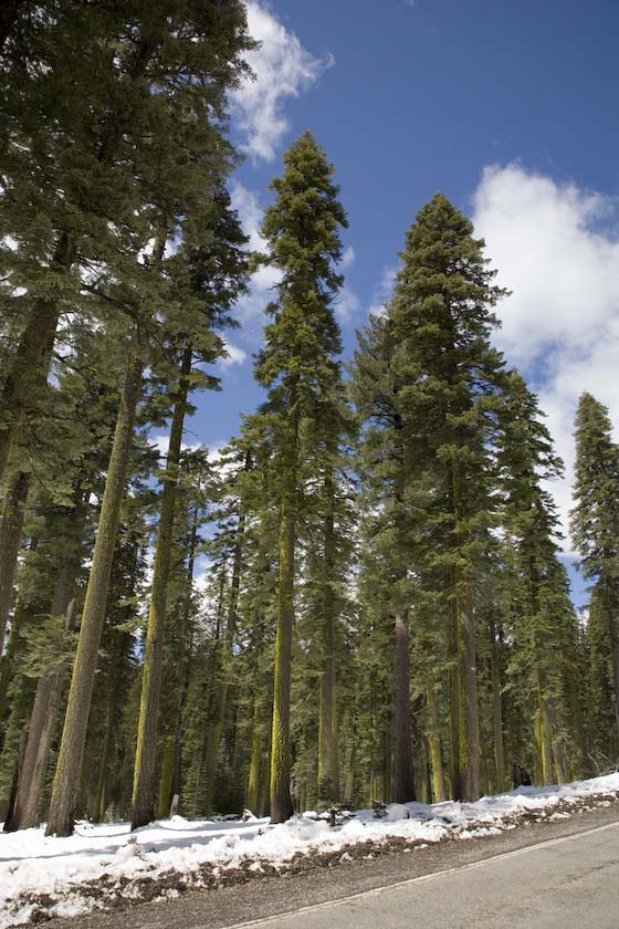
big Lassen trees
Everything closed
(officially, anyway)
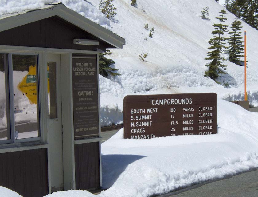
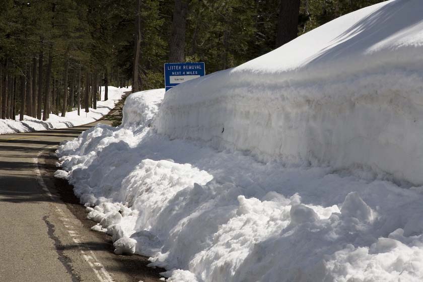
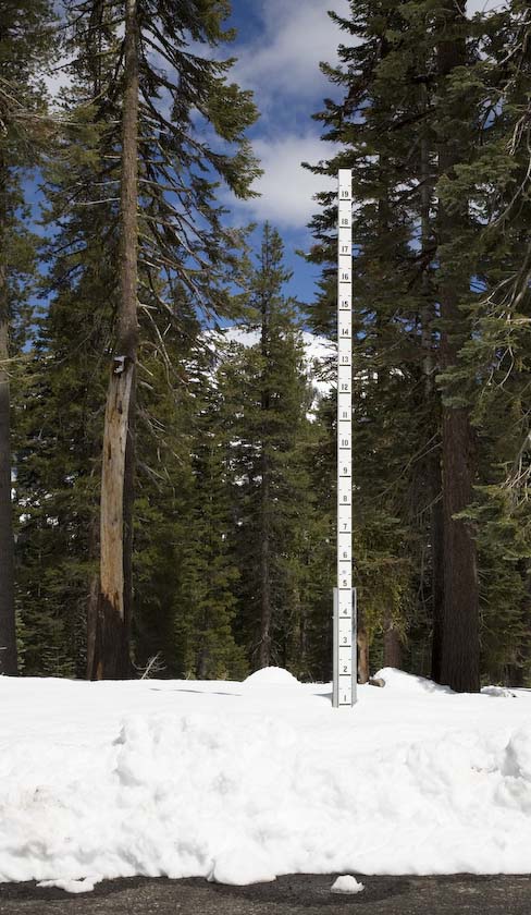
Serious Snow Pack
Only 3.5 miles. Really?
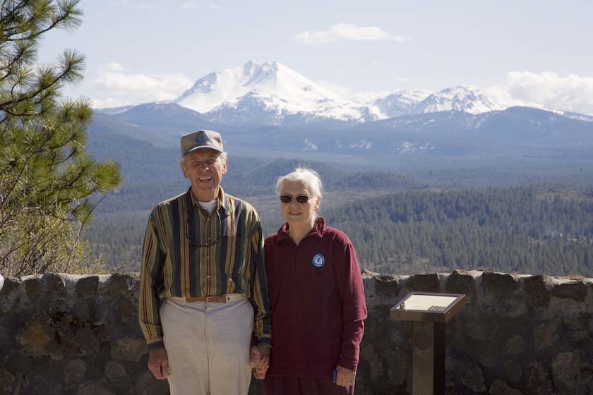
Arriving at a Mt. Lassen lookout, I pulled out the cameras for a
seesion. There was one other car in the parking lot when I arrived. And
sure enough, pretty soon I had the pleasure of meeting John and Vera,
who come to Lassen regularly, and now live in the Tahoe area. For
many years they had been working in Yosemite high country and are
now continuing their environmental efforts with the Tahoe Trail
initiative (John's hat and Vera's sweater badge say it all). We had
lots to talk about! All the best to you both.
To read the
Plaques at the Lassen/ Hat Creek Lookout, click here
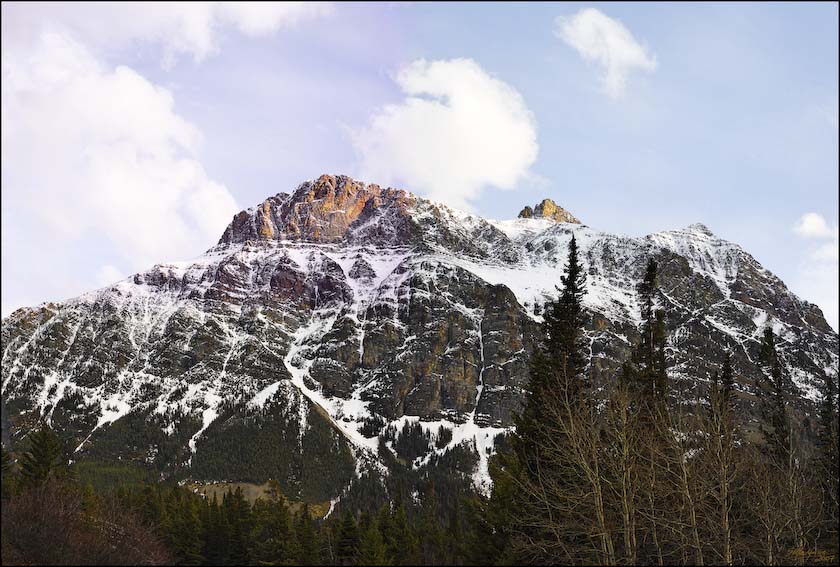
Mt.Lassen
Further along the highway there are numerous friendly towns and
stopping points. There are also some NPS people who take their job
seriously.
No fooling around with the Chester Forest Rangers on duty
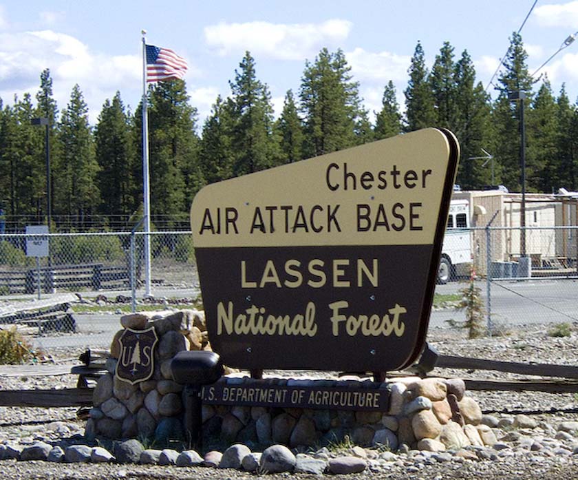
On my way to Red Bluff by way of smaller roads
After a great night in Red Bluff, and a good rest, it was off to visit
the forests and sights of Mt. Shasta. It's definately another great
hiking area, with miles of forest roads leading to uninterrrupted
camping and forest peaks.
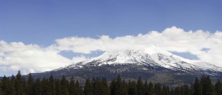
More Mt. Shasta info
here
Finally, heading north again up towards Oregon...
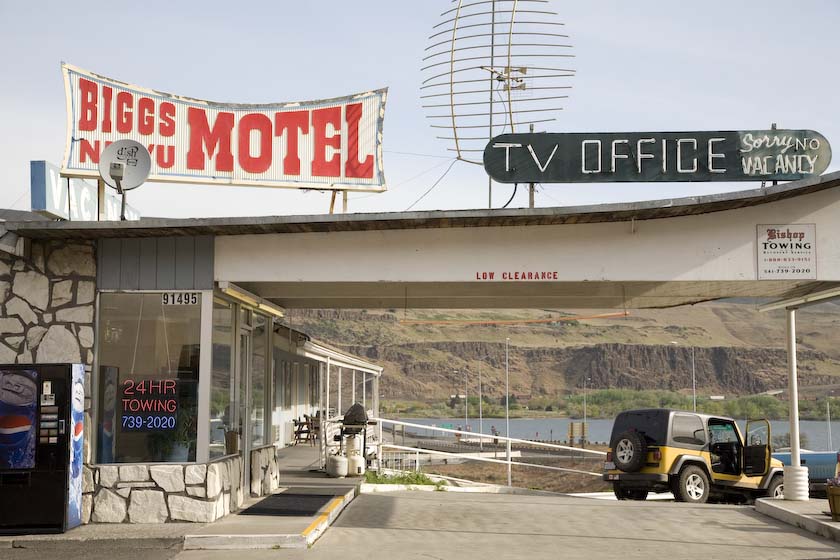
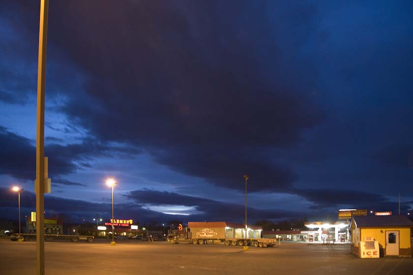
and then, a night in Biggs, at the only motel in town.
From there it was Highway 30, then cross country up 395 and
Interstate 90 to
Spokane, thence backroads and highway 2 up toward Kalispell and
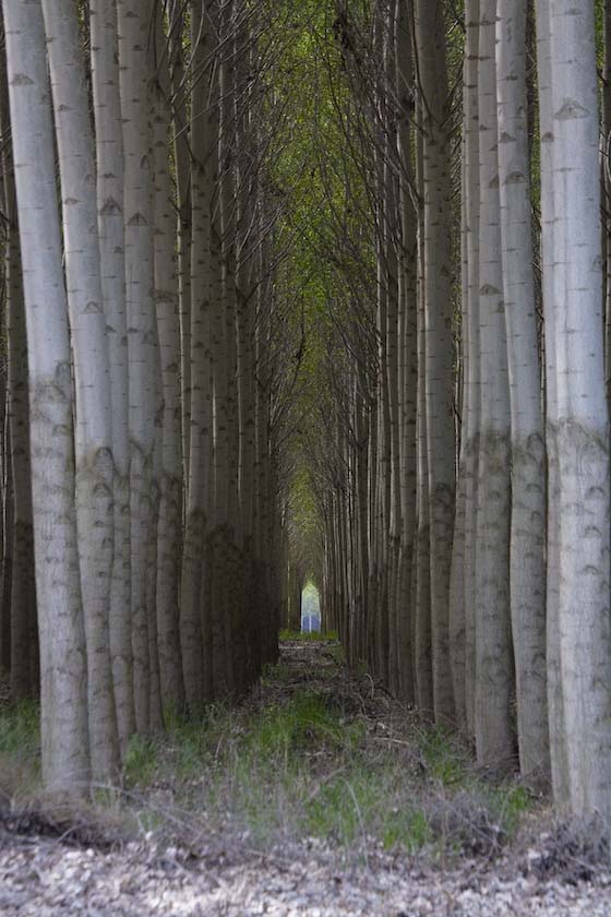
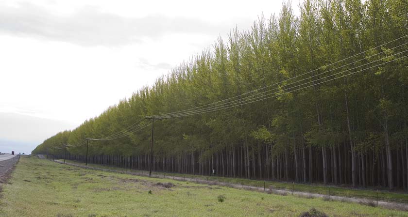
Glacier National Park. Along the way, it was very interesting to see a
poplar reforestation that basically
stretched for a few miles, in large stands. These trees are seven years
old and will be ready for harvesting and replanting very soon.
Kalispell

My night at the motel, at the World
Famous...
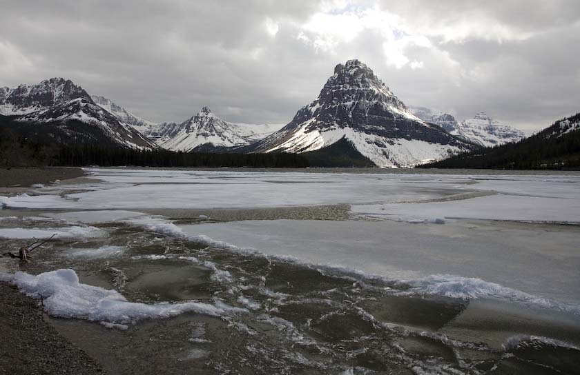
Glacier
National Park
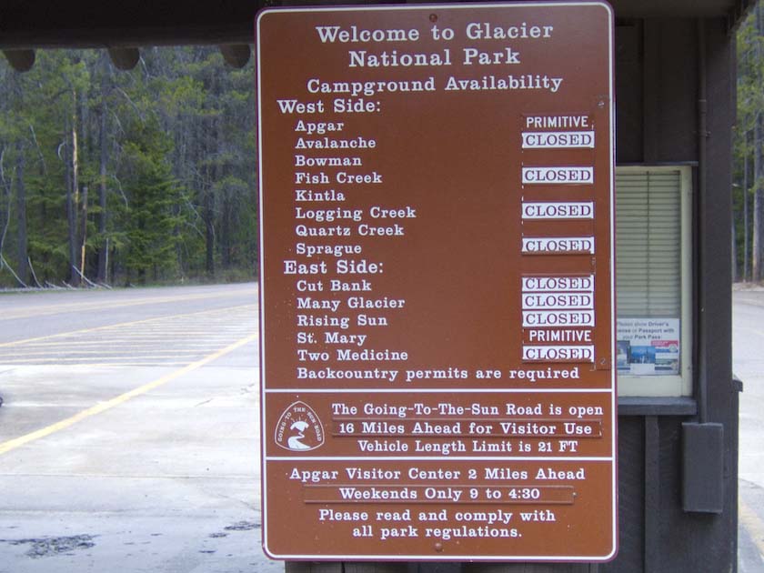
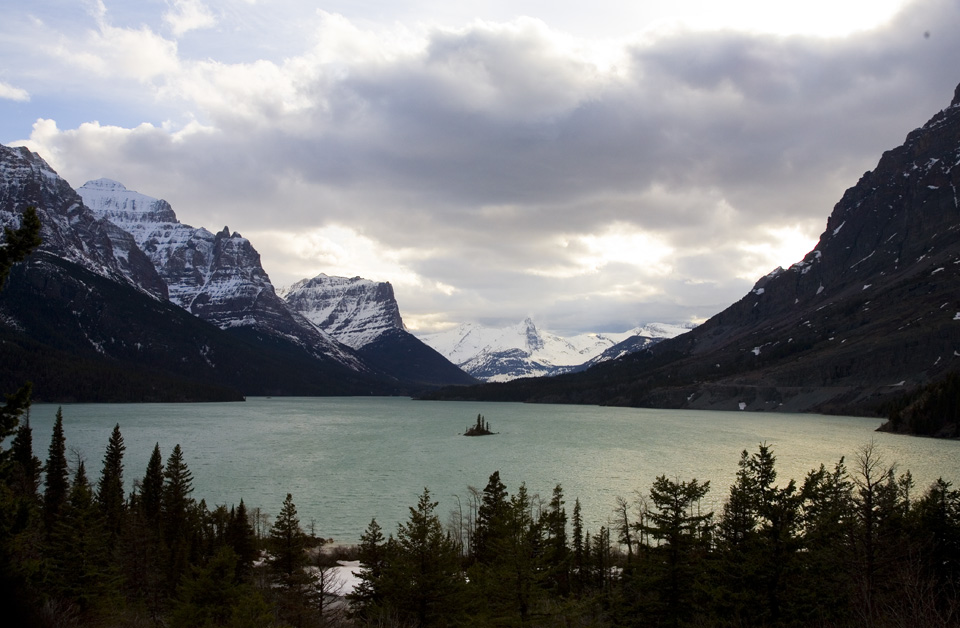
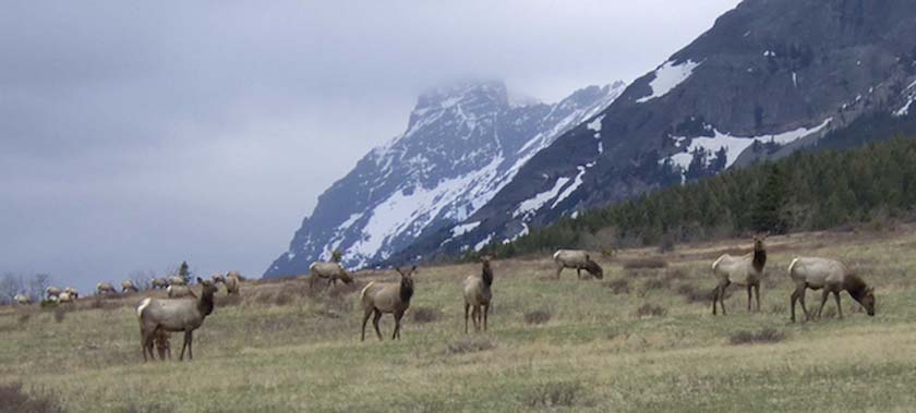
St. Mary Lake and Wildgoose Island
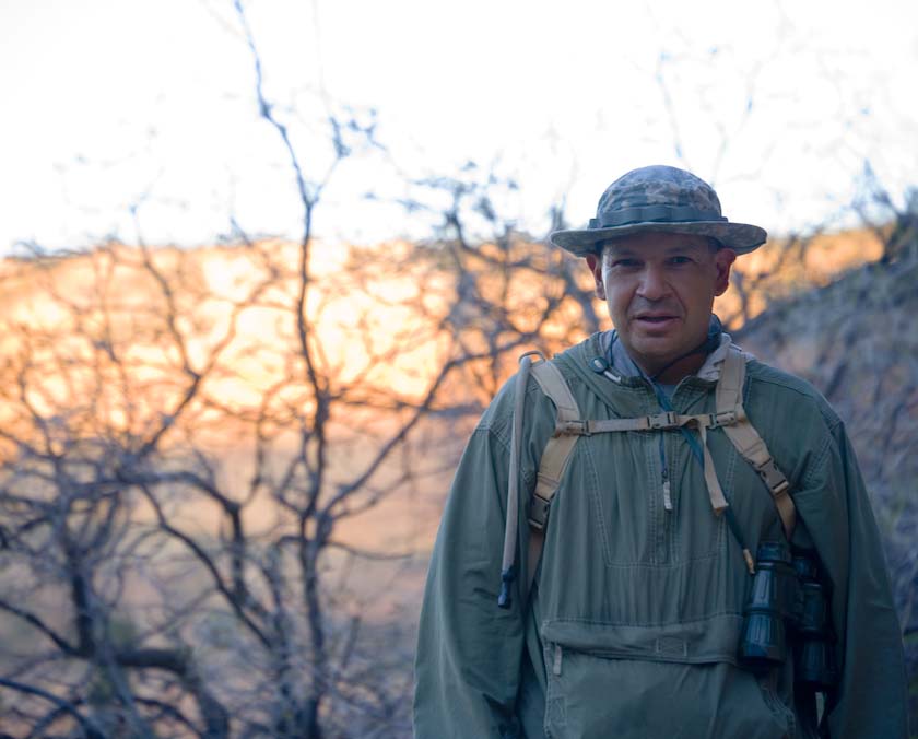
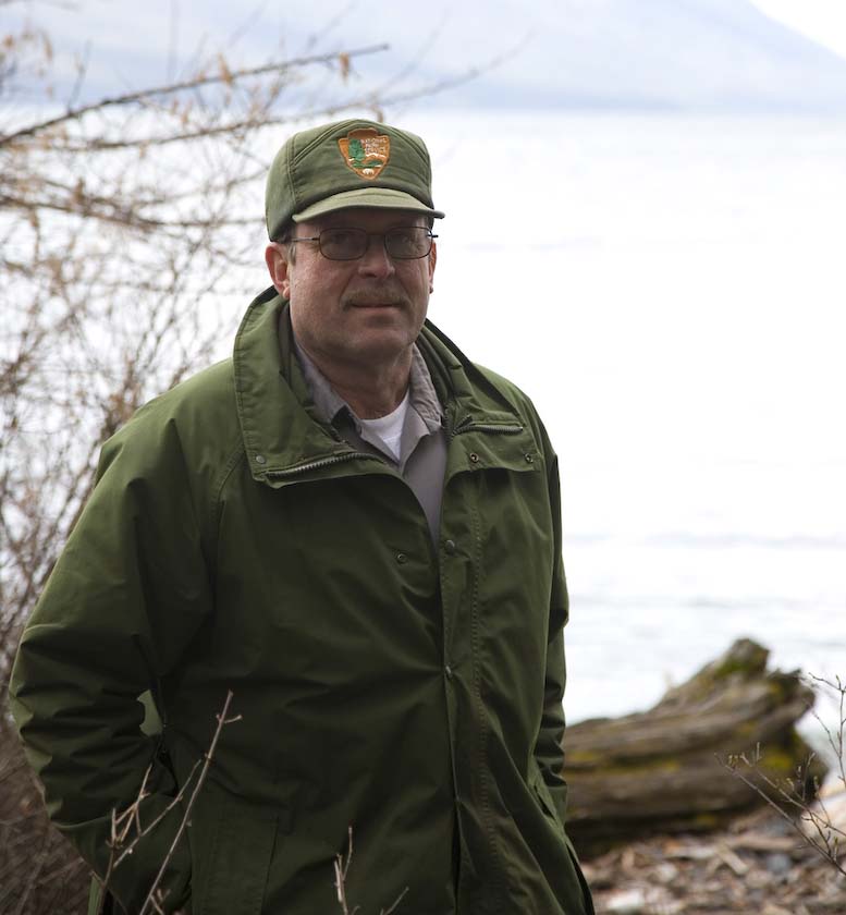
Over on the western side of the Continental Divide at the Upper Lake
MacDonald Ranger Station I met a very interesting gent with the
NPS.
Walter, the District Fire Chief, has spent many years working in
Glacier, and we chatted for quite
some time. The busy season was still a ways off, so it was largely prep
work being done right now, priming pumps, water sampling, getting
things shipshape and all. A great way to start the morning
learning about the history and current status of the humans and the
animals.Thanks for spending all that time with this park visitor Walter!
Walter at Lake MacDonald
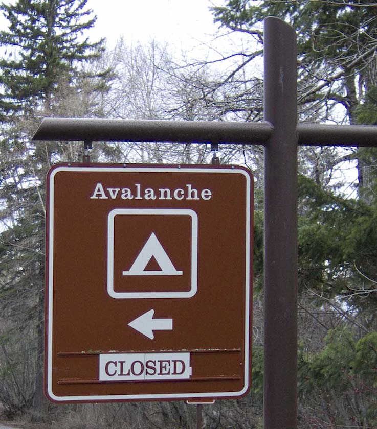
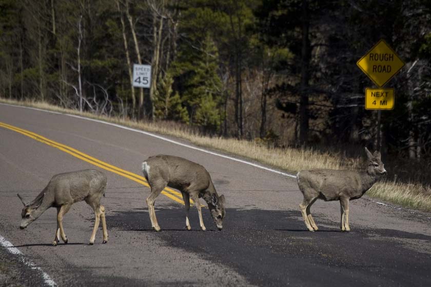
Just down the (rocky) road, several trails were closed to
protect Bald Eagle habitat during the nesting season.
A Leisurely Stroll, led by Tiddles the
Deer
Don't Rush Me
Being Inspected by the Locals
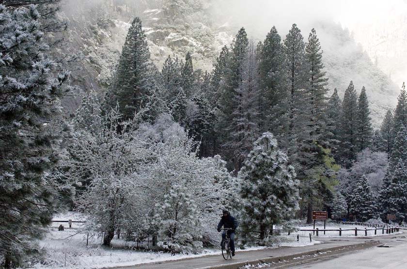
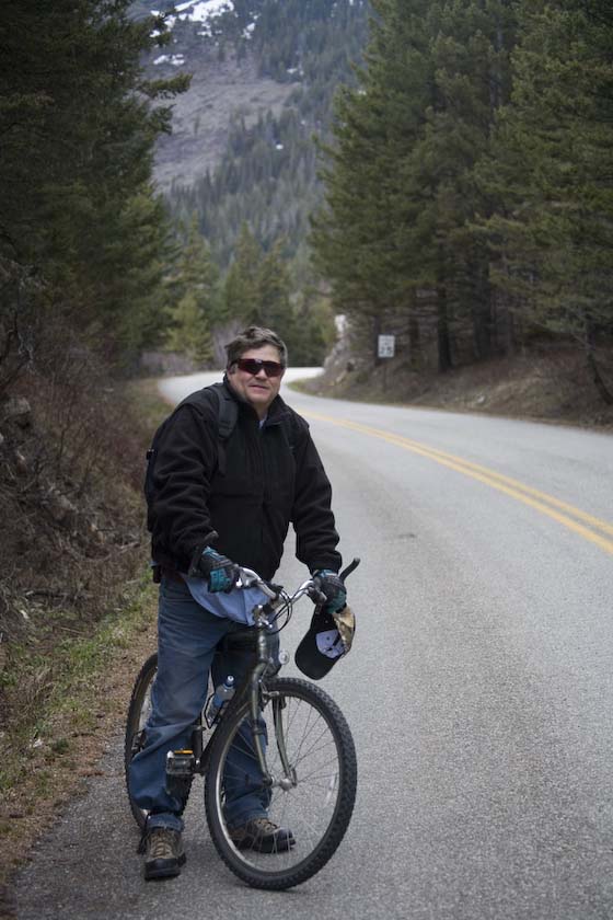
Along the Going to the Sun Road, the only person I met the whole day
was a local avid biker, out for some vigorous exercise. Living just
outside the park, it was very convenient to get lots of mountain
cycling miles in!
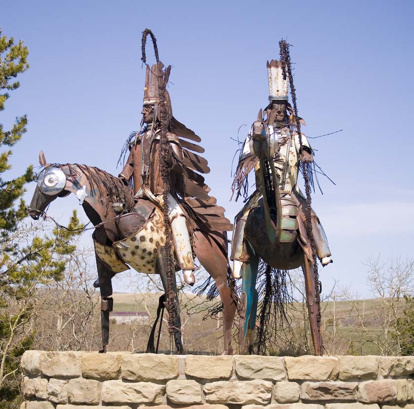
An Iron Horse and the Originals

Truckin'
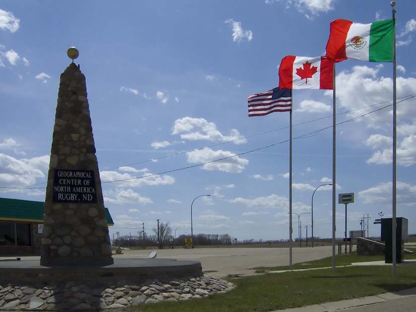
Rugby North Dakota is the geogrphic center of North America, and they
have a nice monument to the fact.
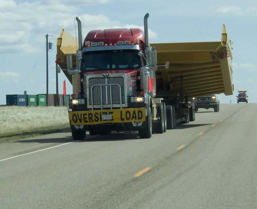
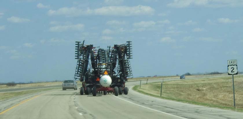
Talk about huge tractors. They also tow big tanks of liquid ammonia
fertilizer along with them. And then there are the "cannons".
Head out on the highway, lookin for
adventure, and whatever comes my way...
After enjoying the northern Michigan forests, it was back into Ontario
at Sault Ste. Marie. Travelling was pretty much uneventful with
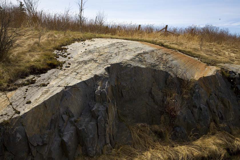
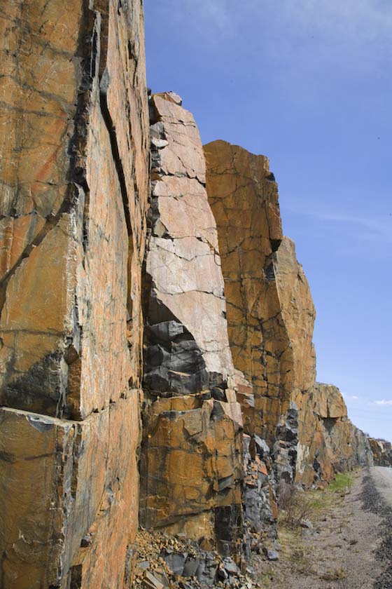
sunny skies. At Sudbury, I stopped to have a look at the massive
glacial polishing on the hard Canadian Shield granite. And right next
to it the clean faces of fractured monolithic blocks containing high
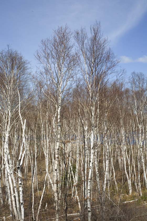
concentrations of minerals (iron for example). Nearby, probably because
of the unique soil's nature were large stands of birch all by
themselves.
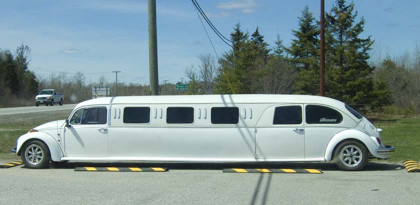
A Sudbury limosine, unique in all the world
And so it was that I arrived back in Ottawa at the end of April.
Covered a lot of territory, and had a great time. My only regret was
not getting to Rossland. That will have to be a big part of the next
trip. Meanwhile, Spring has arrived in Ottawa, and now it's time to get
out on the bike (bicycle, that is). I'll keep my eyes open for
more good license plates as I go.
Interesting
License Plates this trip
I hope you enjoy the summer, and manage to find time outdoors. It's one
of the best ways to shed stress. Happy Trails!
Gordon
ab